
Home Preamble Index Areas Dales Hills Lakes Places Reserves Rivers Structures Villages References Me
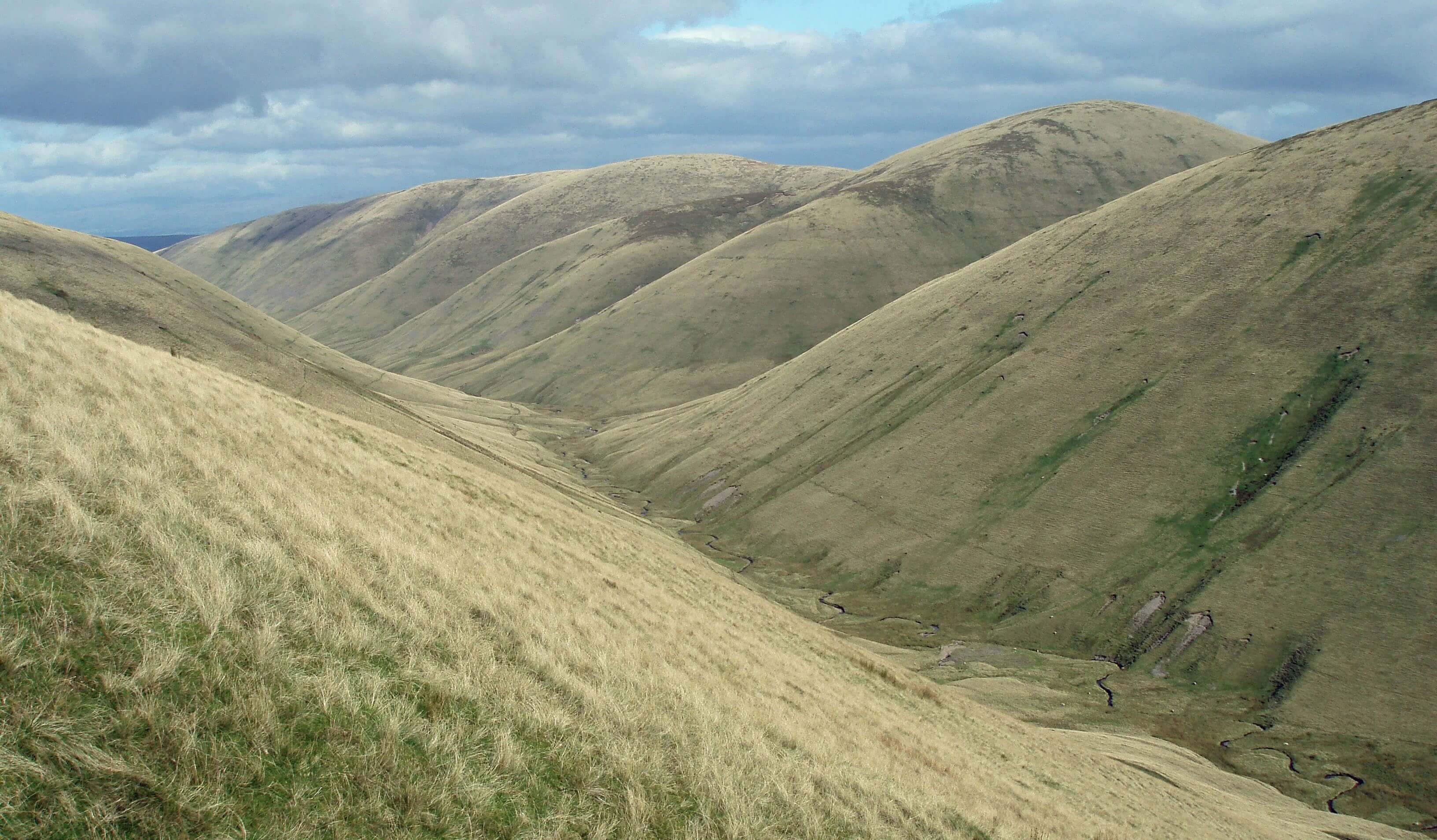
Bowderdale, with, from left to right, Hooksey, Randygill Top and Yarlside (photo taken on an earlier occasion)
There are about 60 named hills on the OS OL19 map of the Howgill Fells. I say ‘about’ because some of the names are attached to slopes or ridges where there is a barely perceptible rise and therefore hardly a hill. In fact, of those 60 or so names only 21 are associated with a drop of over 30 metres, which is the usual criterion for considering a rise to be a bona-fide, independent hill. Most of the rest have a drop of less than 10 metres. I have included a list of the named rises at the end of this document.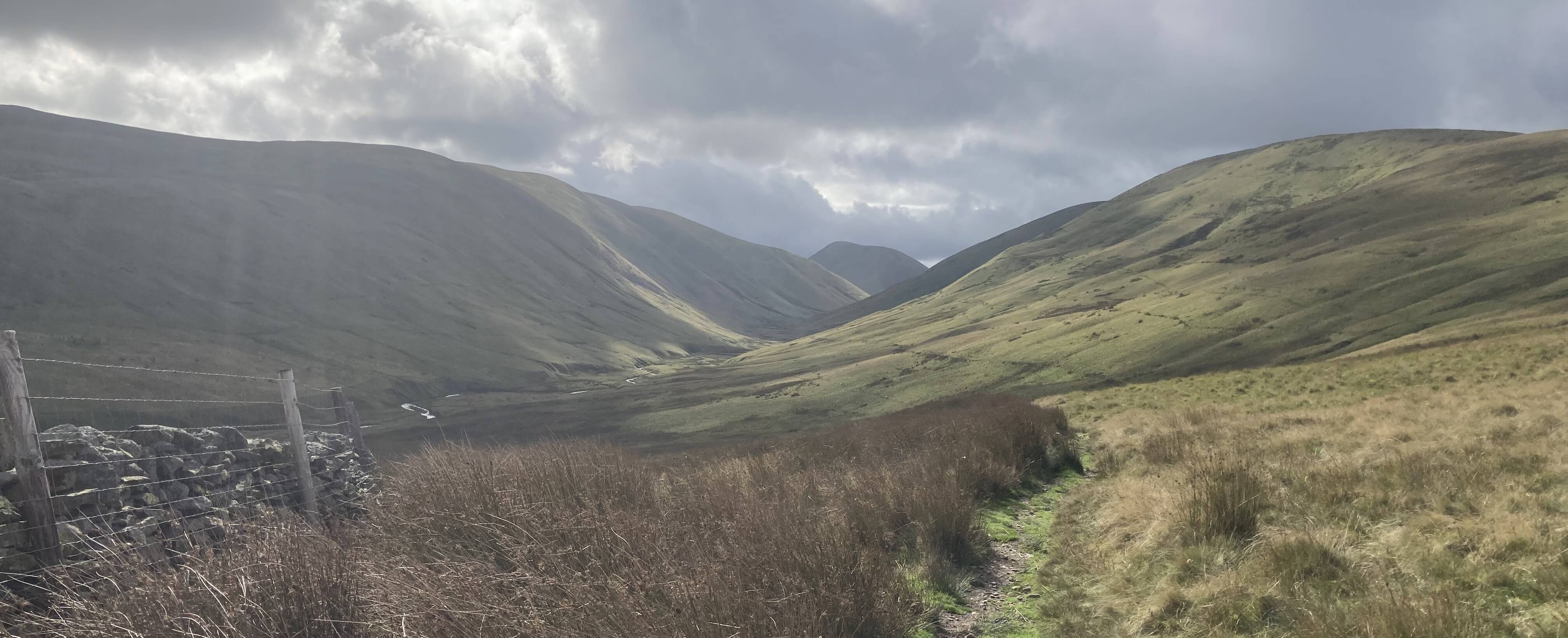
The path into Bowderdale
The path stays on a contour and therefore as I walked along the valley I became gradually nearer the beck. It was silent, apart from the occasional baa. The only thing that caught my eye were the extensive examples of post-Ice Age gully erosion and alluvial fan sedimentation. I understand that the Howgills provide an excellent case study for geology students in this regard.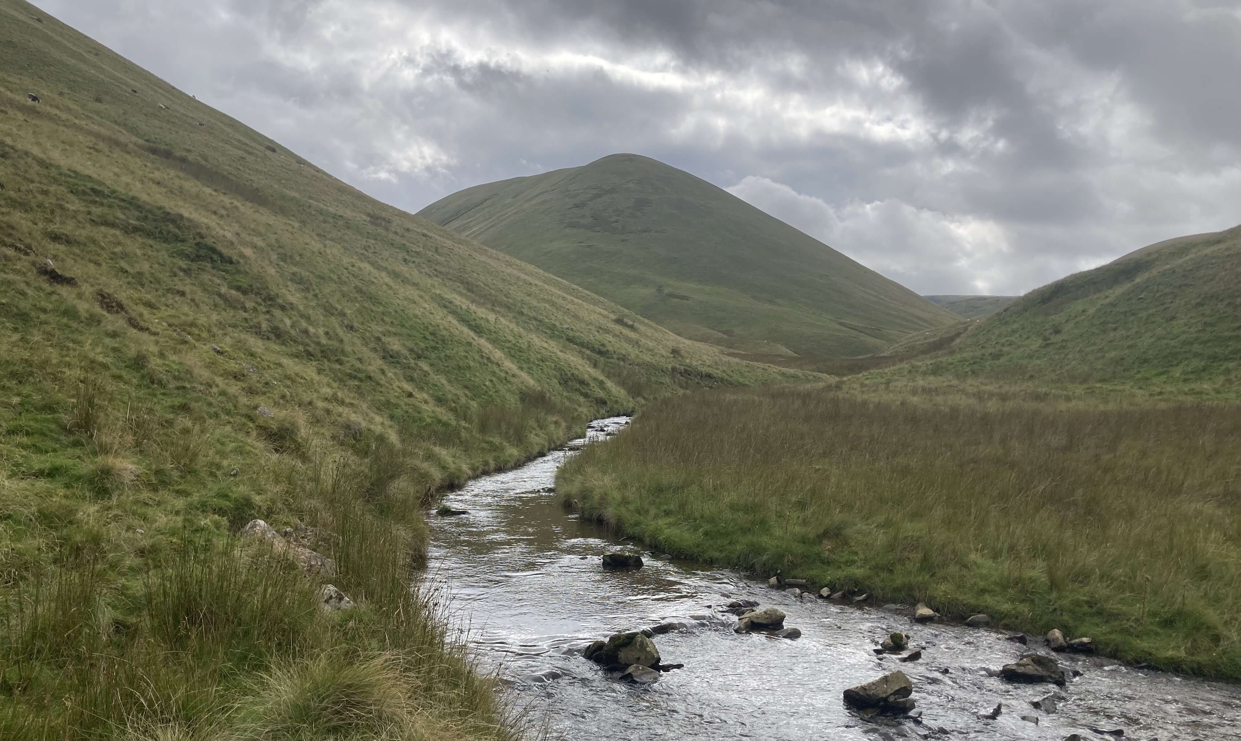
Bowderdale Beck
And then it was, for me, a long slog to the top (624 metres). The sheep that frequent these hills prefer to walk horizontally around them and therefore create stripes across the hillside. I’m not sure whether they are a help or a hindrance to someone wanting to walk up the slope. As I struggled up, nose to grass, I noticed that there was plenty of bilberry, bonsai-high, thanks to the sheep and fell ponies. If rewilders have their way, and the sheep and ponies are banished, these slopes will turn a luxuriant shade of bilberry green, before shrubs and trees take over. I pressed on, pausing often to admire the prototypical, elemental dale, now within the Yorkshire Dales and surely within the Westmorland Dales too [252].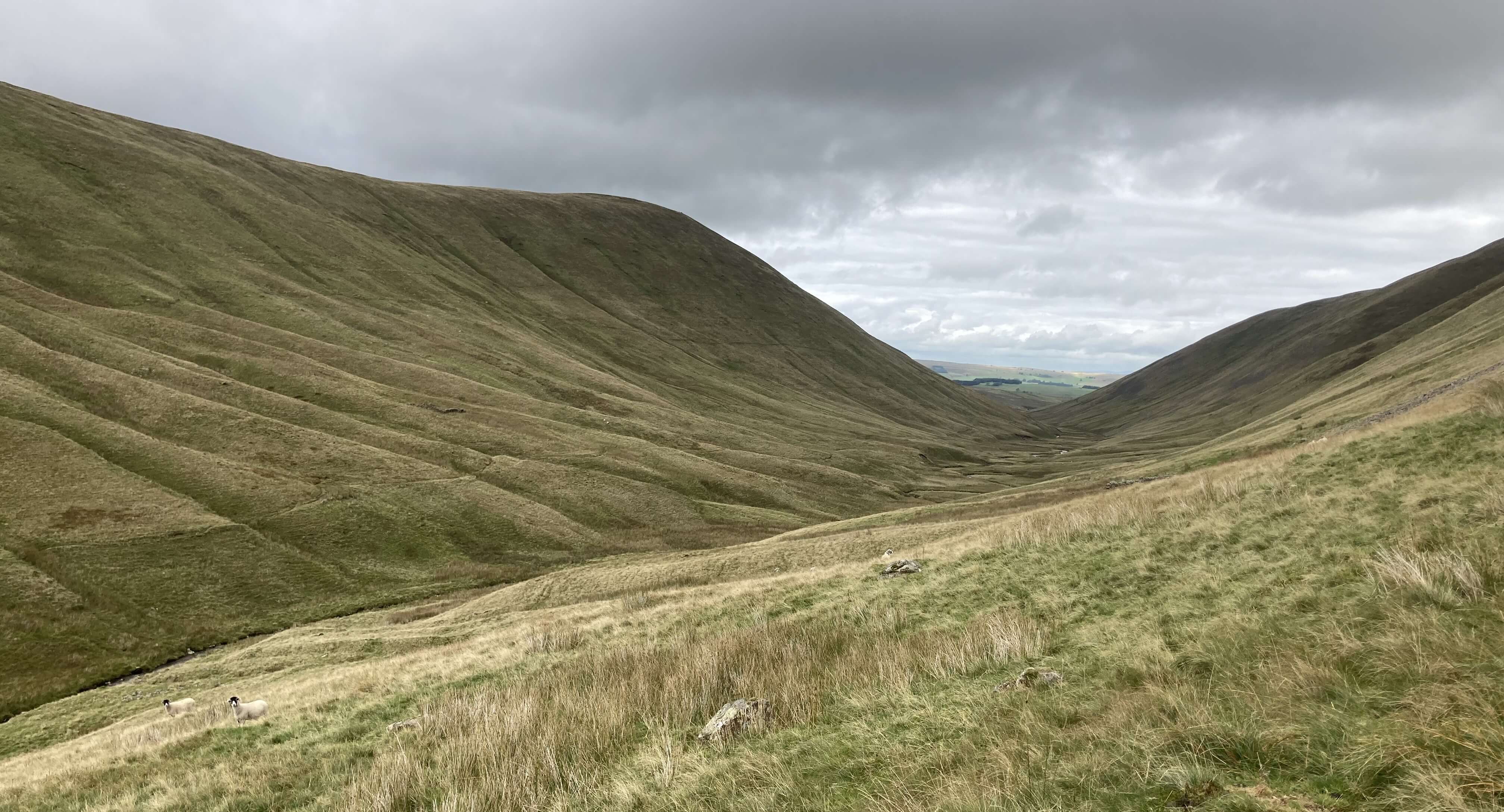
Looking north down Bowderdale from the slopes of Randygill Top (the path I followed can be seen on the opposite bank)
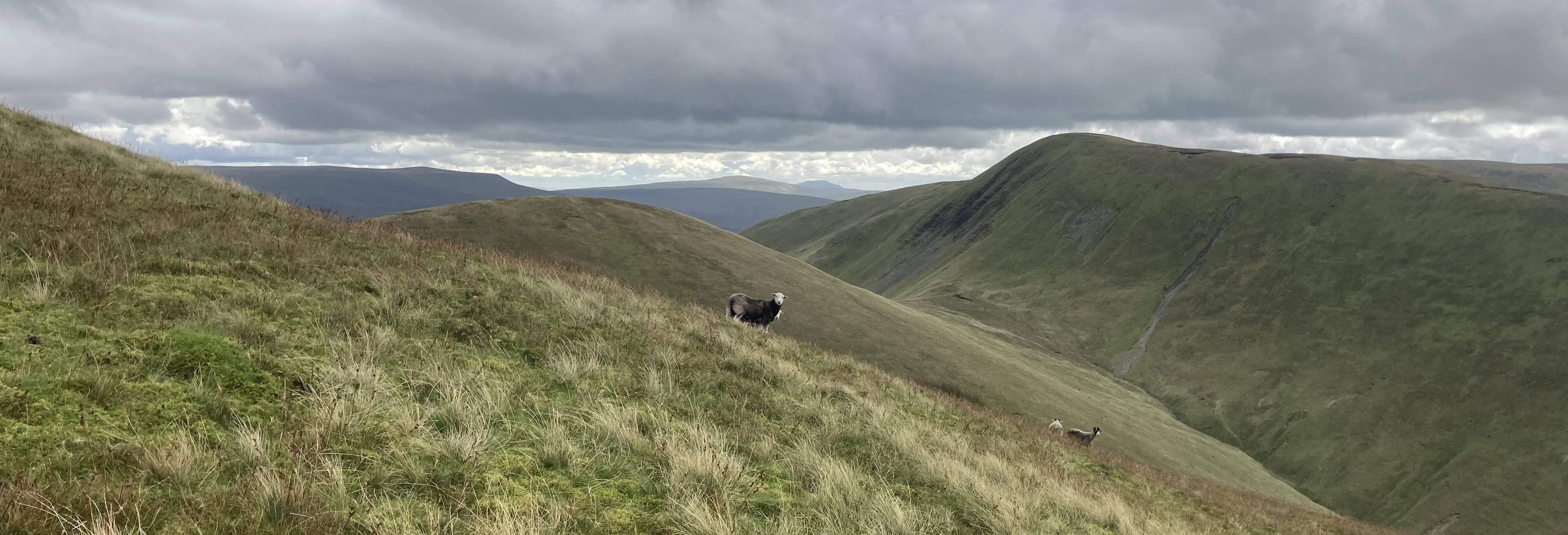
Looking south from the slopes of Randygill Top, Whernside and Ingleborough in the far distance, Kensgriff and Yarlside behind the sheep
The steepness gradually lessened and I eventually reached the top, where there is only a jumble of stones to mark the spot. I sat with my sandwiches for a leisurely break. Time seems irrelevant up here. The hills don't change, although occasionally patches would be set aglow as the sun managed to pierce the low, dark clouds that hovered just above the hills.
From Randygill Top, looking towards the Lake District
I was reluctant to leave the top, not least because although I could see my next objective, Hooksey (586 metres), to the north, looking somewhat diminutive, I knew that to get there I would have to lose more height than I would prefer by dropping down to the col of Leathgill Bridge (a natural saddle at about 520 metres) before being able to walk up it. But it had to be done – and it was. Actually, Leathgill Bridge is a rather splendid location, between two hills to the north and south and between two fine dales to the west and east, all velvety smooth.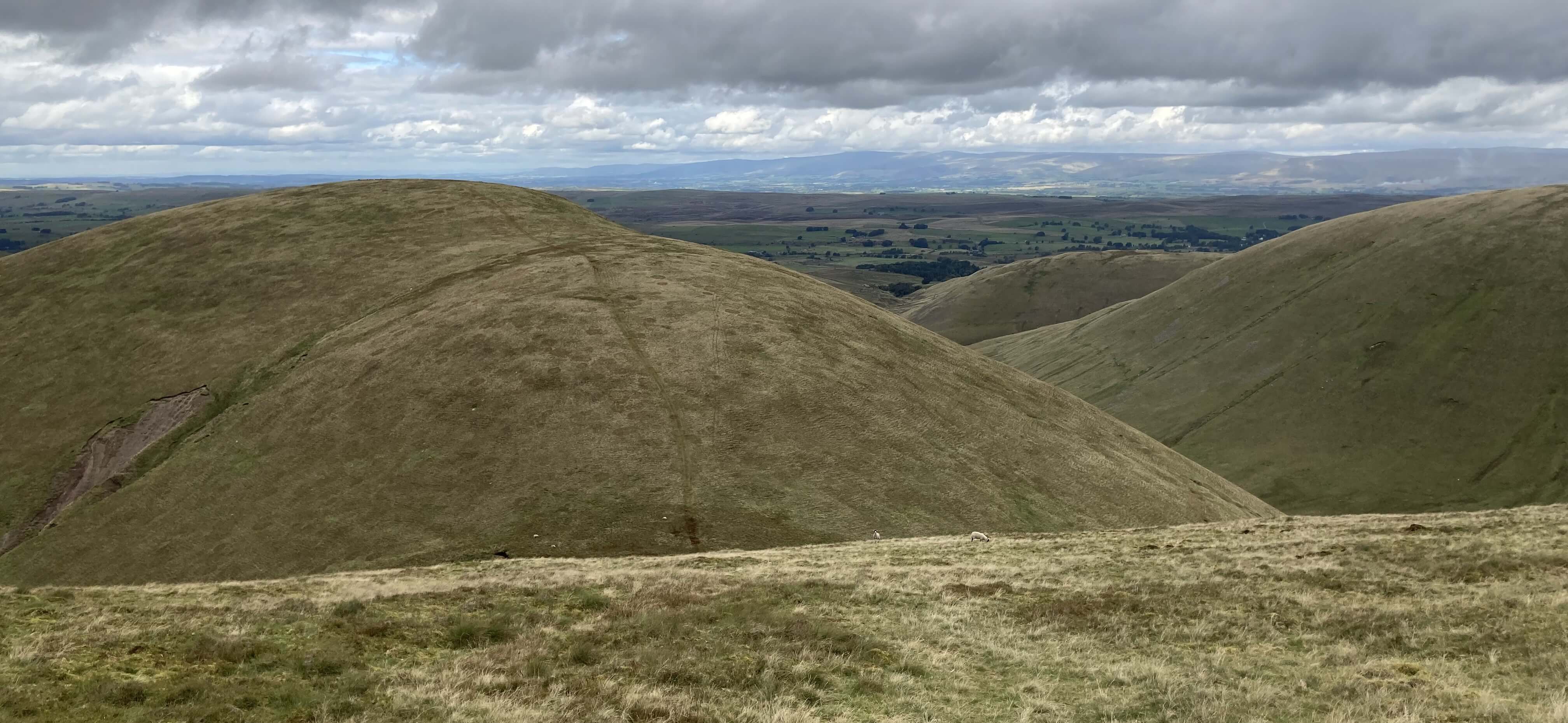
Dropping down to Leathgill Bridge, Hooksey ahead and the valley of Weasdale to the right
There is no clear top to Hooksey although a few stones pretend otherwise. For some reason, the name of Hooksey is placed on the map nearly a mile north of its highest point. From the top it was a long but gentle decline, passing a few ink-black pools, all the way to the hamlet of Weasdale. Here the acclaimed Weasdale Nurseries, said to be the highest in the country and therefore a specialist in hardy plants, has recently closed, the family that had run the business since 1950 being unable to find anyone able to take it over.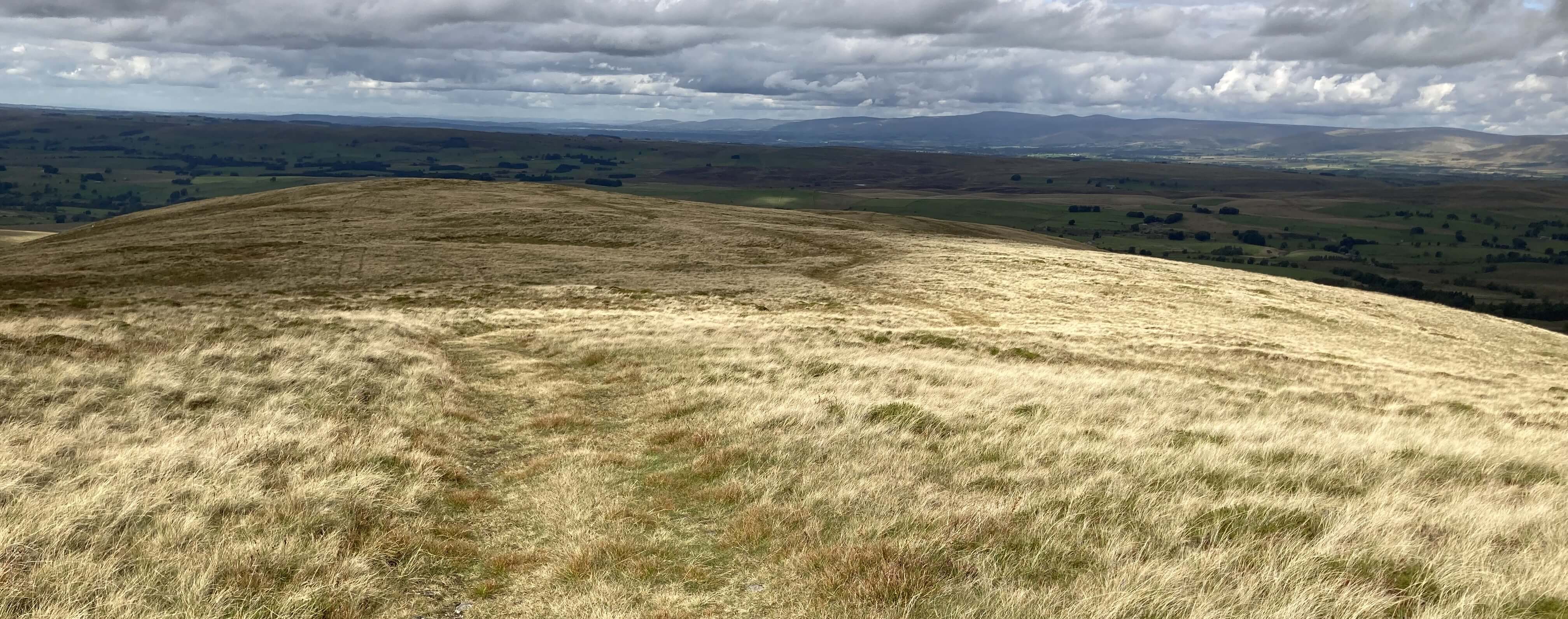
The path down from Hooksey
As I have previously experienced, the footpath from Weasdale to Gars was troublesome, this time with many inquisitive bullocks and bulls. I was too tired to discuss the matter with them, so I trespassed over some quieter fields. I preferred to reflect on my hours in the dales and on the fells, hours when I saw nobody at all anywhere. It is over ten years since I last walked up Randygill Top and nothing has changed – except that the distances and the heights seem to have doubled.Ht Drop Grid ref
- Round Hill 280 1 NY6904
- Roger Howe 315 5 NY6103 +
- Gelstone Hill 333 3 NY6203
- Weather Hill 345 5 NY6303 +
- Peatmire Hill 280 1 NY6403 +
- Pinskey 291 3 NY6903
- Powson Knott 374 4 NY6102 154
- Knott 391 6 NY6302 +
- West Fell 542 45 NY6602 +
- Hooksey 586 68 NY6802 258
- High Knott 402 3 NY6902
- Stwarth 435 7 NY6902 +
- Hare Shaw 472 13 NY6201 154
- Archer Hill 465 13 NY6301
- Rispa Pike 474 17 NY6301 +
- Middleton 490 17 NY6501 +
- Langdale Knott 477 36 NY6501 +
- Hunthoof Pike 524 3 NY6902
- Green Bell 605 48 NY6901 +
- Knoutberry 530 12 NY7001 +
- Knott 465 11 NY7101
- Blirt Hill 371 1 NY7201
- Blease Fell 474 57 NY6200 154
- Uldale Head 532 130 NY6300 +
- Hand Lake 500 41 NY6400 +
- Randygill Top 624 131 NY6800 258
- Stockless 568 13 NY6900 +
- Spengill Head 595 6 NY6900 +
- Grere Fell 544 18 NY7000 +
- Adamthwaite Bank 481 15 NY7100 +
- Harter Fell 521 120 NY7200 +
- Over Sale 529 18 SD6599 +
- Docker Knott 530 21 SD6599 +
- Taffergill Hill 551 11 SD6599
- Bleagill Head 590 5 SD6599
- Simon's Seat 587 83 SD6599 +
- Hazelgill Knott 578 42 SD6799 +
- Kensgriff 574 66 SD6899 +
- Wandale Hill 497 111 SD7099 +
- Linghaw 499 35 SD6398 +
- Fell Head 640 86 SD6498 +
- Breaks Head 638 4 SD6598 +
- Wind Scarth 631 5 SD6598 +
- Bush Howe 623 18 SD6598 +
- Cobles 534 5 SD6698
- Yarlside 639 208 SD6898 +
- Whin's End 398 3 SD6397 68
- White Fell Head 641 7 SD6497 +
- The Calf 676 383 SD6697 15
- Ben End 596 2 SD6997
- Castley Knott 361 23 SD6496 68
- Brown Moor 412 35 SD6496 68
- Bram Rigg Top 672 15 SD6696 +
- Calders 675 34 SD6796 15
- Little Dummacks 660 2 SD6796 15
- Great Dummacks 663 5 SD6796 +
- Seat Knott 342 14 SD6495
- Arant Haw 605 57 SD6694 67
- Sickers Fell 498 8 SD6794
- Knott 429 13 SD6794
- Winder 473 32 SD6593 67
- Crook 460 7 SD6693 +
Home Preamble Index Areas Dales Hills Lakes Places Reserves Rivers Structures Villages References Me
© John Self, 2018-
Contact: johnselfdrakkar@gmail.com

Top photo: Rainbow over Kisdon in Swaledale; Bottom photo: Ullswater