
Home
Preamble
Index
Areas
Map
References
Me
Drakkar
Saunterings: Walking in North-West England
Saunterings is a set of reflections based upon walks around the counties of Cumbria, Lancashire and
North Yorkshire in North-West England
(as defined in the Preamble).
Here is a list of all Saunterings so far.
If you'd like to give a comment, correction or update (all are very welcome) or to
be notified by email when a new item is posted - please send an email to johnselfdrakkar@gmail.com.
128. Spring around Scout Scar
 I haven't taken our usual route, the A591, into central Lakeland for eighteen months
(since travelling to Grasmere to walk to Grisedale Tarn, in
Sauntering 65). We didnÆt take
it on this occasion either, stopping instead to walk around the limestone escarpment of Scout Scar, west of
Kendal. We werenÆt entirely sure whether central Lakeland was quite ready to welcome us yet.
I haven't taken our usual route, the A591, into central Lakeland for eighteen months
(since travelling to Grasmere to walk to Grisedale Tarn, in
Sauntering 65). We didnÆt take
it on this occasion either, stopping instead to walk around the limestone escarpment of Scout Scar, west of
Kendal. We werenÆt entirely sure whether central Lakeland was quite ready to welcome us yet.
We walked north above Cunswick Scar. It was a warm, sunny, windless day that made it too hazy
for us to recognise many
of our long-neglected hills. The Whinfell ridge could be identified but the aerials on it were almost invisible.
The Howgills stood like distant velvet curtains, with no discernible detail. On this occasion, therefore, we would
have to forget the long-distance views for which Scout Scar is known and focus instead on what is nearby.
Taking the steep diagonal path, we dropped down to pass Cunswick Tarn. Reeds prevented a good
view of the tarn, which is, I understand, an entirely natural tarn (and not one created for the nearby Cunswick
Hall) that sits upon an impermeable slate layer below the limestone cliffs. Past the hall we reached the
ancient Gamblesmire Lane, a delightful lane that has retained a fair smattering of wild flowers in its
hedges û bluebells, celandines, daffodils, trefoils, violets, wood anemones. It was silent apart from a
noisy green woodpecker.
Turning south from the lane we passed some rocky ridges in the fields. I wonÆt pretend to be
competent enough to identify the species of rock û but I am confident that it isnÆt limestone. The limestone
cliffs towered to the left and the green Lyth Valley spread to the right, whilst we walked past flowering gorse
bushes and through
fields of lambs with their mothers. Garth Row Lane was another quiet lane, which we left to walk through the
woodland of Barrowfield Lot, where there was much less wood than there used to be because of recent felling.
A buzzard circled lazily above.
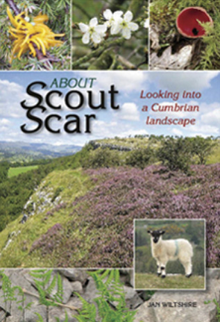
I had read in Jan WiltshireÆs excellent little book About Scout Scar
(Wiltshire, 2008) that thereÆs April blossom in BarrowfieldÆs damson orchard. However, what we assumed
to be the orchard had only two damson trees. Perhaps damsons are less valued nowadays. In any case, the
damson blossom was nothing compared to the exuberant blackthorn elsewhere. Still, Barrowfield
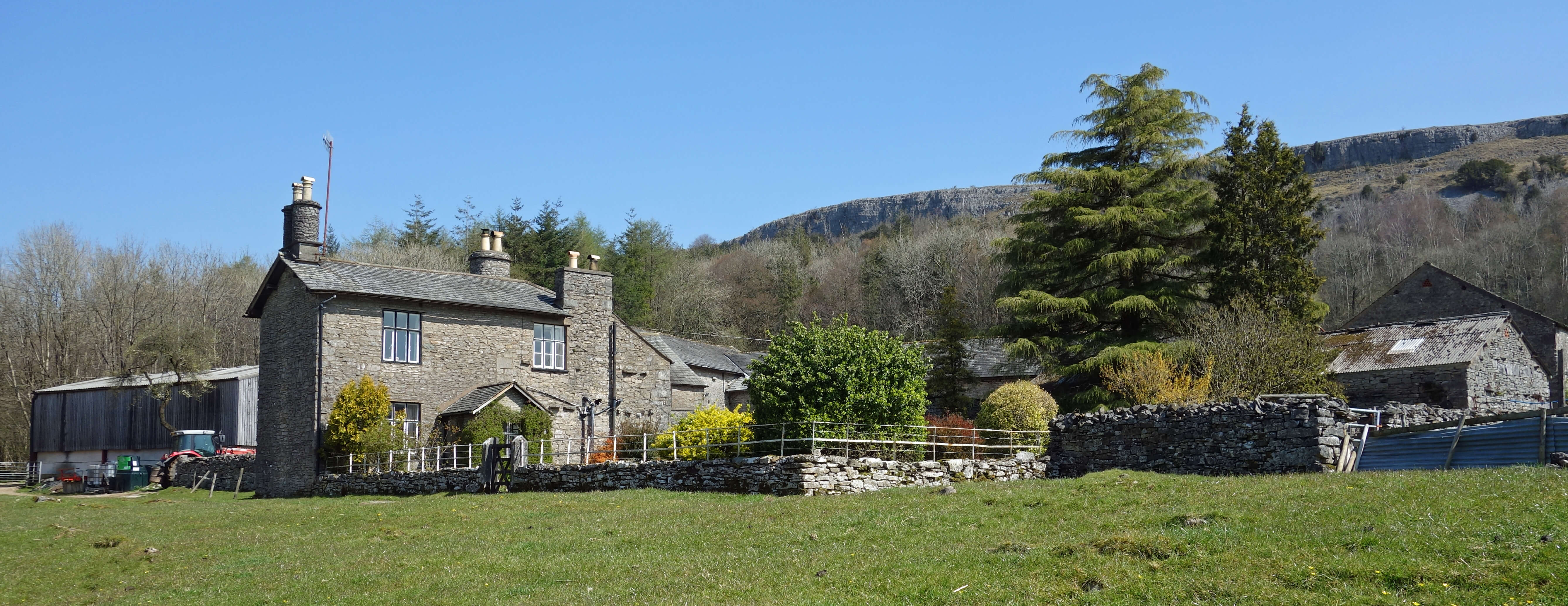
has an enviable location, sheltered within woodland below the cliffs of Scout Scar.
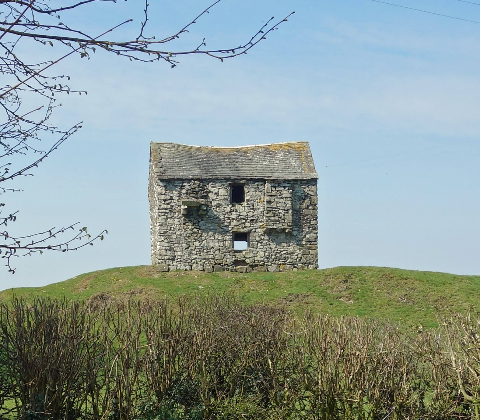
Left: A barn off Garth Row Lane.; Right:
Barrowfield.
We continued south around the foot of Scout Scar into the enclosed area managed by the National Trust,
where it feels more like parkland, with mature trees, than on the open fell. We came hoping to find some of the
flora and fauna described in WiltshireÆs book. The book is organised as a diary, over several years.
The trouble is that these selected entries give the impression that the flora and fauna are rampantly
abundant all the time. Judging by the number of mentions, we are, for example, in April bound to hear
wheatear singing everywhere. Sadly, in the whole mile along the limestone ridge we hardly saw or
heard a single bird. It wasnÆt that we couldnÆt identify the birds (as is usually the case): we couldnÆt
see or hear any birds to identify. The scar was silent. This normally suits me fine but here it seemed
unnatural, as if there was something amiss with the world. This scar really should not be devoid of birds.
Perhaps the unaccustomed warmth had led them
to siesta. Perhaps the stillness had eliminated their insects from the air. Perhaps there are too many
walkers on this ridge for birds.
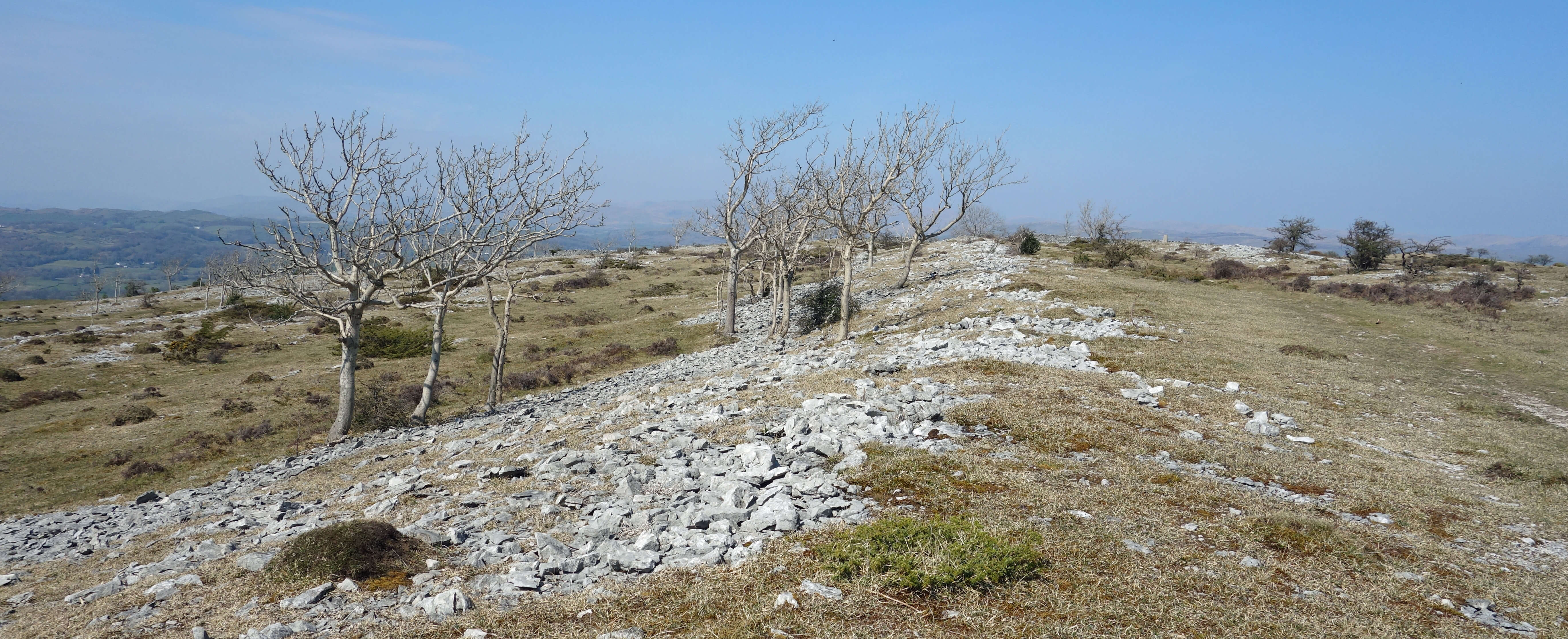
Scout Scar
We fared no better with the flora. Of course, the scrubby ash, hawthorn and juniper couldnÆt be missed
but we did miss the early purple orchids and rue-leaved saxifrages mentioned in the April entries. The
recent lack of rain had made the area so parched that it was hard to imagine that any flowers would flourish.
The only dash of colour we saw was from a few plants that gave passable imitations of dandelions. Perhaps they
were dandelions.
Scout and Cunswick Scars has been designated a Site of Special Scientific Interest for its flora
and fauna, although we saw little of it. We saw little of the surrounding hills either because of the haziness û
for example, we could only just make out the distinctive shape of the Langdale Pikes. At the æmushroomÆ, the
shelter that provides a panoramic view of the
surrounding hills, we looked inside the roof of the shelter to study the fine toposcope that shows, to
all points of the compass, the hills that may be seen. But the toposcope had been removed, so we
couldn't even see which hills we couldn't see. We
didnÆt mind: it had been a good, varied, not too strenuous walk around the scar.
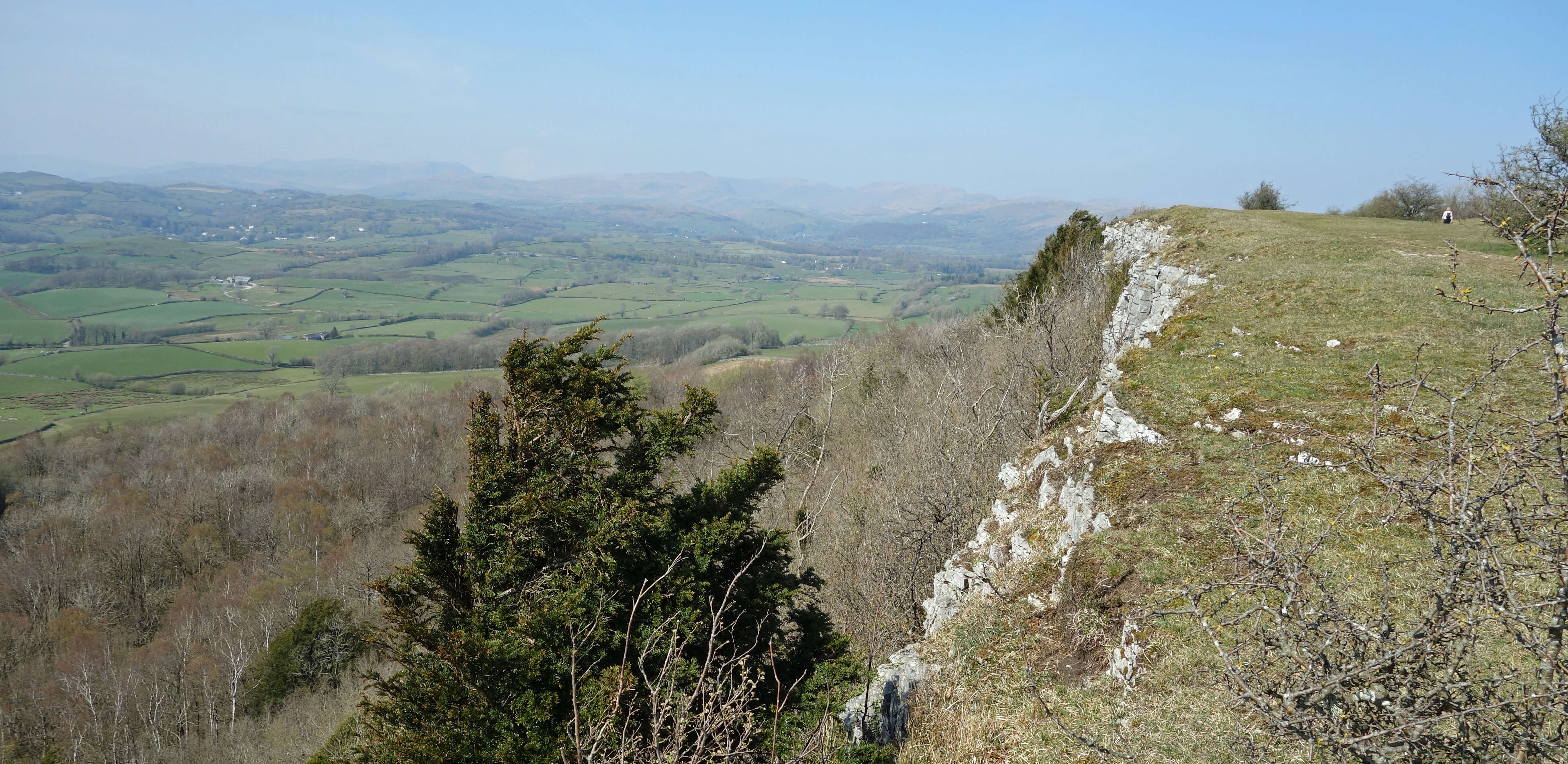
The hazy view from Scout Scar
Date: April 19th 2021
Start: SD489924, car-park off Underbarrow Road (Map: OL7)
Route: N, E, N above Cunswick Scar, NW, W past Cunswick Tarn, S past Cunswick Hall û Gamblesmire Lane û W, S û Underbarrow Raod û E, S on Garth Row Lane, S, E û Barrowfield û E, S û National Trust land û NNW û gate at top corner û N û trig point, mushroom û N, E û car park
Distance: 7 miles; Ascent: 185 metres
Home
Preamble
Index
Areas
Map
References
Me
Drakkar
® John Self, Drakkar Press, 2018-

Top photo: The western Howgills from Dillicar;
Bottom photo: Blencathra from Great Mell Fell