
Home
Preamble
Index
Areas
Dales
Hills
Lakes
Places
Reserves
Rivers
Structures
Villages
References
Me
Saunterings: Walking in North-West England
Saunterings is a set of reflections based upon walks around the counties of Cumbria, Lancashire and
North Yorkshire in North-West England
(as defined in the Preamble).
Here is a list of all Saunterings so far.
If you'd like to give a comment, correction or update (all are very welcome) or to
be notified by email when a new item is posted - please send an email to johnselfdrakkar@gmail.com.
72. Turner and the Lune Aqueduct
I ignored the 6.30 alarm. Who hasn’t found that the adventure planned yesterday for today is not quite so appealing in
the cold dark of morning? Could I rely on British Rail, or whatever it’s called
nowadays, to get me to Windermere and back on time? Probably not. Was I fit enough
for a long walk in a strong wind? Probably not. So I decided to walk to Lancaster instead, to avoid feeling guilty all day.
I walked to Waterworks Bridge in order to continue on the north bank of the River Lune but this was a
mistake. Yesterday’s heavy rain had left large puddles and glutinous mud. From the Crook o’Lune I gave
up the intention to walk by the river and avoided more mud by walking on the old railway line, now part of the
Lune Valley Ramble
– guilt is one thing but I didn’t need to punish myself for it.
It was a familiar stroll, accompanied by dog-walkers, joggers and cyclists but hardly
anyone ‘just walking’. I reflected upon our changing modes of transport, as demonstrated
along the way. The Lancaster Canal crosses the Lune by a fine aqueduct, completed in 1797,
but canals were rendered obsolete (for transporting goods) by the railways. The
Lancaster-Wennington line, built in 1849, ran along what is now this footpath but it closed
in 1966, as a result of increased traffic on the roads. The path passes under the M6 bridge,
completed in 1970. No doubt, in ways impossible to predict, the M6 too will eventually
become obsolete. Perhaps we will return to the mode of transport I was using, legs.
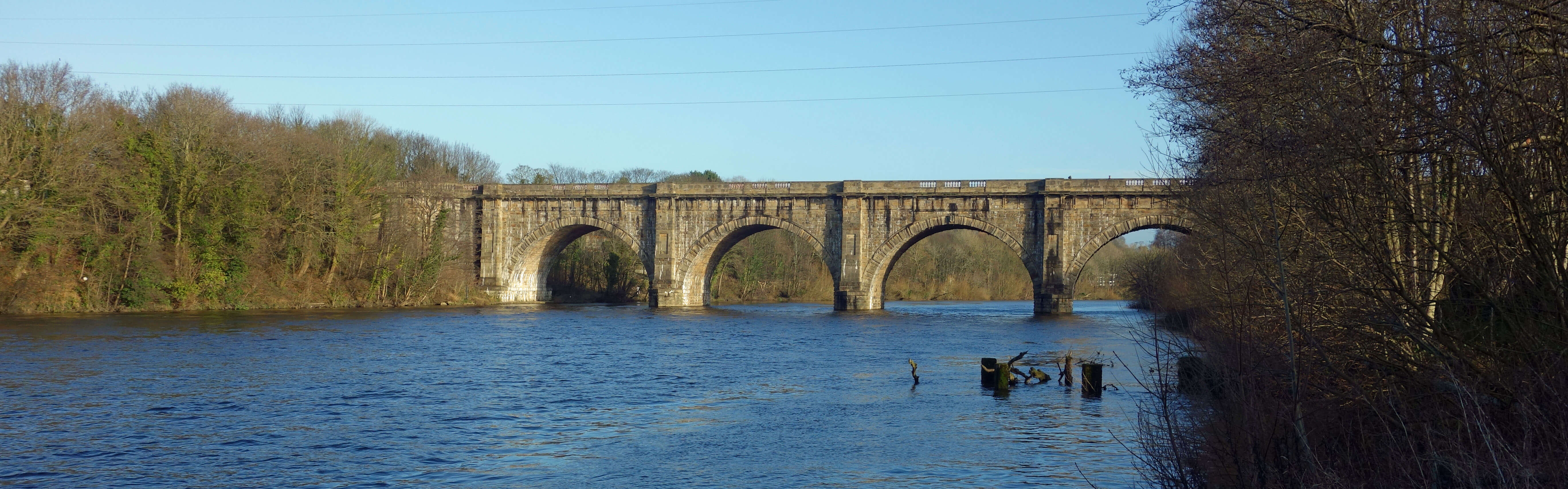
Lune Aqueduct
 The Lune Aqueduct is the most impressive structure seen along this part of the Lune. According to Hill (1997), this Aqueduct played an important part in the artistic development of J.M.W. Turner, who toured northern England in 1797 at the age of 22. He produced a number of sketches on the tour, including one of the Lune Aqueduct. This, Hill (1997) says, was “a radical departure” because “here for the first time on the tour was Turner engaged with the modern world”. He was presumably “impressed to have found a modern structure with the nobility and ambition to rival those of the medieval world”.
The Aqueduct was indeed modern, having been opened only a few months earlier in 1797. Designed by
John Rennie,
the Aqueduct has five arches, is 200 metres long and carries the canal 18 metres above
the Lune. It was undoubtedly one of the greatest civil engineering feats of the day,
and, as is traditional with great civil engineering feats, its cost far exceeded its
budget. I expect that the Aqueduct had more appeal for Turner than the present-day
equivalent, the new A683 bridge across the Lune, next to the M6 bridge, has for
today’s artists. Unfortunately, despite a major restoration of the Aqueduct in 2011-2012,
the canal is at the moment drained of water in order to repair the canal’s waterproof lining.
Turner included in his sketch of the Aqueduct a long-distance view of Lancaster Castle and Priory framed
within one arch. I haven’t been able to determine a point which provides such a view but as Turner became
Professor of Perspective at the Royal Academy I am sure that such a point must exist. Or perhaps he was making
a contrast between the old and the new. The on-line version of the
Aqueduct sketch
is rather too faint to decipher – it is better reproduced in the Hill (1997) book.
Later, in 1827, Turner painted a
view of Lancaster
from the Aqueduct itself. It shows fields, farm-workers and cattle downriver of the Aqueduct, with the Lune itself sweeping further to the left than it does now. I walked on to Lancaster but saw no fields, farm-workers or cattle. Probably they were gone within twenty years of Turner’s painting, when the railway was built here. In fact, it is a mistake to regard Turner’s painting as a factual depiction of the scene, like a photograph. He was producing a work of art and perhaps introduced the fields, farm-workers and cattle in order to contrast the rural and the urban.
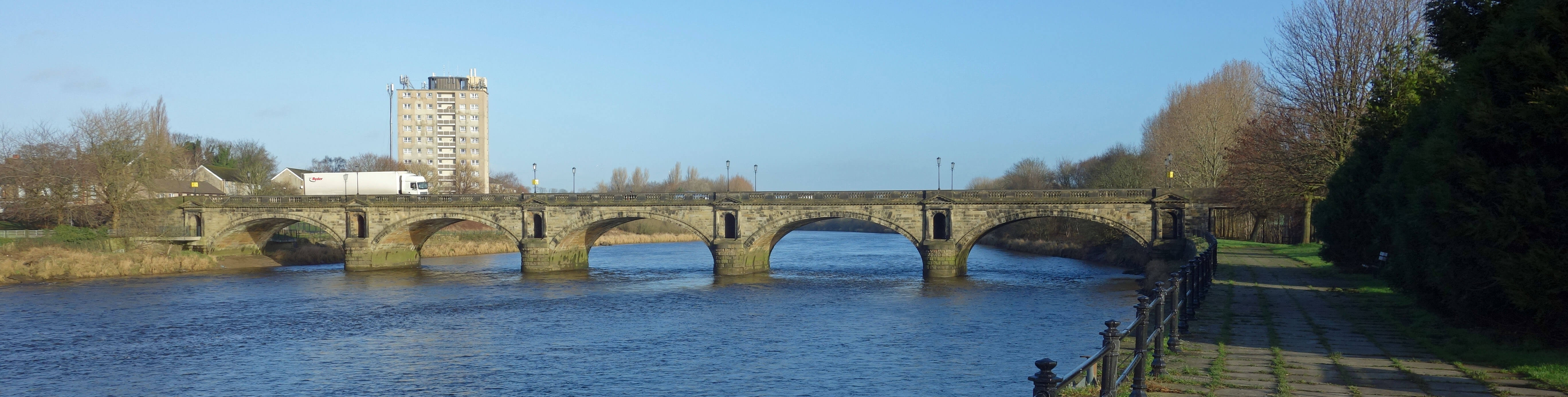
Skerton Bridge
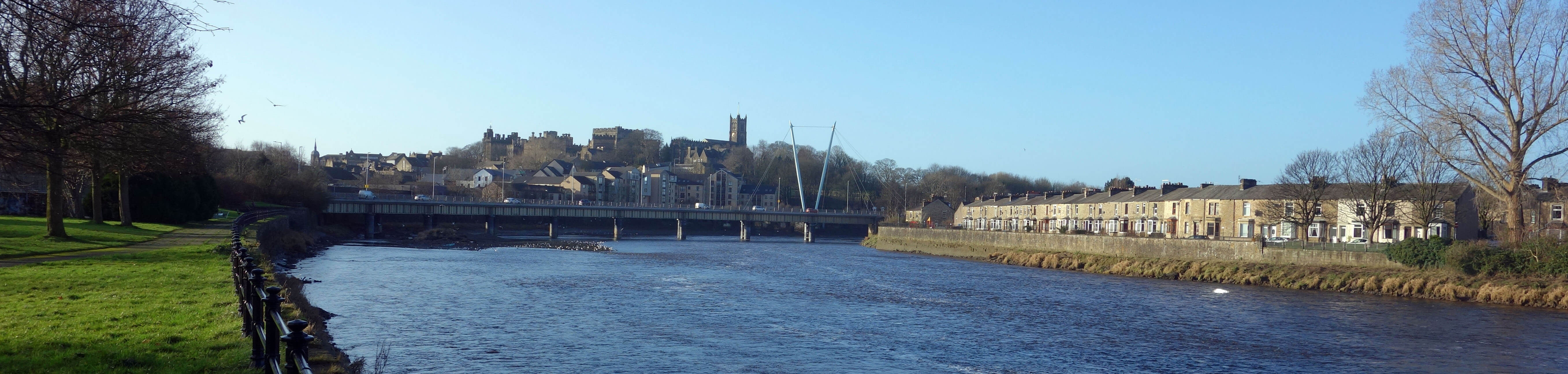
Lancaster
Date: January 12th 2020
Start: SD543644, Brookhouse (Map: OL41)
Route: (linear) N – Waterworks Bridge – SW (on north bank of Lune) –
Crook o’Lune – W, SW, S on old railway line – Lancaster
Distance: 5 miles; Ascent: 5 metres
Home
Preamble
Index
Areas
Dales
Hills
Lakes
Places
Reserves
Rivers
Structures
Villages
References
Me
© John Self, 2018-

Top photo: The western Howgills from Dillicar;
Bottom photo: Blencathra from Great Mell Fell