
Home
Preamble
Index
Areas
Dales
Hills
Lakes
Places
Reserves
Rivers
Structures
Villages
References
Me
Saunterings: Walking in North-West England
Saunterings is a set of reflections based upon walks around the counties of Cumbria, Lancashire and
North Yorkshire in North-West England
(as defined in the Preamble).
Here is a list of all Saunterings so far.
If you'd like to give a comment, correction or update (all are very welcome) or to
be notified by email when a new item is posted - please send an email to johnselfdrakkar@gmail.com.
56. Cross Fell: The Apex of England
We hear a lot about the north-south divide, which is supposed to separate wealthy, healthy
southerners from poor, poorly northerners. Some deny that it exists but a recent
survey
found that England’s twenty fattest cities (that is, cities with the highest proportion of obese people) are
all north of the Midlands. But what about the east-west divide? By this I mean the natural watershed that runs down the spine of England separating rivers that flow east to the North Sea from those that flow west to the Irish Sea and the Atlantic. That certainly exists.
I have read several descriptions of the long trek up the western slopes of Cross Fell and none of them
mentions that Cross Fell lies on this east-west divide, which I will call the
National Divide in comparison with the Continental Divide that Americans make such a
fuss of. I set off from Kirkland along a clear track that became a little less
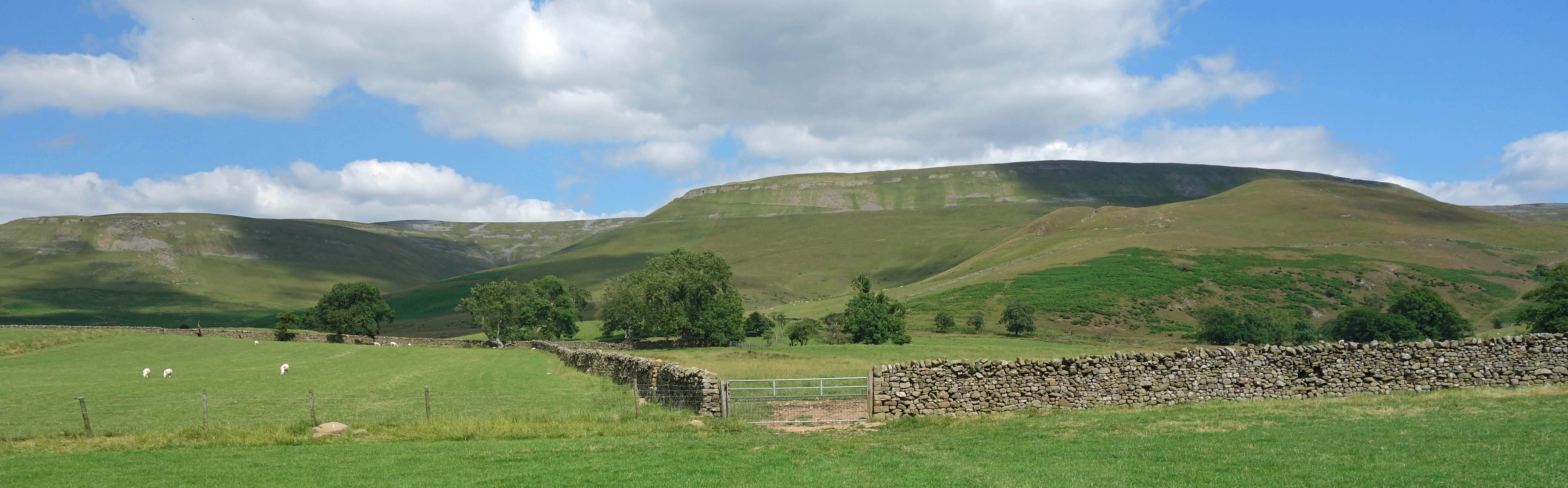
clear the further I went. It was relentless, with almost every single step uphill, although the gradient was sympathetically gentle. The views, at least, were good, of the stern Black Doors below Green Fell and back over the serene Eden valley to the extensive profile of Lake District hills. However, it was the prospect of reaching the National Divide that helped me along.
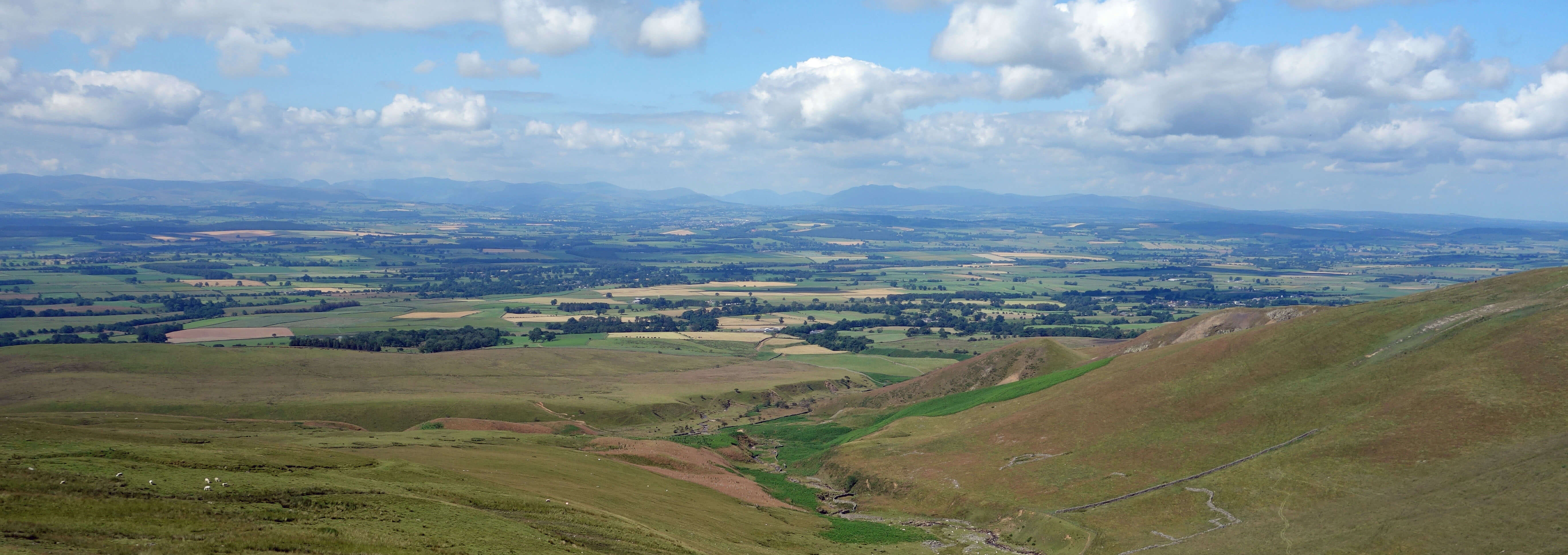
Northern Lake District across the Eden valley
I looked forward to seeing the great metropolises of Newcastle, Sunderland and Middlesbrough far to the east.
As I at last reached the watershed the view opened out, revealing distant hills to the north that I assume to
be within Scotland and far to the east, beyond the Pennine hills of the Milburn Forest, an indistinct
blue-greyness within which, I admit, I could not discern the great metropolises. Still, I could see waters
running north to contribute to the Tyne and also the headwaters of the Tees just southeast of Cross Fell
flowing towards Cow Green Reservoir. Between them the Wear arose just beyond the hills east of Cross Fell.
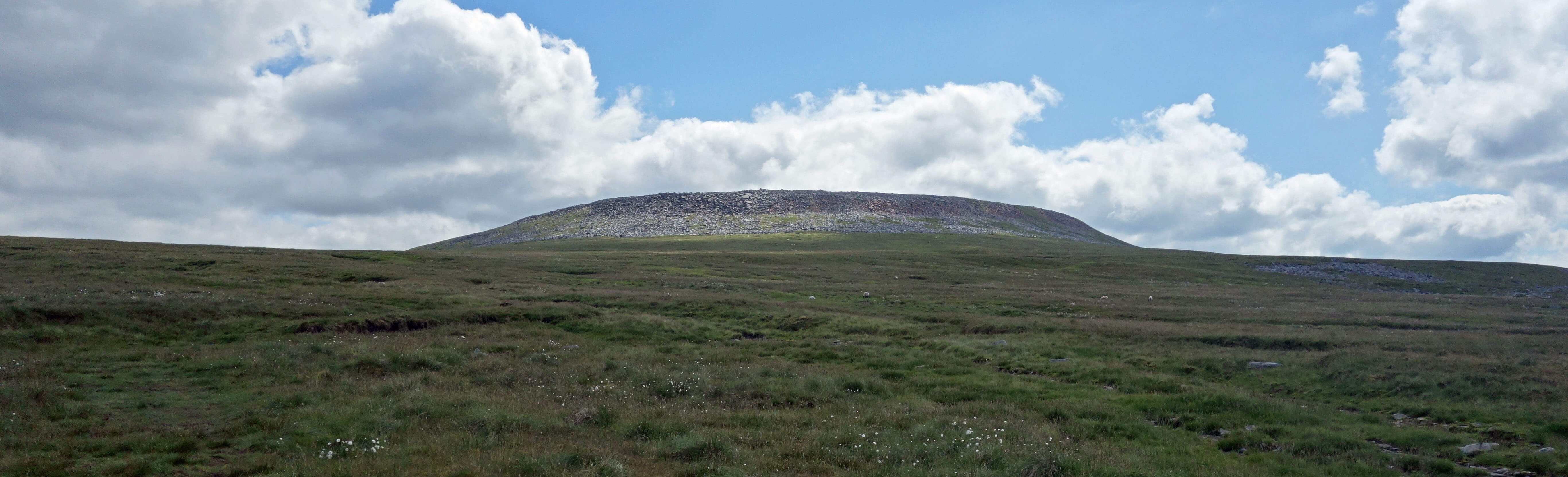
Approaching Cross Fell
Within North-West England, the National Divide continues south from Cross Fell past High Cup Nick, across Stainmore Common, over the A66 to High Greygrits, on to High Pike, across Widdale Fell to Pen-y-ghent and Fountains Fell, across the A65 near Hellifield, past Earby to Boulsworth Hill, and on to Thieveley Pike. If you walked the whole National Divide from the Scottish border to the south coast you would walk nowhere higher than Cross Fell (893m). So, from Cross Fell you can look east down to North Sea waters, west down to Atlantic waters, south down to the southern National Divide and north down to the northern National Divide. So, truly Cross Fell is the central pinnacle, the apex, of England.
However, Cross Fell seems to be not so fondly regarded. Its top is bleak and barren although it now has some impressive cairns and a fine wind shelter. I suppose many walkers reach Cross Fell as part of a Pennine Way expedition and do so in less than the ideal conditions that I had (mainly sunny, no wind, clear visibility, dry underfoot). To them another slog over peat bogs and up another slope may not appeal much. I wouldn’t like to lose my way on Cross Fell and have to tackle its peat bogs in cloud.
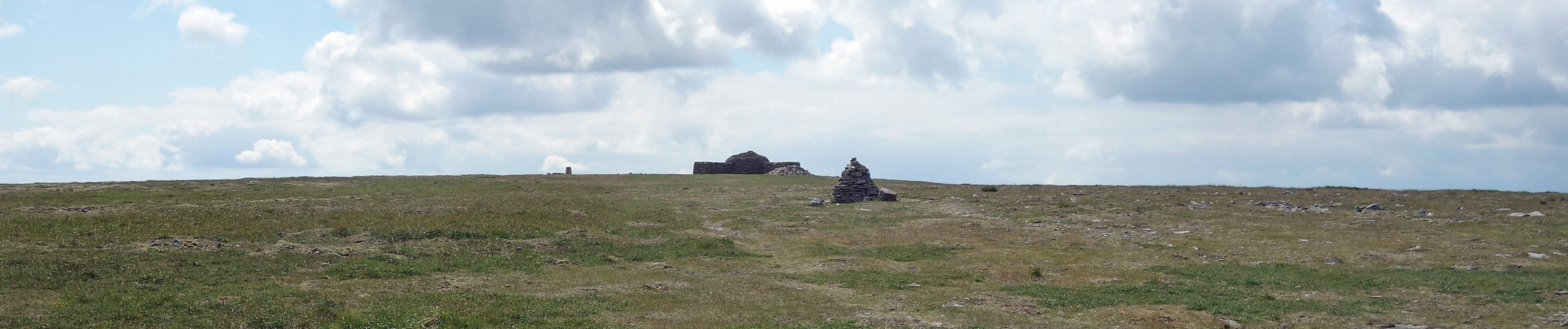
Approaching the top of Cross Fell (trig point, wind shelter and cairn)
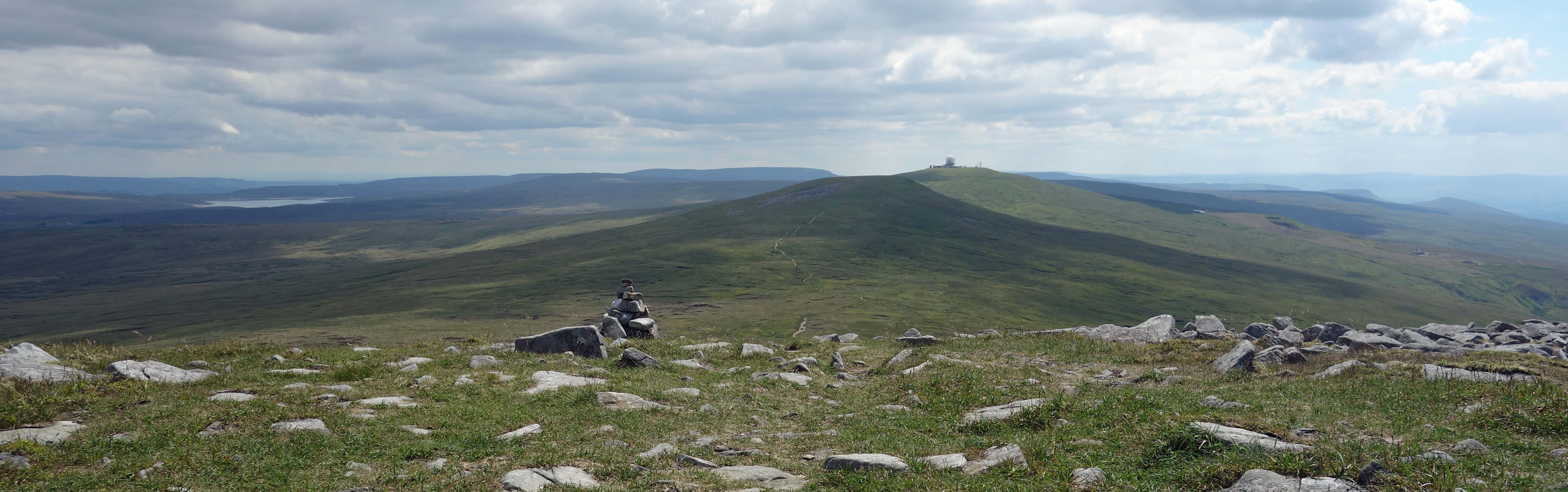
Leaving Cross Fell, looking towards Cow Green Reservoir and Great Dun Fell
As it was, I did miss the start of the bridleway south-west from near Tees Head. I didn’t mind, as it was
good to wander free on the dry grassy slopes with occasional rocky outcrops, and I had the marvellous view of the Eden valley and of the Lake District hills ahead of me, with the white dome of Great Dun Fell and the pointed tops of Knock Pike and Dufton Pike off to the left. I eventually spotted the small cairns that mark the bridleway, and then cantered down, across the flank of Wildboar Scar and past Grumply Hill, although the hot day made it seem further than I had hoped.
Finally, I should say a word about the Hanging Walls of Mark Anthony, which the Ordnance Survey
marks on the map south of Kirkland. A word is more than they deserve. It is a pity that the Trades Description Act
doesn’t apply to such names. There are no walls, hanging or otherwise, and I don’t believe anybody has ever said
that Mark Anthony had anything to do with them, if there were. Instead there are a few medieval terraces much like
those seen in many other places. There is a theory that the OS has plonked the name in the wrong place – in which case,
I will keep a look out on my saunters for hanging walls (whatever they are) that have lost their name.
Kirkland Fell (below Cross Fell) from near the so-called Hanging Walls of Mark Anthony
Date: July 15th 2019
Start: NY645325, by Kirkland church (Map: OL31)
Route: E – Kirkland Hall – NE – (a little after) Curricks – S – Cross Fell
– SE – (a little before) bridleway above Crowdundle Head – SW – Wildboar Scar – S, W past Grumply Hill – Wythwaite – N –
Kirkland Hall – W – church
Distance: 9 miles; Ascent: 695 metres
Home
Preamble
Index
Areas
Dales
Hills
Lakes
Places
Reserves
Rivers
Structures
Villages
References
Me
© John Self, 2018-

Top photo: The western Howgills from Dillicar;
Bottom photo: Blencathra from Great Mell Fell