
Home Preamble Index Areas Dales Hills Lakes Places Reserves Rivers Structures Villages References Me
 Right: Wild Boar Fell from the south (photo taken on a different occasion, obviously).
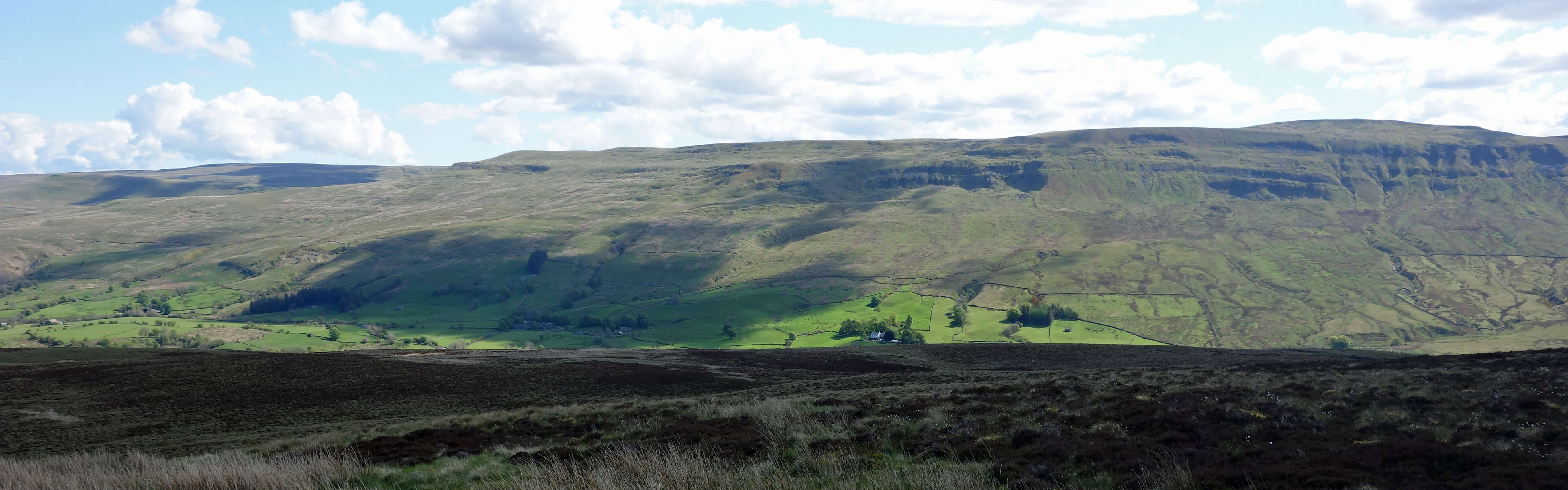
Across Mallerstang from Wharton Fell
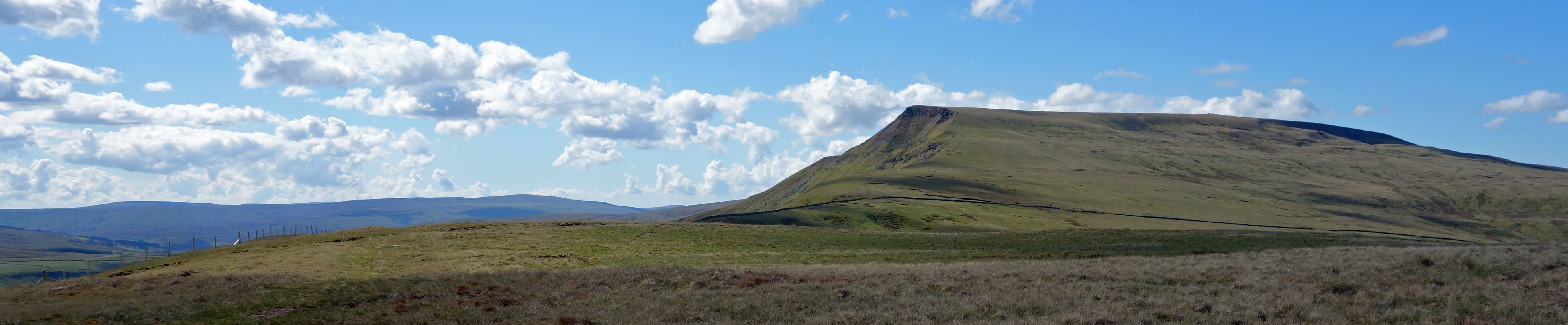
The Nab from Wharton Fell
It is a relatively new phenomenon to regard the reaching of a top to be the raison d’ętre of a hill-walk. Wordsworth, great walker though he was, did not fuss much about getting to the tops. However, it must have been the fashion to walk to the Lake District mountain tops when Payn (1859) offered this advice:“Unless you have plenty of time to spare for seeing natural beauties … upon no account waste any of it in ascending a very high mountain. The fatigue, to persons of average strength and ordinary habits, is in much over-proportion to the advantage in any case, while, in nine cases (at least) out of ten, in this part of the country a day sufficiently clear for seeing any great extent of prospect does not occur.”Later guides to the Lake District, such as Baddeley (1880, 1922) and Palmer (1930), still kept mountain-walking in perspective, with both filling over 200 pages before they began to discuss walking up the hills.
“When we walk or climb up a mountain we traverse not only the actual terrain of the hillside but also the metaphysical territories of struggle and achievement. To reach a summit is very palpably to have triumphed over adversity: to have conquered something, albeit something utterly useless.”Reaching a top has become the climax, the point above and beyond which it is impossible to go and after which one can only subside. However, a climax isn’t everything and it isn’t even necessary for an activity to be enjoyable. That reminds me of something but I can’t quite put my finger on it. In any case, to reach our North-West England summits is not that great a triumph. We can walk up any of them before lunch.
Mallerstang
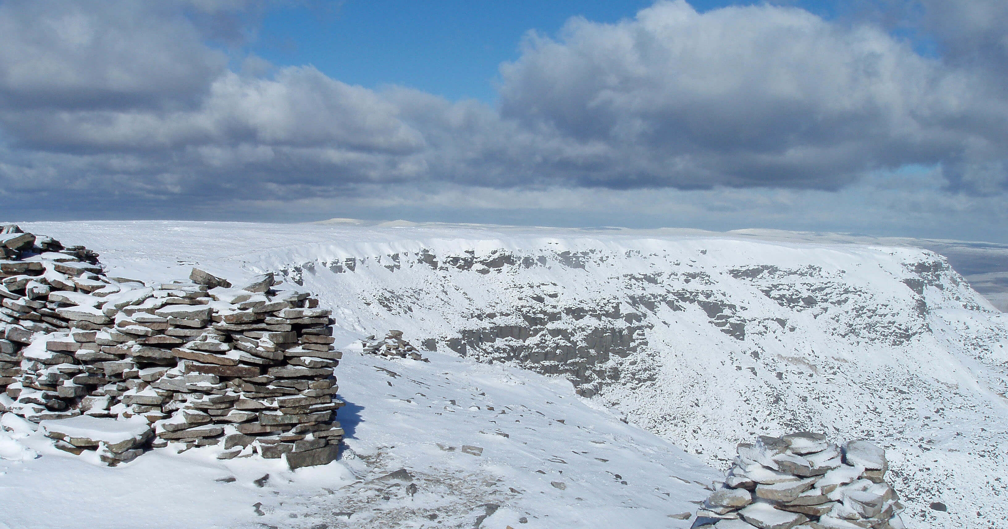
At Low Dolphinsty I turned aside from the ascent route in order to contour below the cliffs that face eastward over Mallerstang. In the past I had always approached Wild Boar Fell from the west, south and north (mainly because of where I live) but the most dramatic and challenging slopes of Wild Boar Fell are to the east, overlooking the Eden valley. I have never really looked at them – and neither, it seems, have those on-line walkers. These eastern slopes are now all open access and yet hardly anybody walks here. I continued until I was below the many cairns above Yoadcomb Scar and then dropped down, passing but not pausing to investigate the Angerholme Pots, to Angerholme Wold. I was struck by how much it is The Nab, rather than the Wild Boar Fell top itself, that dominates Mallerstang. It stands like a proud sentinel overlooking its valley, being visible from almost everywhere within it.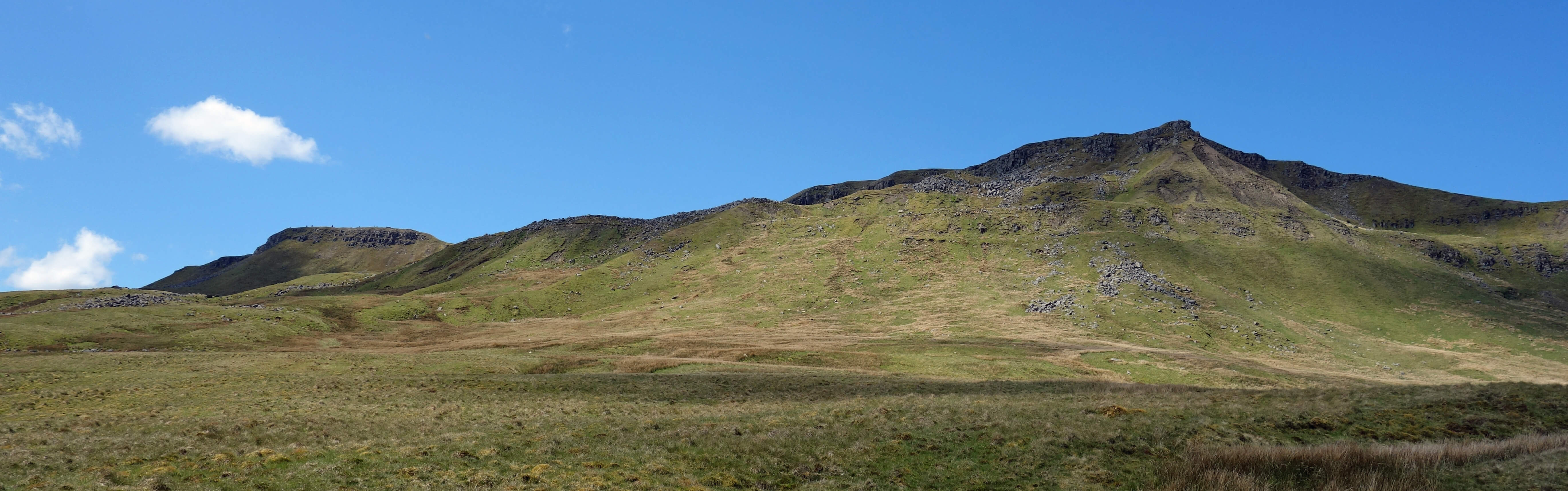
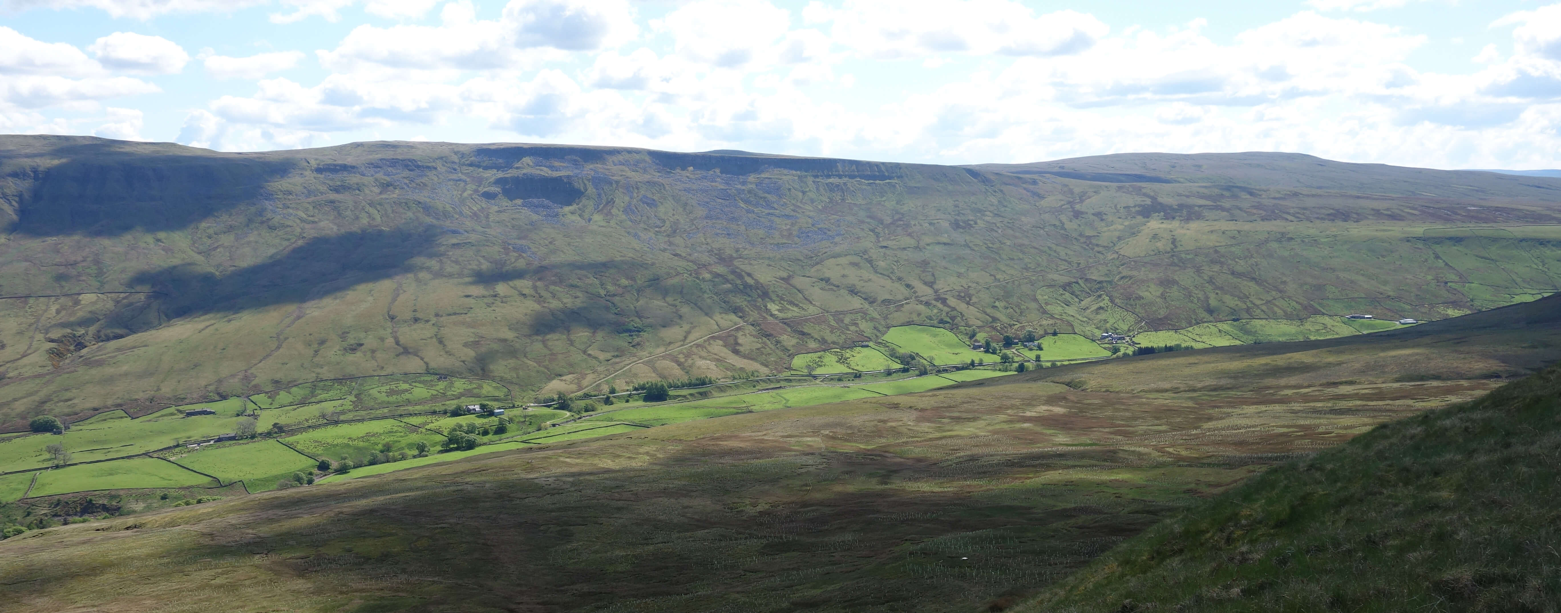
Wild Boar Fell and The Nab
I then walked north between the railway line and the infant River Eden. This path eventually becomes part of Lady Anne’s Way, a 100-mile path between Skipton and Penrith that follows a route between Lady Anne Clifford’s Skipton Castle and Brougham Castle. In Mallerstang it passes another of her castles, Pendragon. What a fine name for a castle! According to legend, the castle was built by Uther Pendragon, father of King Arthur. Whatever the truth of that, it cannot be denied that it is a splendid location, as I appreciated whilst I sat for a snack on the castle mound admiring the view south along Mallerstang. It was rather blissful and then, to cap it all, I heard the call of a cuckoo wafting down from the hills. I reflected that cuckoos have been returning to Mallerstang every year since Pendragon built his castle. It would be sad indeed if we so ruined the world that we no longer heard them.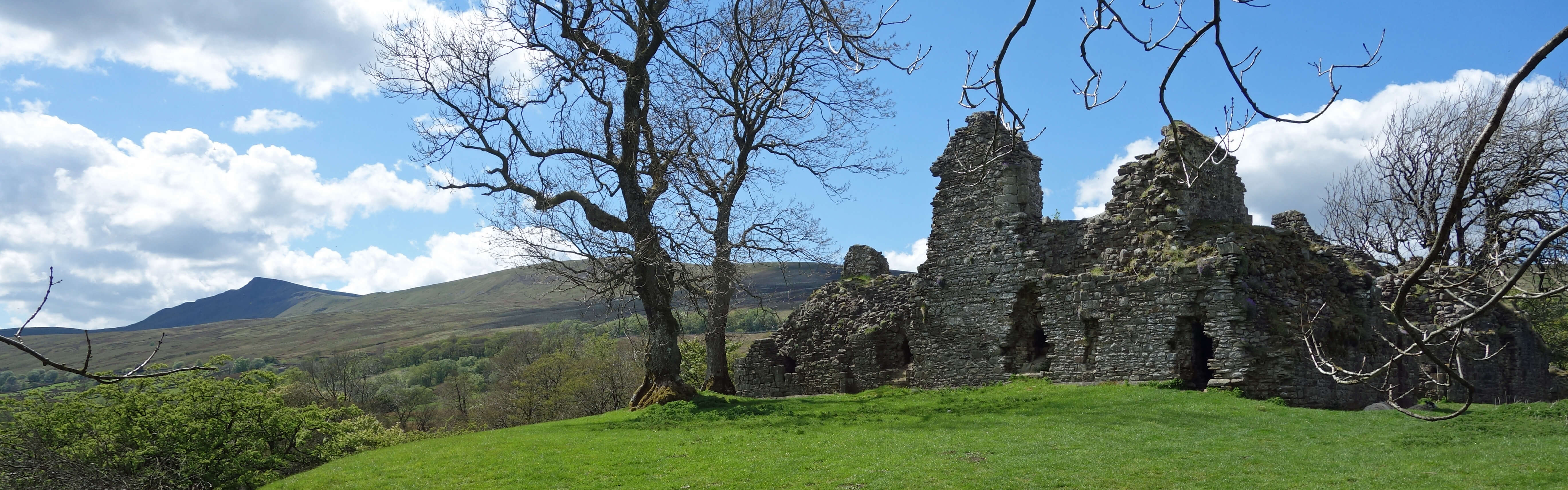
Pendragon Castle
As I walked up the road that crosses Birkett Common I became gradually closer to the sound of the cuckoo. It seemed to be emanating from a copse by the railway line. I was tempted to walk closer in the hope of spotting him. But I thought better of it – he deserves not to be disturbed after all his efforts to get here. Back at the van I was relieved to find that its wing-mirrors were intact.
Home Preamble Index Areas Dales Hills Lakes Places Reserves Rivers Structures Villages References Me
© John Self, 2018-

Top photo: The western Howgills from Dillicar; Bottom photo: Blencathra from Great Mell Fell