
Home
Preamble
Index
Areas
Dales
Hills
Lakes
Places
Reserves
Rivers
Structures
Villages
References
Me
Saunterings: Walking in North-West England
Saunterings is a set of reflections based upon walks around the counties of Cumbria, Lancashire and
North Yorkshire in North-West England
(as defined in the Preamble).
Here is a list of all Saunterings so far.
If you'd like to give a comment, correction or update (all are very welcome) or to
be notified by email when a new item is posted - please send an email to johnselfdrakkar@gmail.com.
25. Mysterious Harkerside Moor
Even experts find the structures on Harkerside Moor mysterious so what chance have I got? A walk
up to have a look at them at least promises fine views of Swaledale, and I can certainly appreciate those.
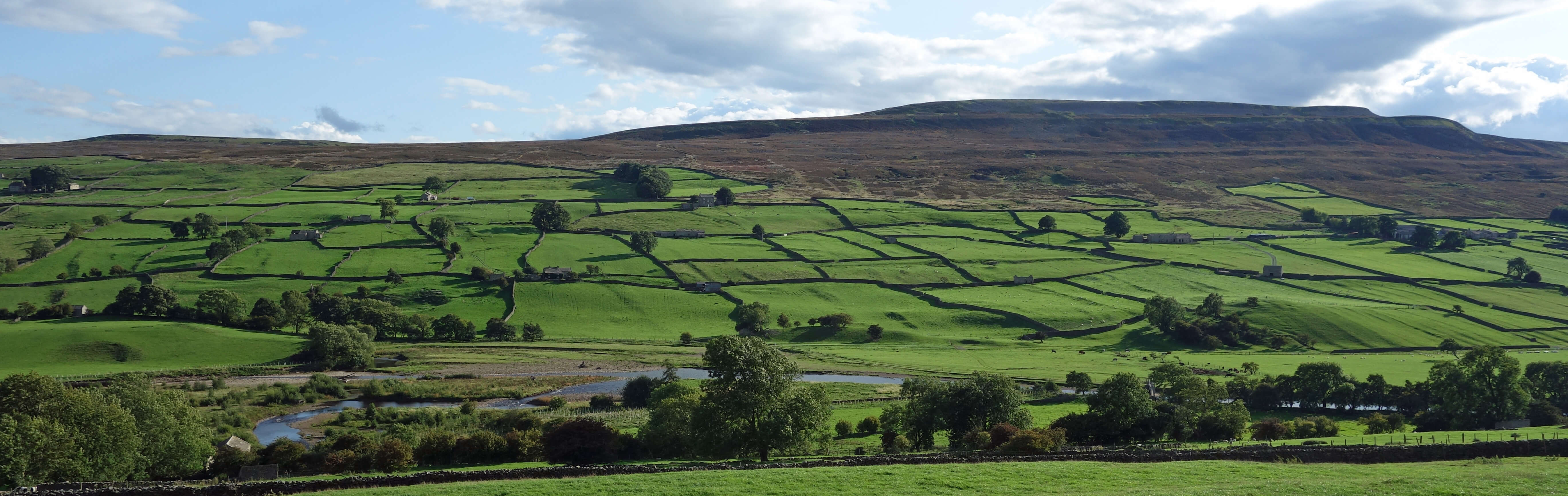
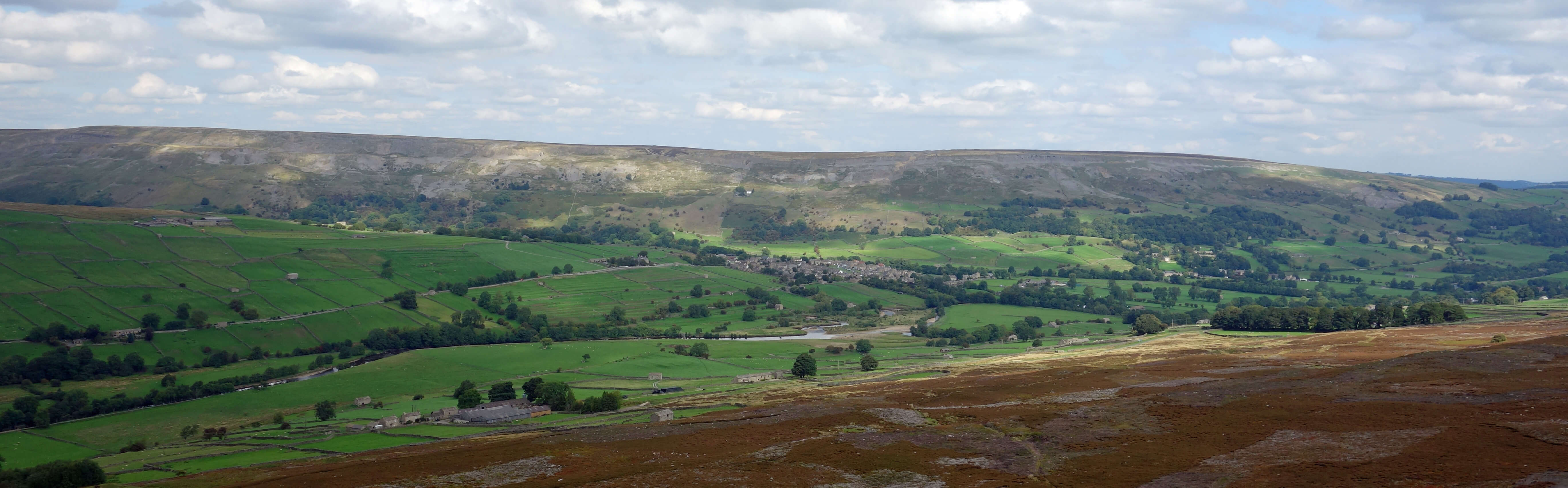
Harkerside Moor from Reeth
We crossed the River Swale by the
Reeth suspension bridge, built in 2002 to replace its predecessor washed away in a flood, to head for
Maiden Castle. Experts don’t seem to agree
on much about Maiden Castle – but most think that it was not a castle, although the Ordnance Survey marks it as an
ancient fort. Being half way up a slope, it seems unlikely to have had a defensive purpose as it would have been easy to attack
from the upper side. The structure is tadpole-shaped, with a roughly oval head about 100 metres long surrounded by a
ditch two or three metres deep and with a 100 metre long tail formed by an avenue east of two lines of stones, about
six metres apart, that experts
assume to have been walls. There’s a large mound at the end of the avenue but that may have not been part of the original
structure. I don’t know if this Maiden Castle has been definitively dated but it seems to be assumed to be of Iron Age. The distinctive avenue is enigmatic and the overall function of the structure remains unclear. Whatever it was for, it certainly took some work to build it.
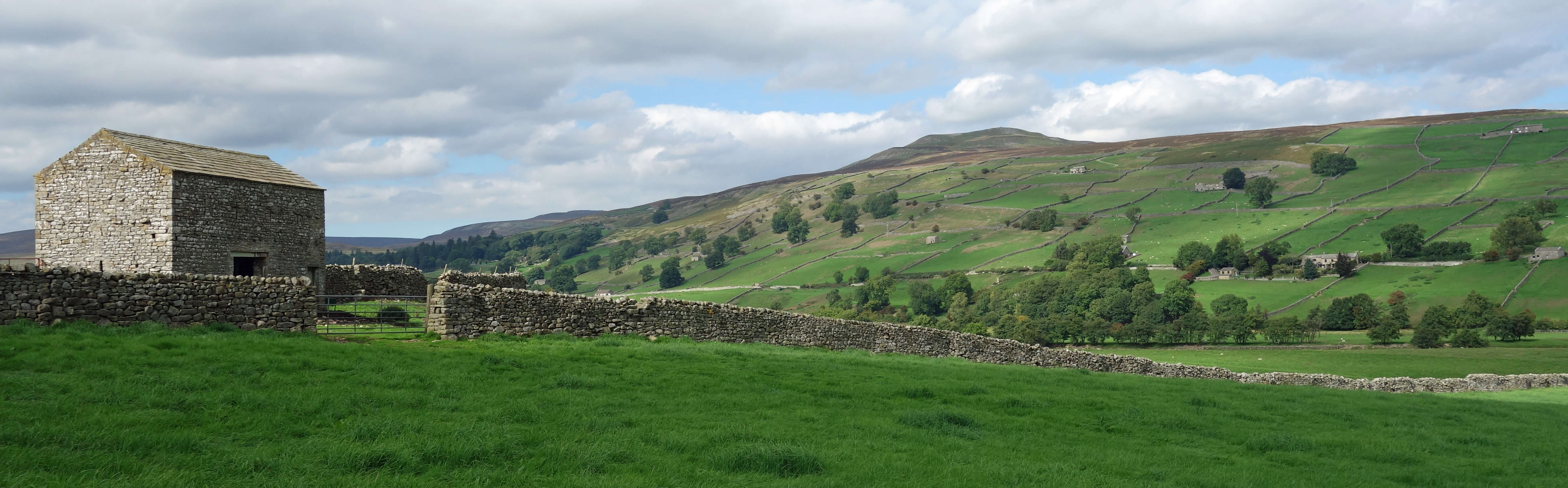
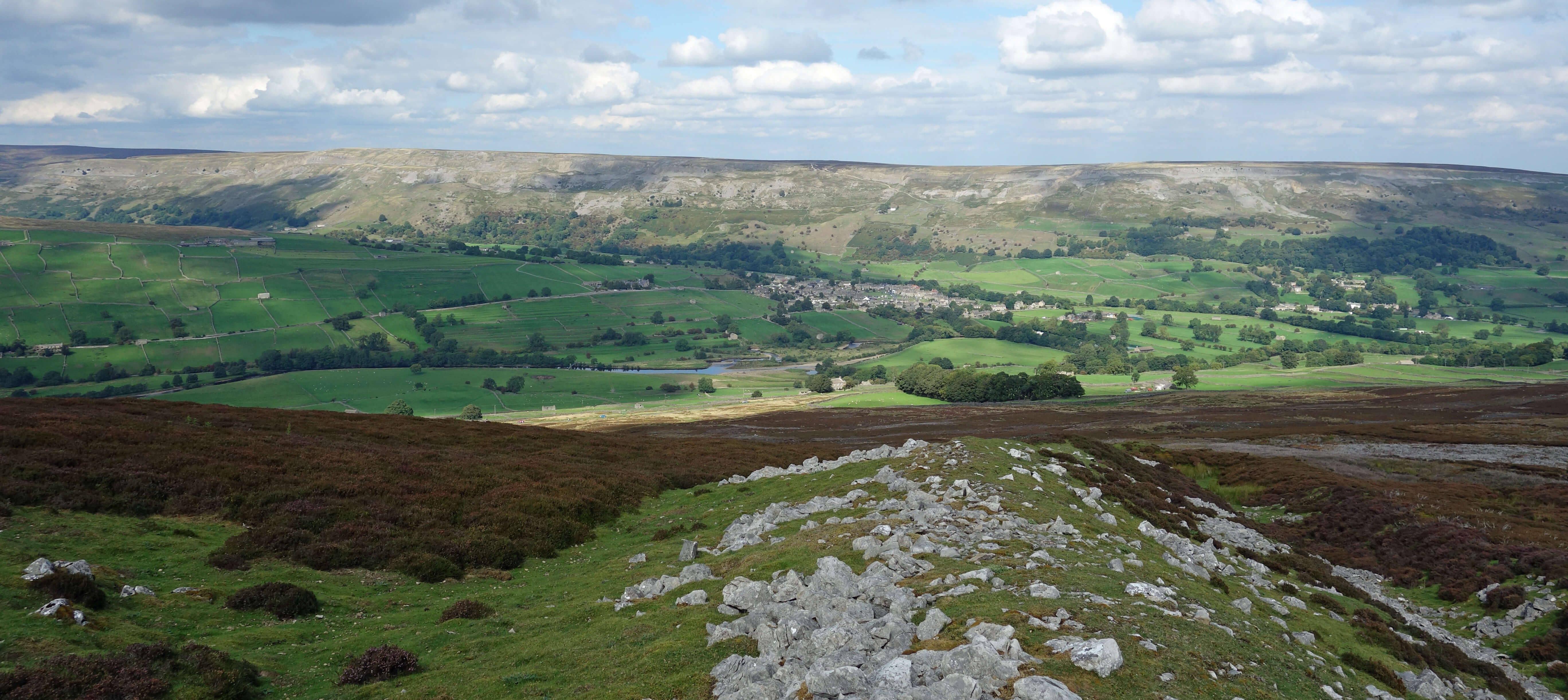
Calver Hill from near Harkerside Place
Left: Maiden Castle in the foreground (the line of the
two walls can just be discerned;
Right: At Maiden Castle, with
the lines of the walls ahead.
We walked up to High Harker Hill to admire the views across to Calver Hill and Fremington
Edge, with Reeth neatly embosomed between them. The relatively flat lower grazing fields
for sheep and cattle were of a deep green. Swaledale may be claimed to be the ‘best’ of
the Yorkshire Dales in many respects but nobody can deny that it is the greenest.
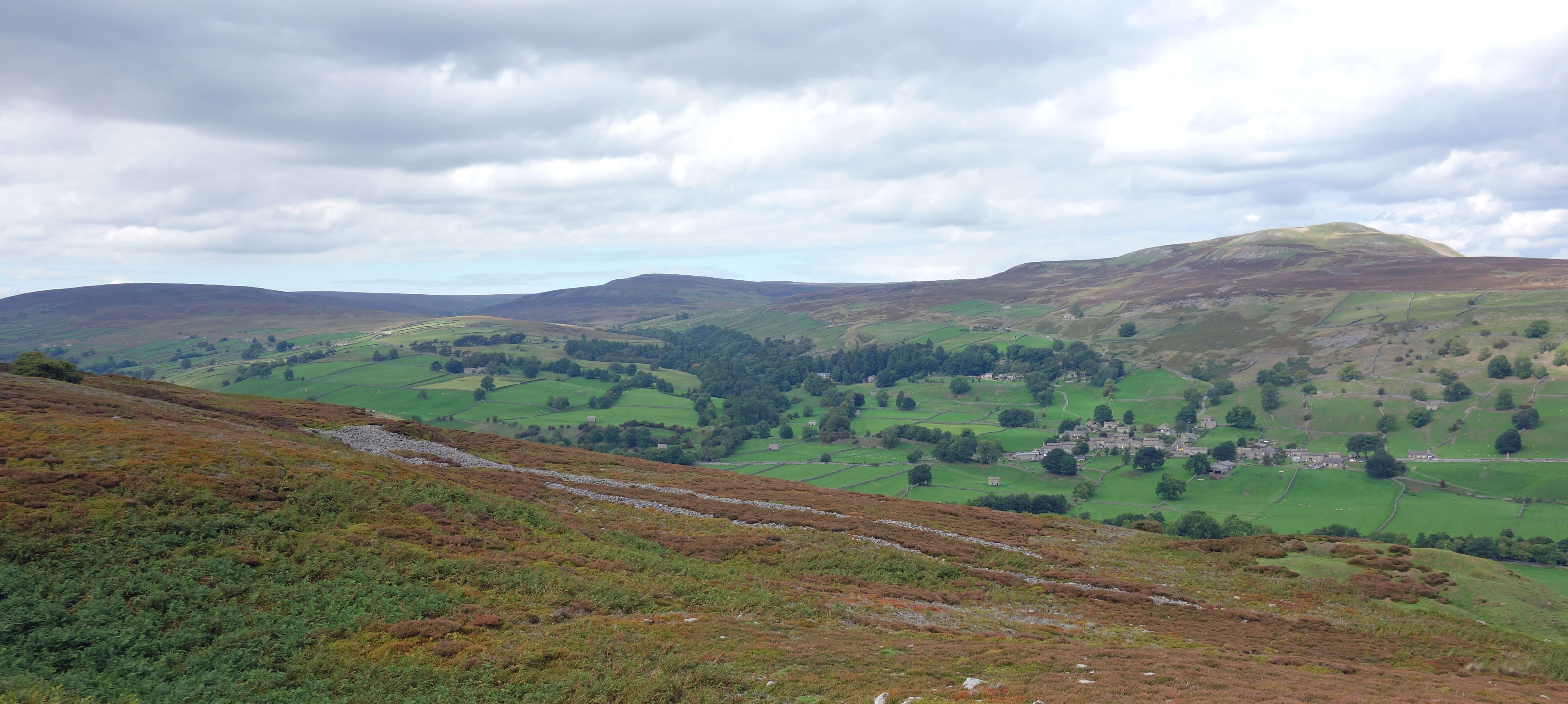
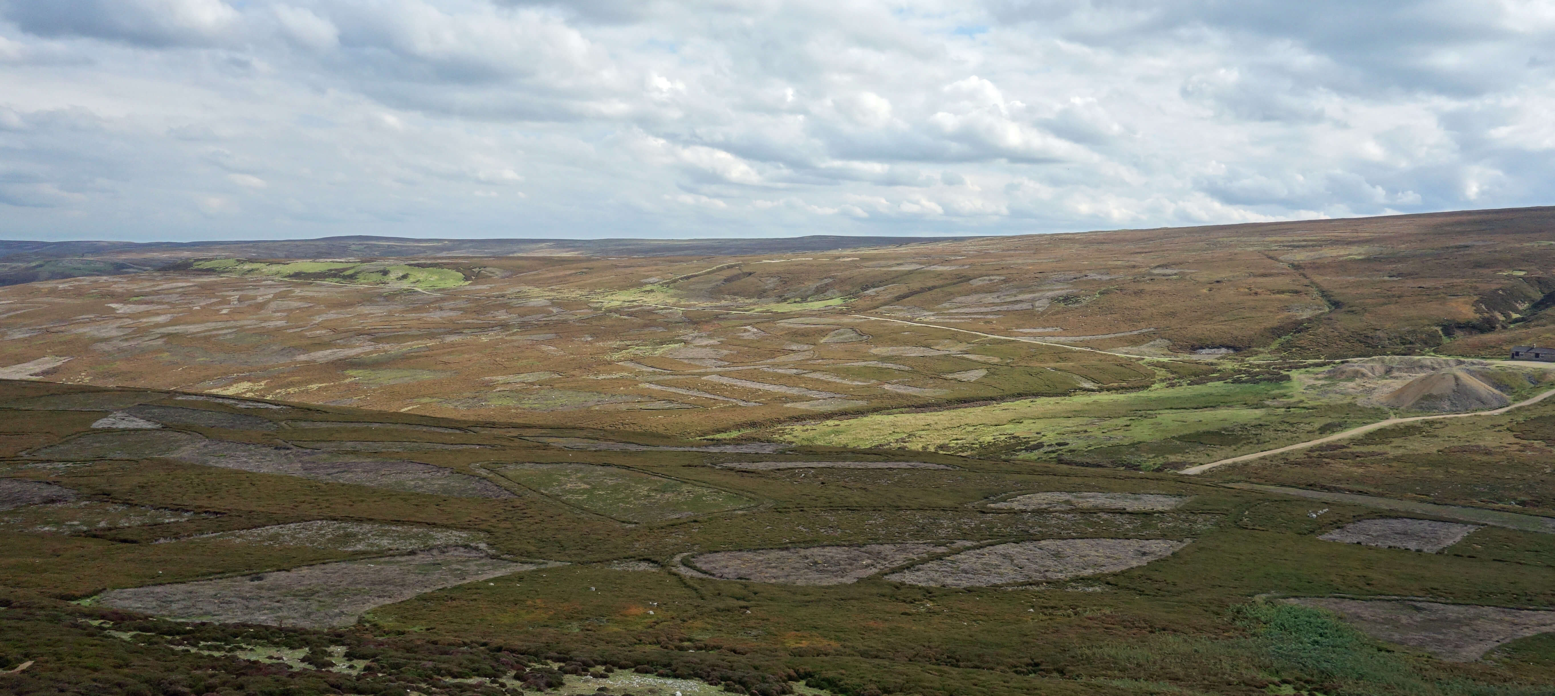
We wandered east to find the Long Scar dyke. This massive earthwork runs for a mile or so and consists of a deep ditch and a rampart built along a natural slope. It may be Iron Age too and was presumably built for defensive purposes.
Fremington Edge and Reeth from Harkerside Moor
Left: On Long Scar,
looking towards Reeth;
Right: The burnt patchwork of moor from Long Scar.
Next we came across a most peculiar structure. It consisted of a line of small circular enclosures, of more recent vintage I would say than the castle and dyke. The enclosures were too small to be for animals. Perhaps they were observation posts, where sentries could look out for invading forces. Those forces must have been formidable to warrant such defences. The miles of surrounding scorched earth may be evidence of previous battles – or perhaps was intended to improve the view of the sentries. Today the enclosures provide privacy for anyone caught short on these open moors, and I always avail myself of the opportunity if I can.
We then headed north-east towards what is marked on the map as an ancient hut circle, although some consider it to be a stone circle. The proliferation of new paths made it hard to follow the paths and bridleways marked on the OS map, and various old mining remains didn’t help matters. In short, we became a little lost and didn’t manage to locate any circle. There were many white stones lying about haphazardly, some even fortuitously forming a sort of circle, if you were being generous.
Perhaps it is better not to worry our heads about these mysteries and to
just enjoy the scenery. Everywhere you look on the map there’s something to
provoke the inquisitive. John Moss’s Chair? Blue Ball? Nanny
Ward’s Well? Wildgoose Trials? Jabz Cave? What do they
all mean? At least I can have a
stab at the derivation of the name of the prominent White House on the slopes of Fremington Edge.
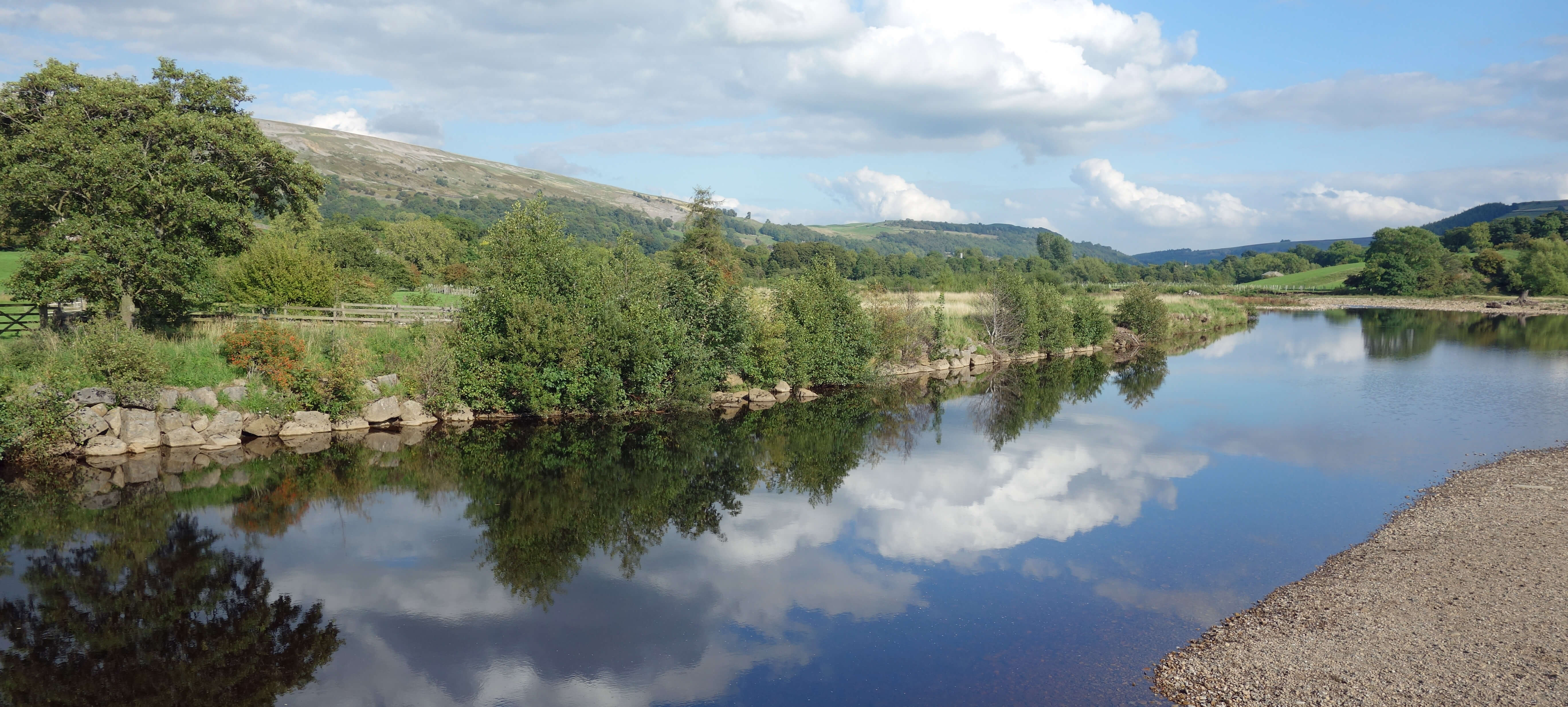
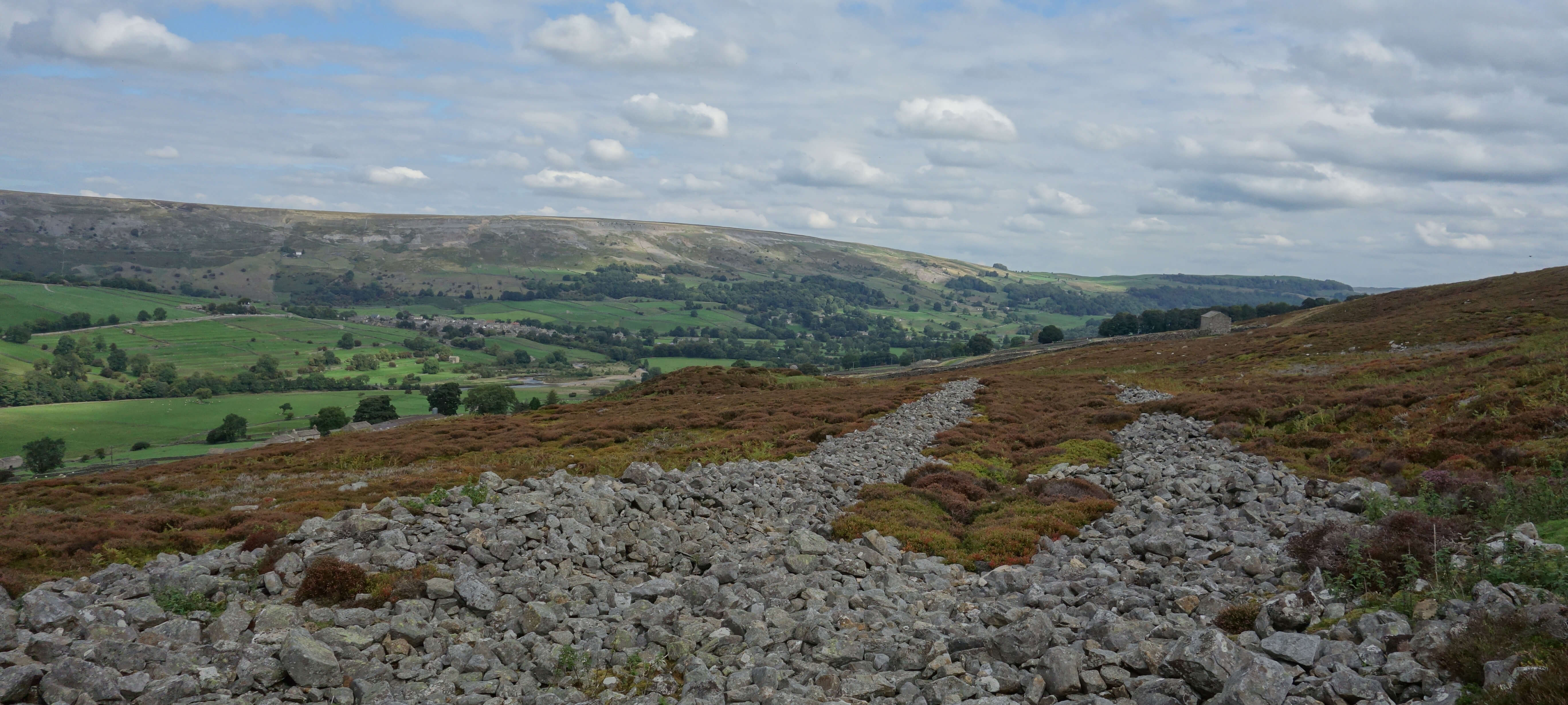
The River Swale at Reeth
Date: September 5th 2018
Start: SE034993, by Reeth School (Map: OL30)
Route: SE, SW (over bridge) – Harkerside Place – S, W –
Maiden Castle – E, SW – High Harker Hill – E – Long Scar, Grovebeck Gill – NW, N – Bleak House – N – bridge
– NE, NW – Reeth School
Distance: 6 miles; Ascent: 285 metres
164(+917)/2250
Home
Preamble
Index
Areas
Dales
Hills
Lakes
Places
Reserves
Rivers
Structures
Villages
References
Me
© John Self, 2018-

Top photo: The western Howgills from Dillicar;
Bottom photo: Blencathra from Great Mell Fell