
Home Preamble Index Areas References Me
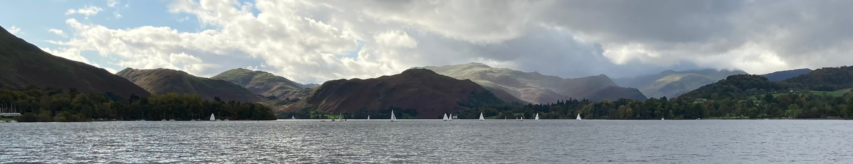
Leaving Pooley Bridge, looking up Ullswater
We took the steamer from Pooley Bridge. We must still retain some of our youthful enthusiasm because we eagerly sat at the prow, for the best views, and despite the cool wind generated by the steamerÆs motion and the occasional spots of rain we sat there for the whole hour of the journey. Other passengers came out for a few minutes and then retreated inside.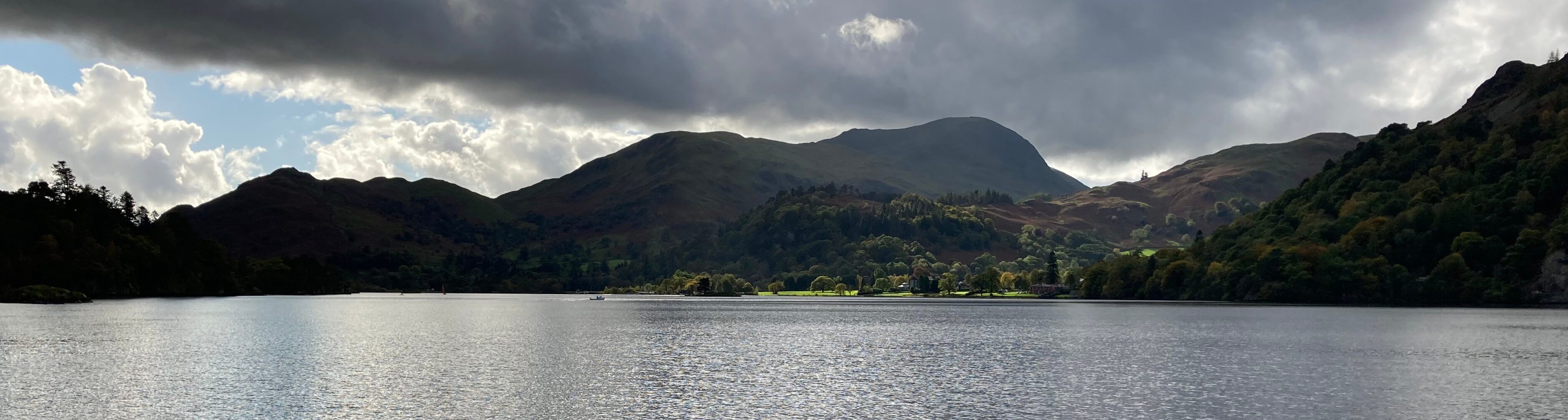
Approaching Glenridding
After disembarking at Glenridding, we followed the Ullswater Way which proceeds north on one or other side of the A592 and occasionally on it. It is certainly a bold attempt to make the three miles to Aira Force an enjoyable walk. There were, of course, many excellent views over the lake while we weaved our way through the autumn-coloured trees by the gently-lapping waters of the lake but one is rarely unaware of the nearby traffic.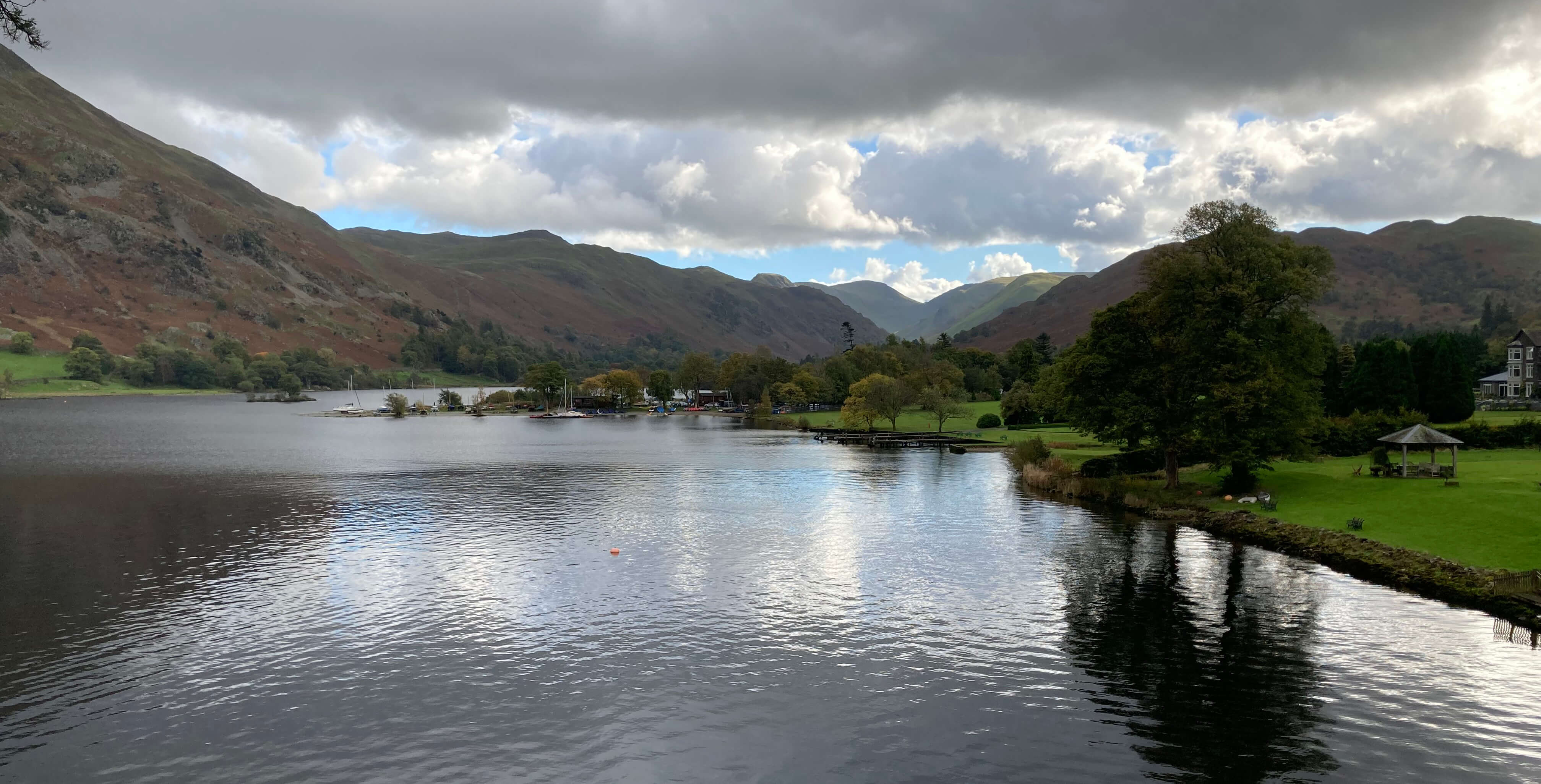
From our picnic spot, just north of Glenridding
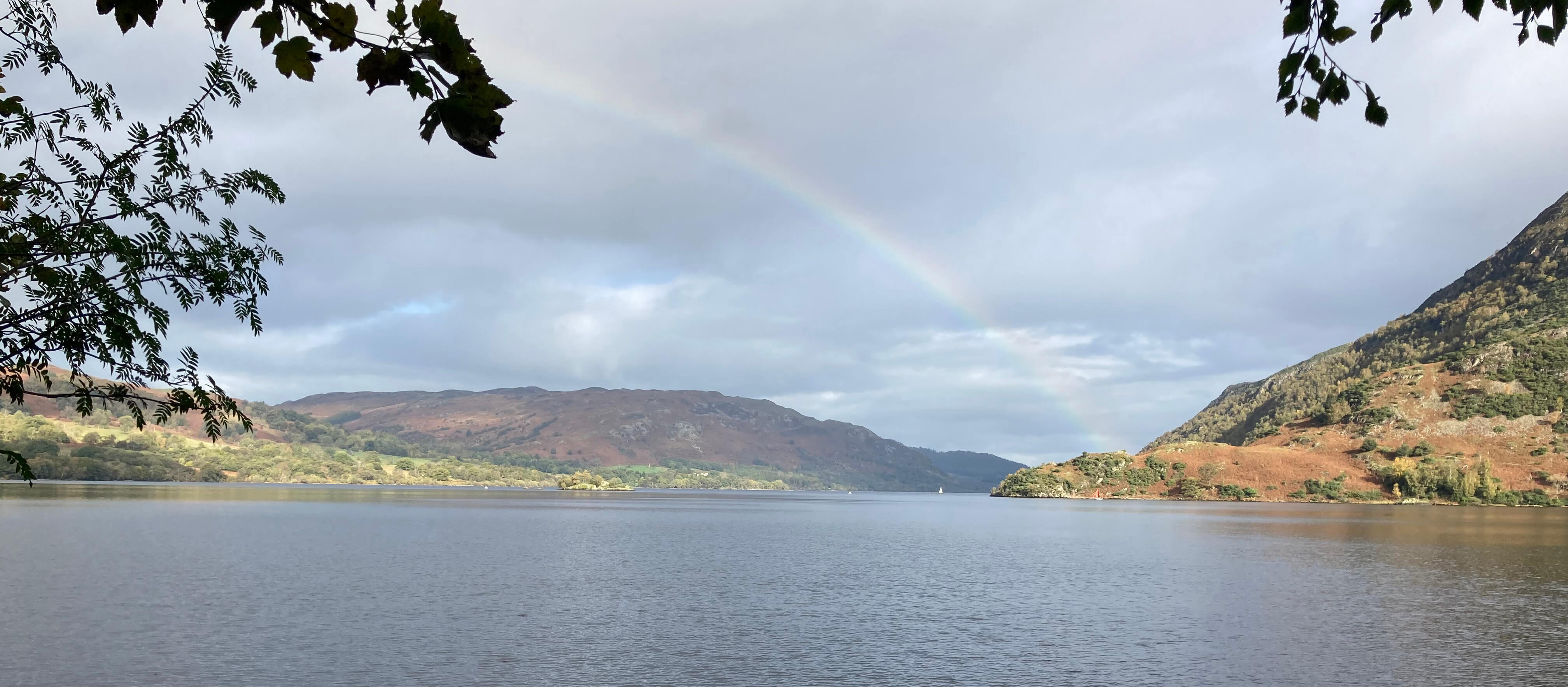
Looking down Ullswater
Aira Force is usually rated the best Lake District waterfall but that may be because itÆs the most convenient for visitors. ThereÆs now a large car-park plus tea-room, and always numbers of people walking up and over the Waterfall Bridge. The main waterfall drops about twenty metres below a pretty stone footbridge. With its surroundings it is, of course, a charming scene, regardless of any comparison with other Lake District waterfalls.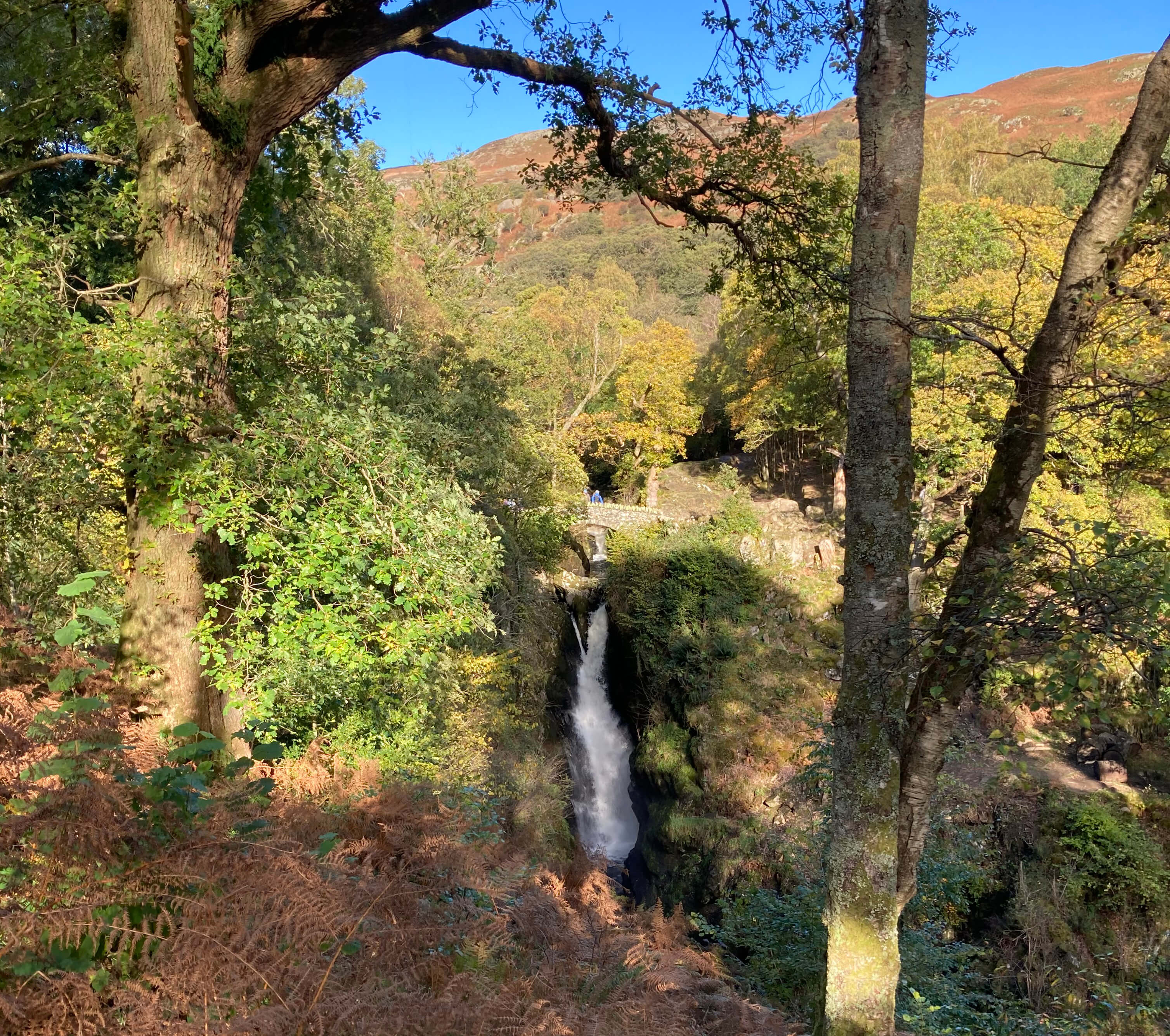
Aira Force, from a distance (the bridge with a person upon it is in the middle)
From Aira Force the Ullswater Way offers a choice û over Gowbarrow Fell (481 metres) or along a path on its eastern flank, overlooking the lake and traversing above the incongruous-looking (to me) LyulphÆs Tower. We opted for the latter, and there really were superb views over the lake, with Place Fell and Hallin Fell prominent opposite descending steeply to the lakeÆs edge. This stretch is really the only piece of typical Lake District walking on the western half of the Ullswater Way. It seemed longer than shown on the map û or at least we took longer over it than we might have expected.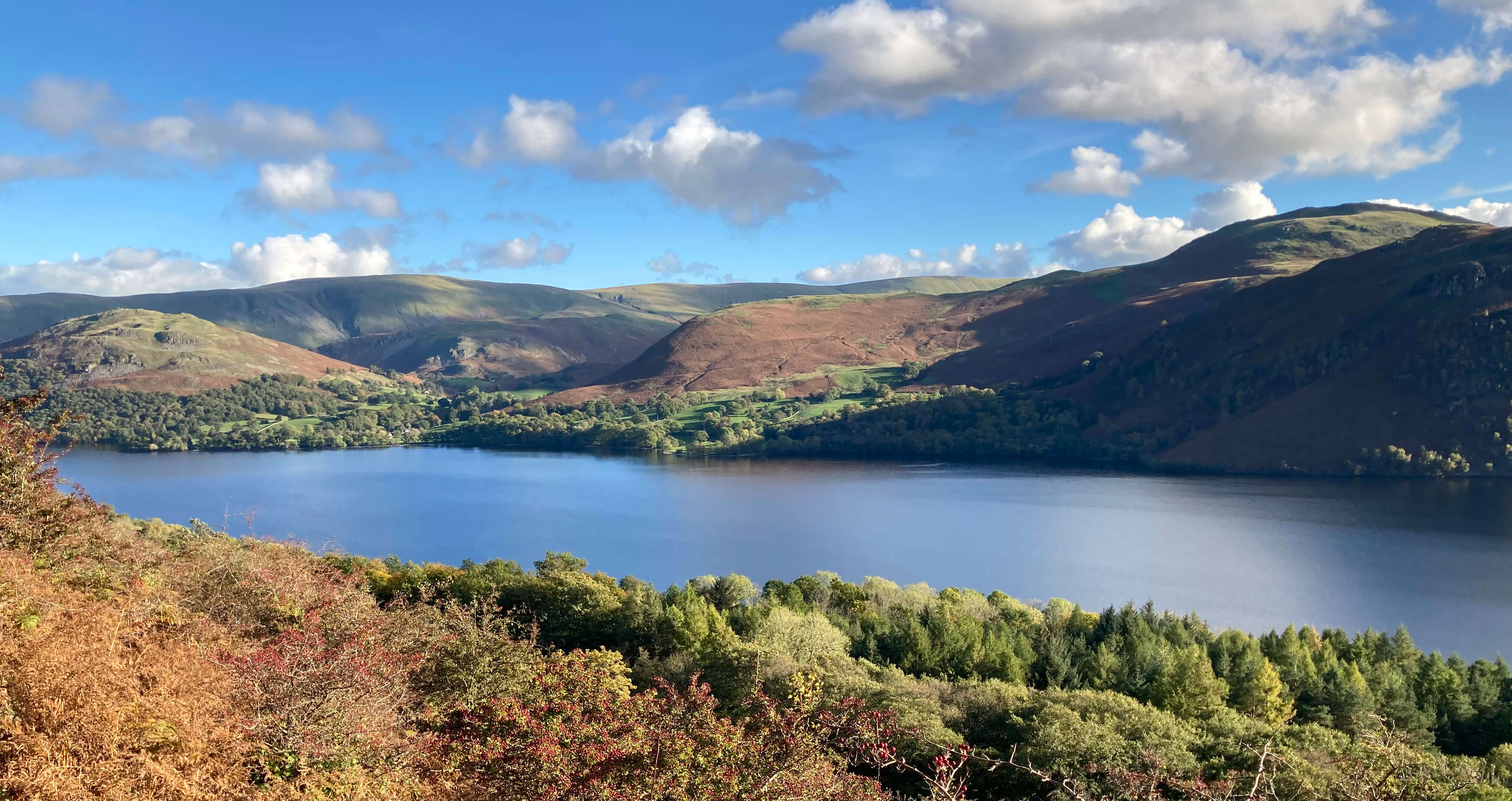
Ullswater from the Gowbarrow Fell path
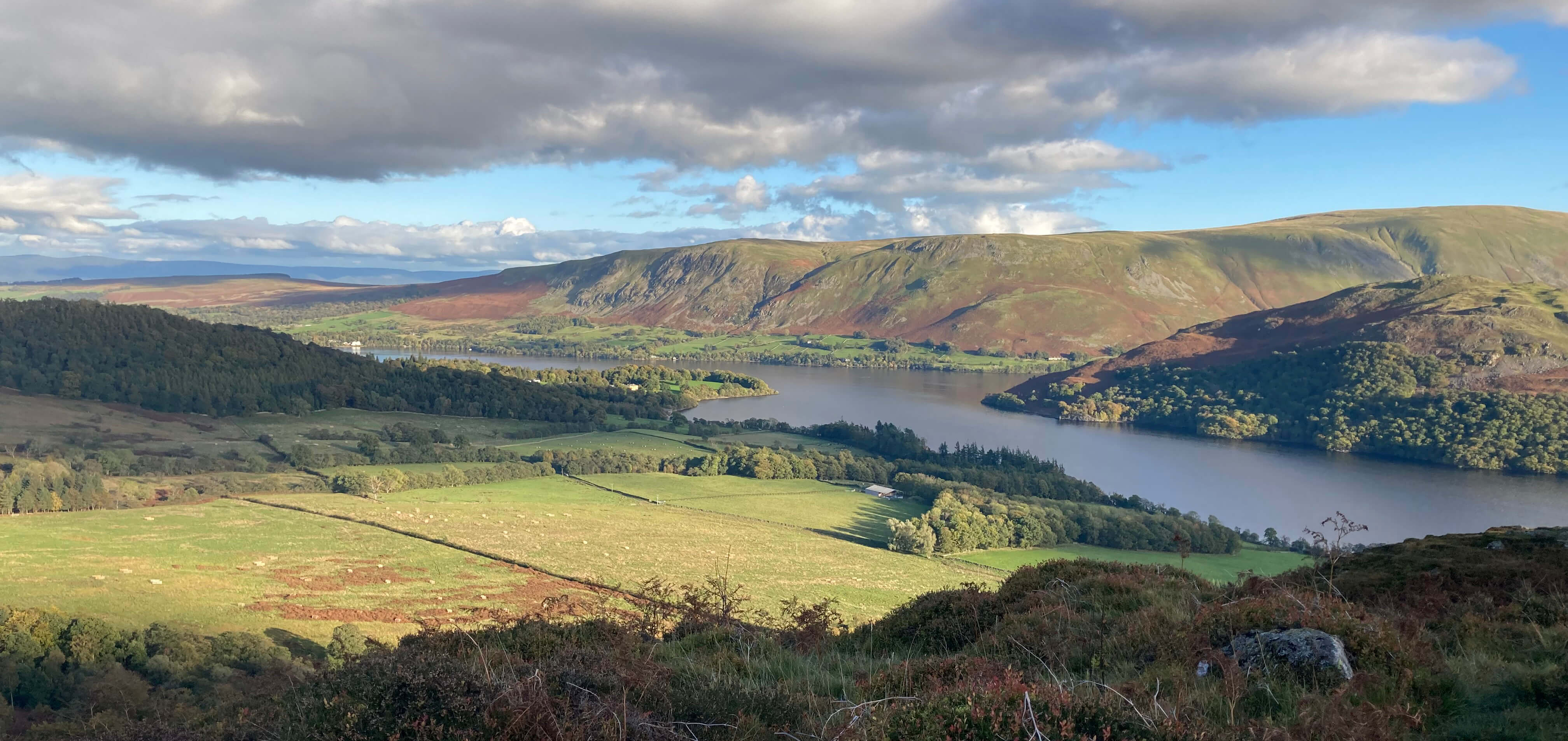
Ullswater from further along the Gowbarrow Fell path
From Gowbarrow Fell thereÆs still another four miles to walk to Pooley Bridge, and by Lake District standards it is rather ordinary walking. It is pleasant enough, with Little Mell Fell prominent to the left, but you are far from the lake, with only occasional distant views of it. Perhaps we had been sated by the earlier views. The paths through woodland, across fields and on quiet lanes didnÆt have the feel of the Lake District about them. We tip-toed past the Quiet Site, which considers itself the ôcoolest place to stay in the Lake Districtö, and opposite it Cove Park, which, not to be outdone, labels itself ôthe peaceful parkö.
Home Preamble Index Areas References Me
® John Self, 2018-

Top photo: The western Howgills from Dillicar; Bottom photo: Blencathra from Great Mell Fell