
Home
Preamble
Index
Areas
Map
References
Me
Drakkar
Saunterings: Walking in North-West England
Saunterings is a set of reflections based upon walks around the counties of Cumbria, Lancashire and
North Yorkshire in North-West England
(as defined in the Preamble).
Here is a list of all Saunterings so far.
If you'd like to give a comment, correction or update (all are very welcome) or to
be notified by email when a new item is posted - please send an email to johnselfdrakkar@gmail.com.
164. A Walk in the Kentmere Park
As last week, Ruth was out and about, able to tip me out for a walk, this time from the
village of Ings, two miles east of Windermere. Before the musicians were set to play,
I had a look at the Ings church, in particular at the marble therein. This marble,
and indeed the church, re-built in 1743, is
due to Robert Bateman, a local man who made good, or at least made money, as a merchant
based in Italy. I did my best to study the marble but, knowing nothing about marble, I
cannot say if it deserves the acclaim it receives.
I set off heading north aiming to reach Sallows (516 metres), the highest point of
Kentmere Park, and the adjacent hill of Sour Howes (483 metres), two hills that I had not
previously visited. The lane from Ings climbed gently up past Broadgate
Farm but was not as quiet as may be hoped because drivers use this lane as a short-cut to and from Troutbeck. Matters improved when I took Borrans Lane up past Borrans Lake and the Outdoor Education Centre of High Borrans.
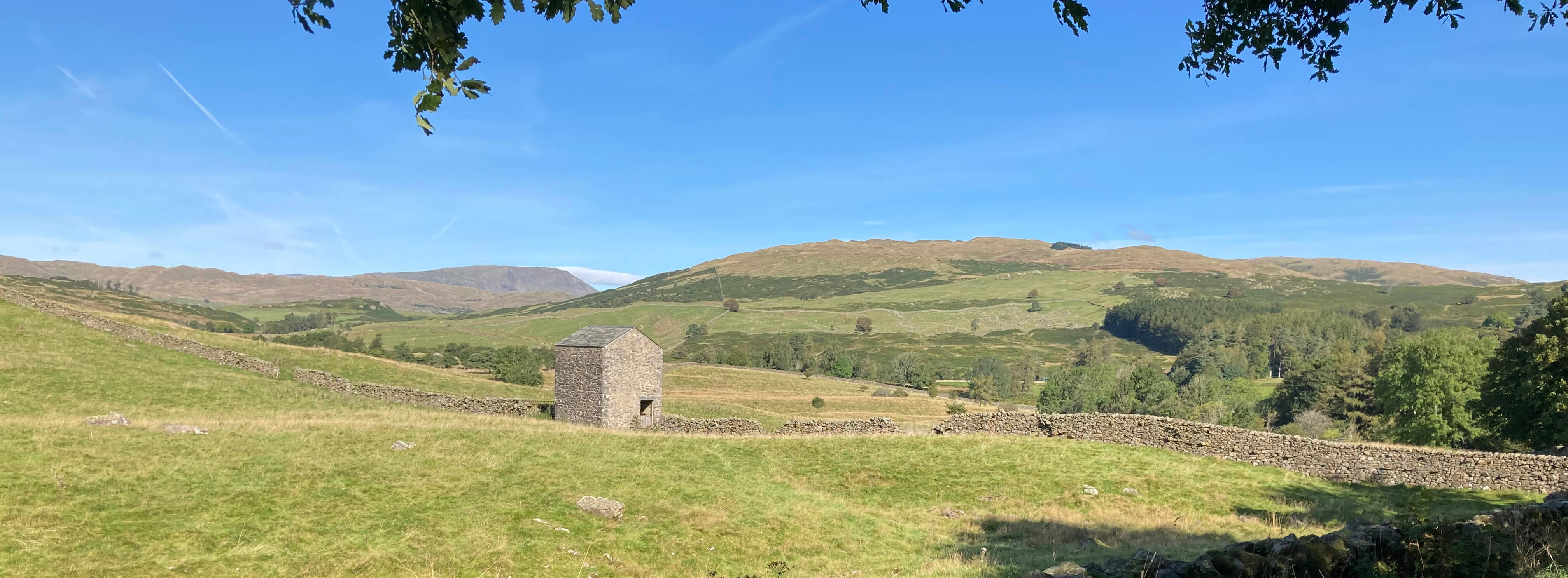
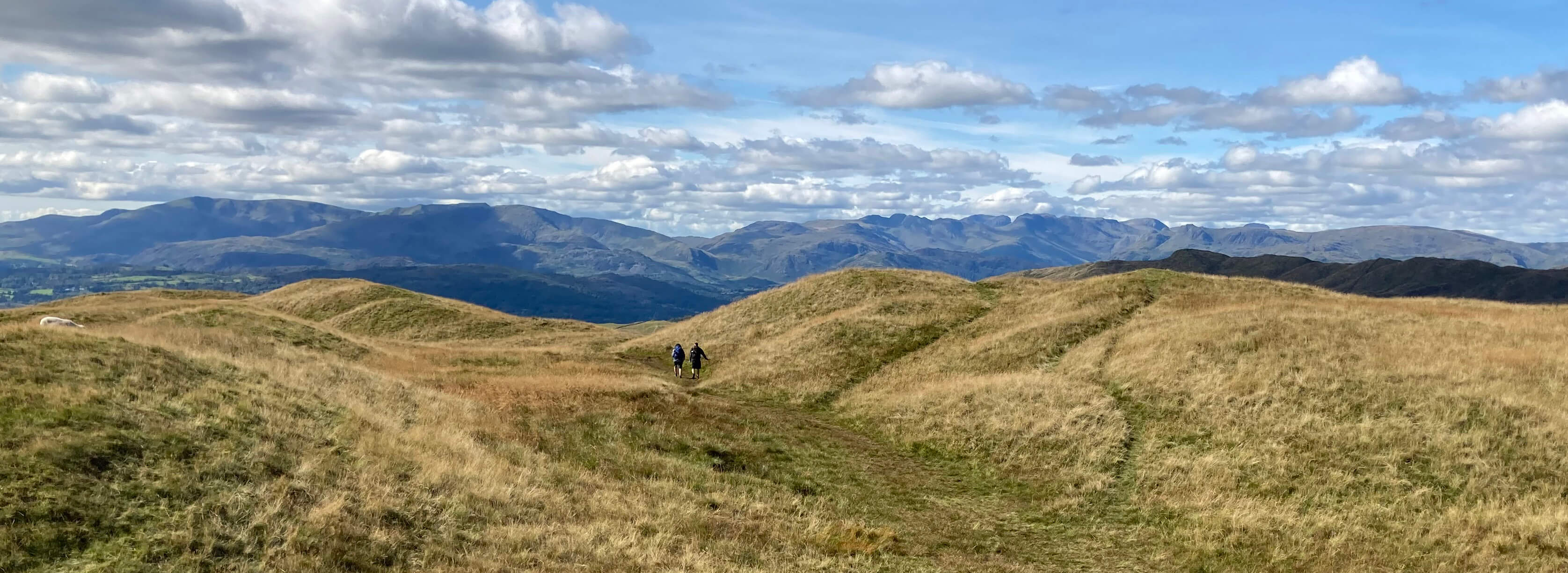
The first view of Sour Howes, from Borrans Lane (that's Red Screes in the distance, behind the barn)
I entered open access land at a gate with a sign saying ôshooting in progressö. The sign looked
to have been there for some time. Why canÆt shooters put a date on their signs? Or do they
hope to keep walkers out even when there is no shooting in progress? Or have they
given up shooting here anyway? Walking up by Borrans Plantation I was entertained by a
number of speckled woods but the path continued into a field that was not open access.
So I climbed a fence to continue north, with no path û or if there was
one then it was well hidden by bracken.
A few minutes battling through high bracken is enough for anyone to lose their bearings and
the will to live. Emerging eventually onto a grassy area, I had some difficulty pinpointing
my whereabouts on the map. My intended general direction was clear û I could see which way
was up and that hill over to the left must be Sour Howes û but I could not
match the fences and walls to those shown on the map. There was nothing else marked on the
map to help me.
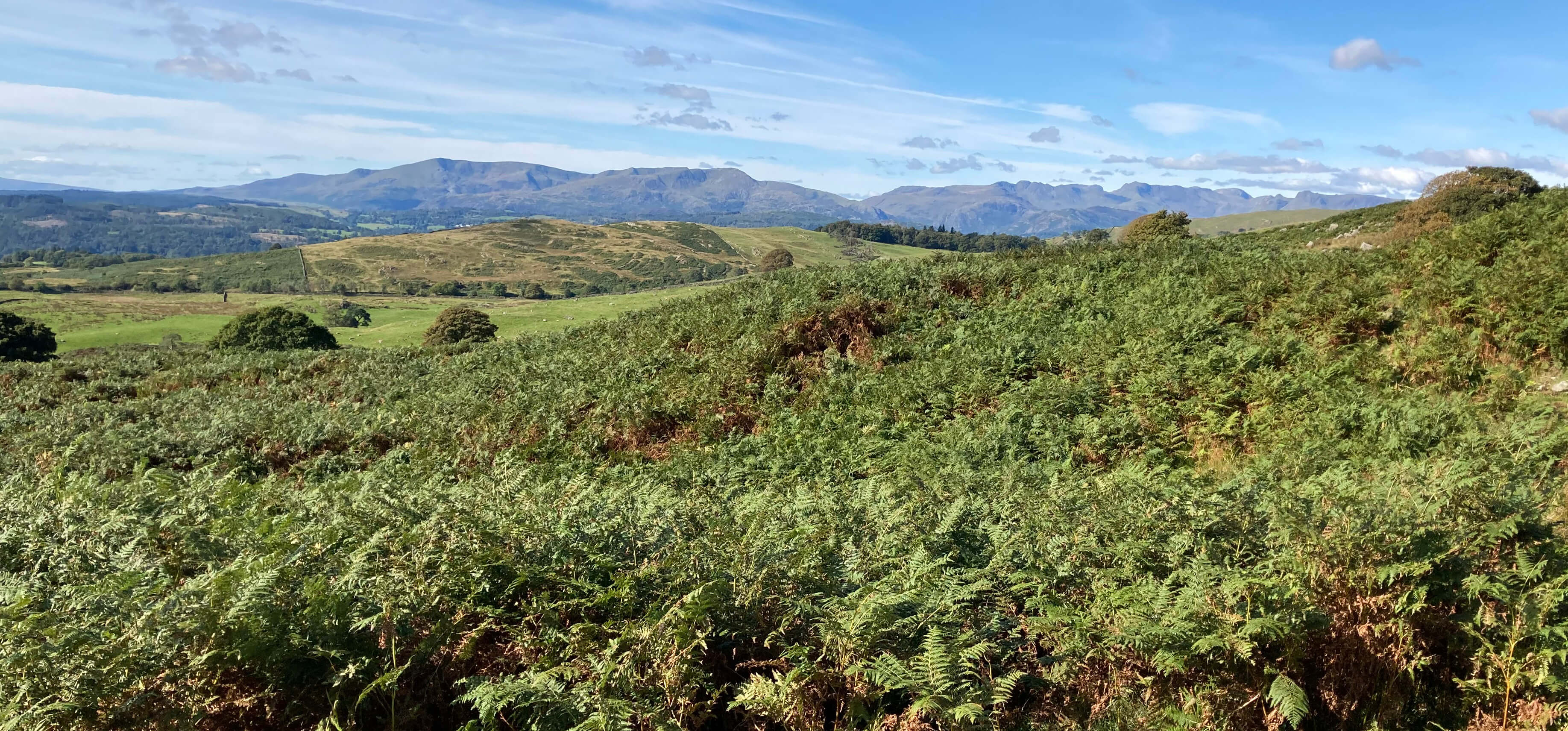
Left and right: I was so focussed on my battle with the bracken, heather, grass,
fences and walls that I didn't
at first notice that views were opening out, of the distant hills and Windermere.
So I headed for Sour Howes. A couple more fences and walls got in my way but I pressed on
as best I could, skirting areas of bracken and heathen and thankful that the recent weather had
dried out the boggy areas. The grass was too high for
comfortable walking, requiring a knees-up which was quite tiring.
Walking is anyway always more tiring if youÆre not quite sure where you are.
And at any moment I might be shot.
I began to doubt the wisdom of this outing. I was in a forlorn area where there was
little of interest to see and no sign of fellow walkers, either now or ever, and understandably so.
I even questioned the whole Saunterings enterprise. Initially, I had
said that I wouldnÆt just walk in the æbest bitsÆ but would try to give a balanced impression by
walking around the region at random, taking the rough with the smooth. This was a bit of rough.
My pursuit of balance has at least shown that even in central Lakeland, within a few miles of the
tourist centres, it is possible for walkers to find peaceful solitude, although they will need to
be desperate for it to seek it here.
After some time, I reached the top of Sour Howes and settled in a sheltered spot for a
lunch break and to regain my equilibrium. Now, at least, I had a view û and as I began to absorb
it I appreciated that it was a pretty good one. Windermere was stretched out below, towards Morecambe Bay.
The Coniston Old Man, Wetherlam and Swirl How group were particularly finely arrayed and further across I
could see the great peaks of Crinkle Crags, Bowfell and the Scafells. This was why I come here û
to be amongst the mountains and the memories.
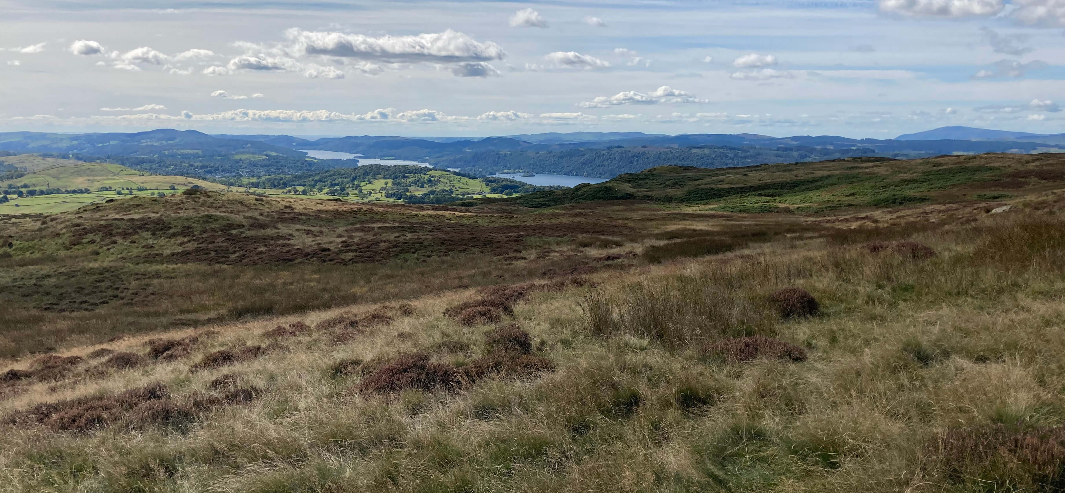
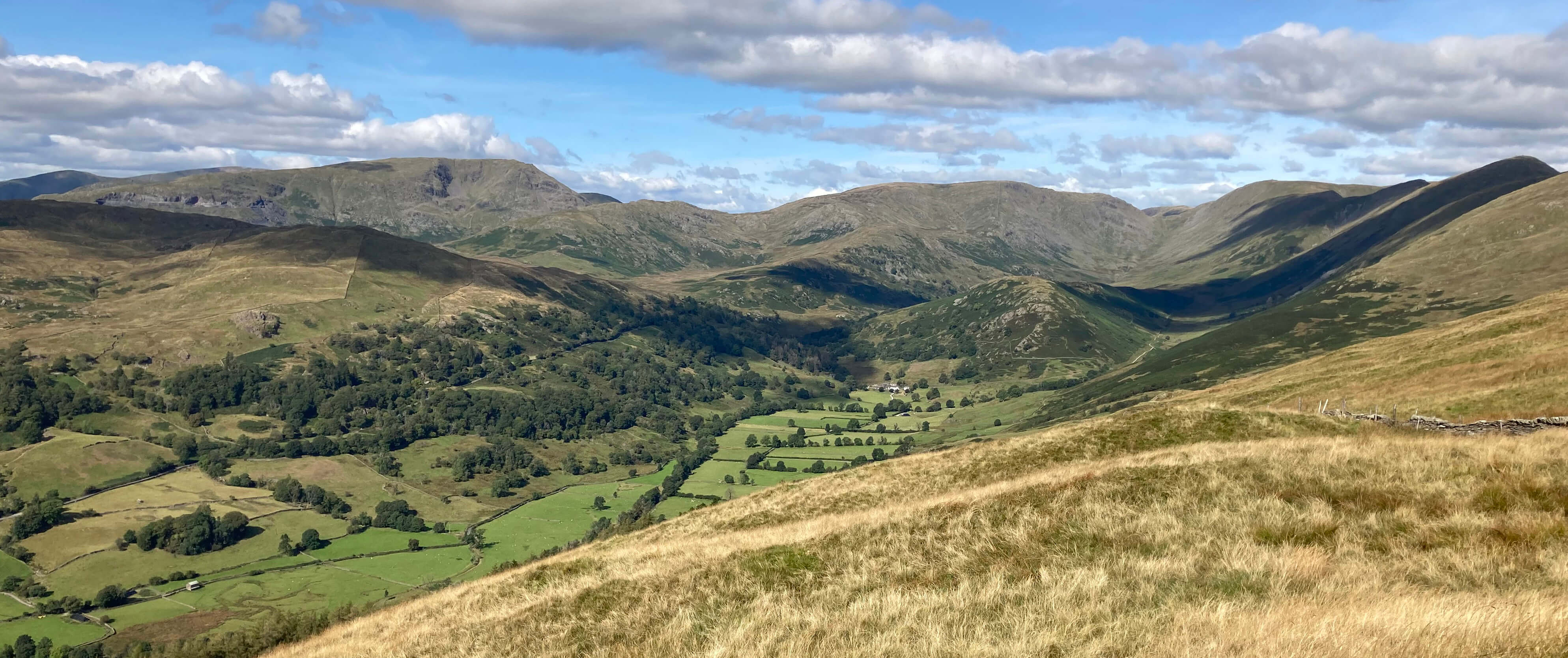
Windermere from my lunch spot
Then my thoughts switched to my nearer surroundings. It gradually dawned upon me that the wall
over to the right and the fence ahead of me only made sense if I was not, in fact, on Sour Howes
at all but on the lesser hill of Capple Howe (445 metres). So Sour Howes must be the hill
another half a mile ahead. Well,
who wants to walk up a hill with a name memorable only for being the most miserable
in the Lake District?
However, I felt re-energised
by being sure, at last, that I knew exactly where I was.
I reached the top of the real Sour Howes in no time. From here, of course, the view was
even better, now including the Langdale Pikes, Great Gable, Fairfield and Red Screes and, to the north,
most of the peaks of the Kentmere Horseshoe. There were even a few walkers about, who had walked up from
Troutbeck, to reassure me that I was back where walkers belonged.
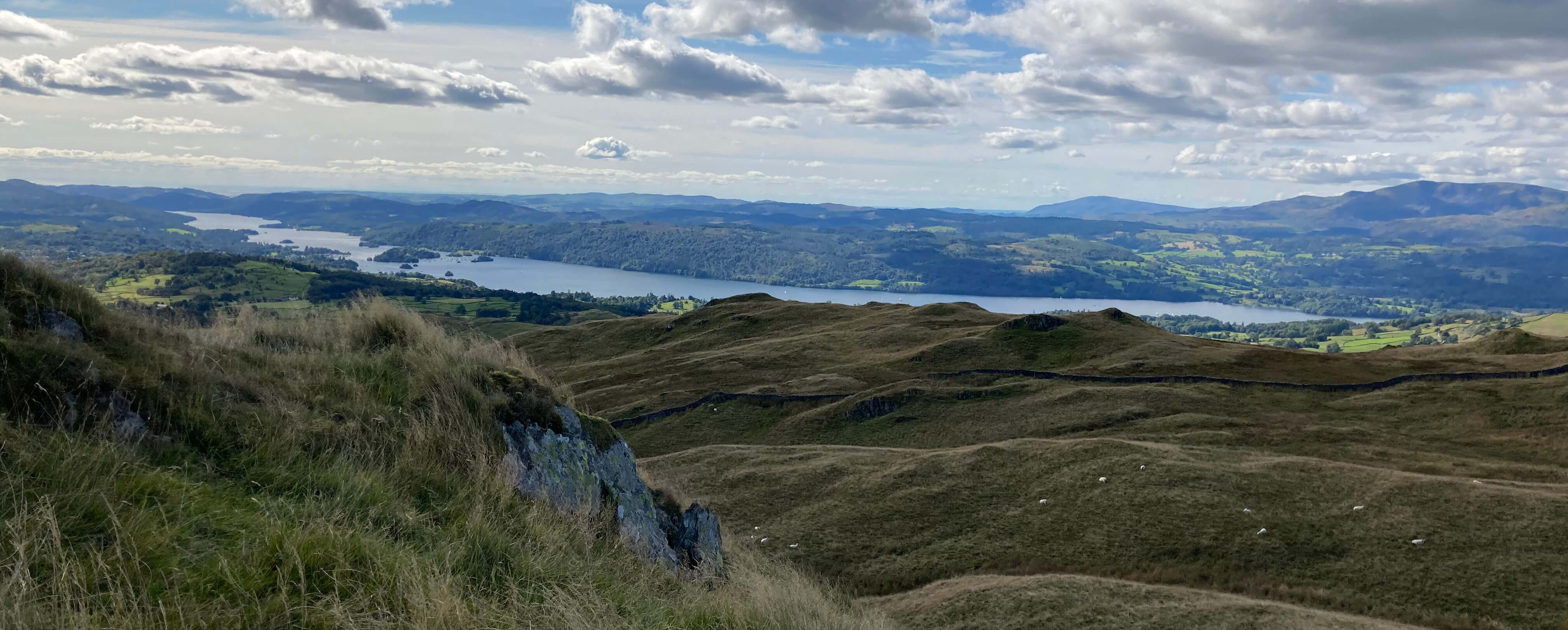
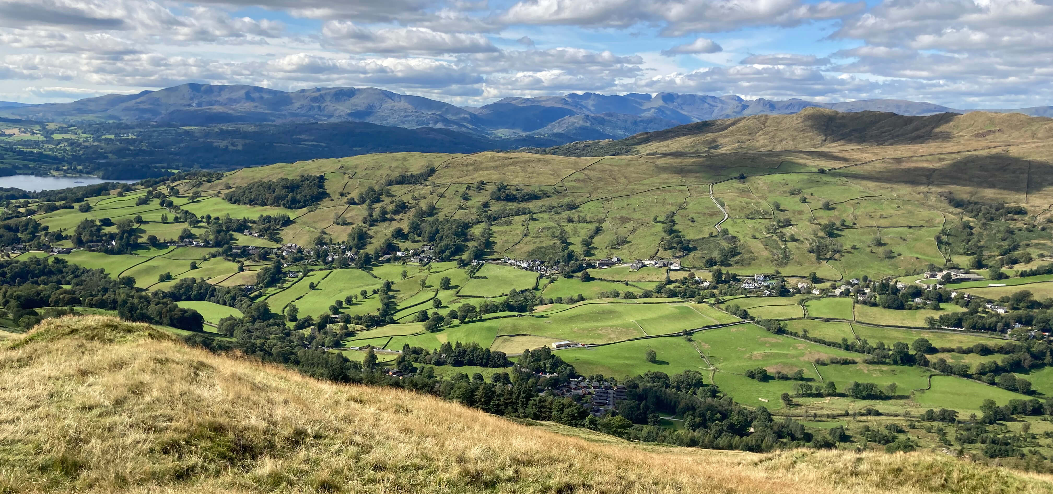
The view west from Sour Howes
Nearby, Sallows was ahead, with the curving wall to be followed to reach its top, but I didnÆt walk
on to it. I just couldnÆt face traipsing from there across the so-called Kentmere Park again.
I might have set off from Sallows aiming for the bridleway marked on the map only to find
more bracken, walls, fences and barbed wire. I didnÆt want any
more challenges. A gentle walk back to Ings would be enough.
I dropped down to the west to the Dubbs Road, which is a track that runs past Dubbs Reservoir. I was glad
to have done so because the path down provides excellent views along the length of the Troutbeck valley,
of Wansfell opposite, and, to the south, of a sparkling Windermere.
Upper Troutbeck
Lower Troutbeck
I strolled slowly along the Dubbs Road track and then
the lane from Moor Howe, enjoying the bonus of late blackberries (which are late in the sense of perished at home).
I did not seek any further æadventuresÆ but kept to the lanes back to Ings, sustained for the last
couple of miles by the thought of well-earned refreshment at the Ambio CafÚ. Sadly, the sign
outside was all there was of the Ambio CafÚ: inside was completely empty.
On reflection, I clearly made a mistake tackling Kentmere Park
from the direction I did, across terrain unfamiliar to me and that, I now realise, has been wisely
avoided by everyone else
who has written about walking here. For me it wasn't a walk in the Park.
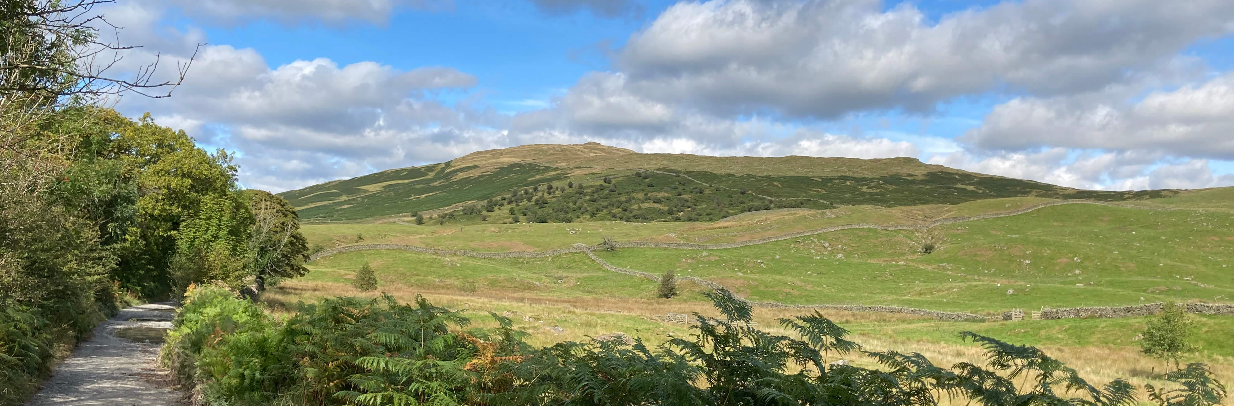
The last view of Sour Howes, from Dubbs Road
Date: September 17th 2022
Start: SD446986, Ings (Map: OL7)
Route: W, NW past Broadgate Farm, N on Borrans Lane, E, N on open access
land û Capple Howe û NW û Sour Howes û SW û Dubbs Road û S û Moor Howe û SE û Ings.
Distance: 9 miles; Ascent: 360 metres
Home
Preamble
Index
Areas
Map
References
Me
Drakkar
® John Self, Drakkar Press, 2018-

Top photo: The western Howgills from Dillicar;
Bottom photo: Blencathra from Great Mell Fell