
Home Preamble Index Areas References Me
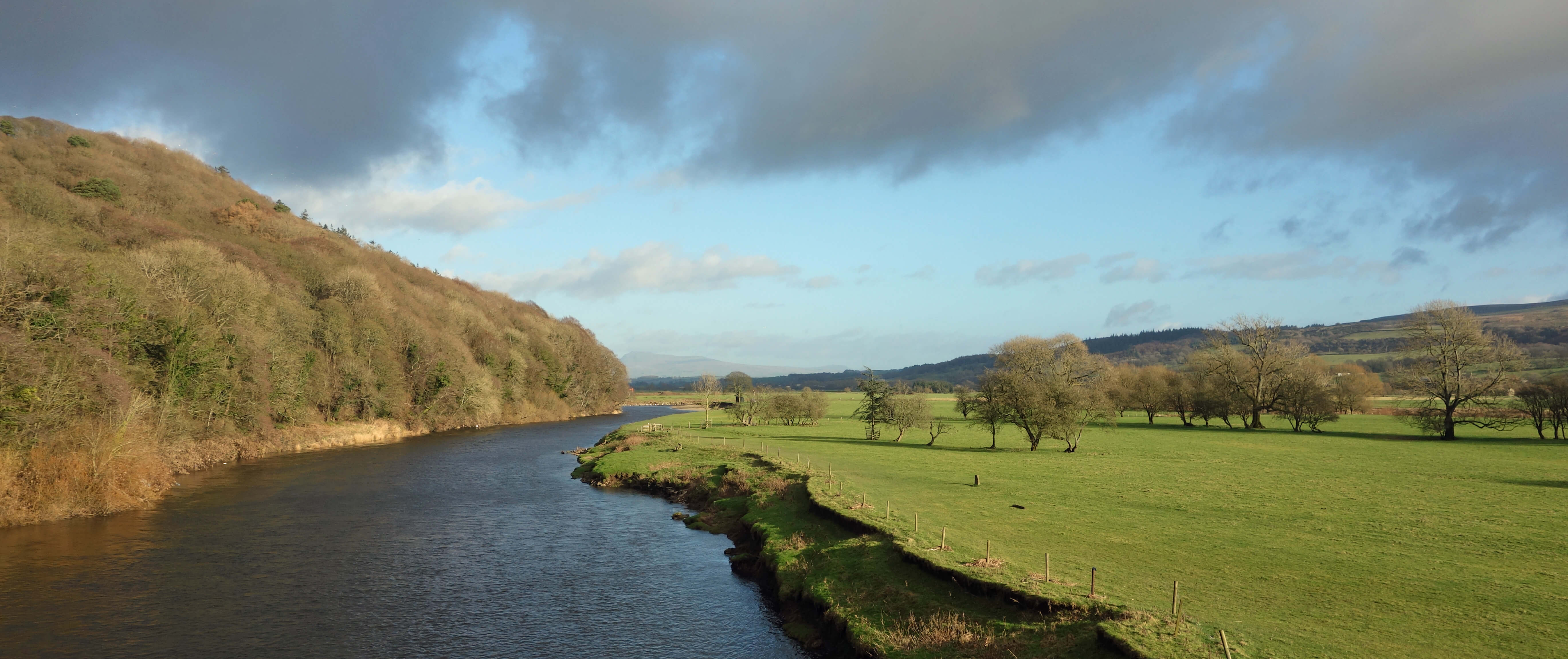
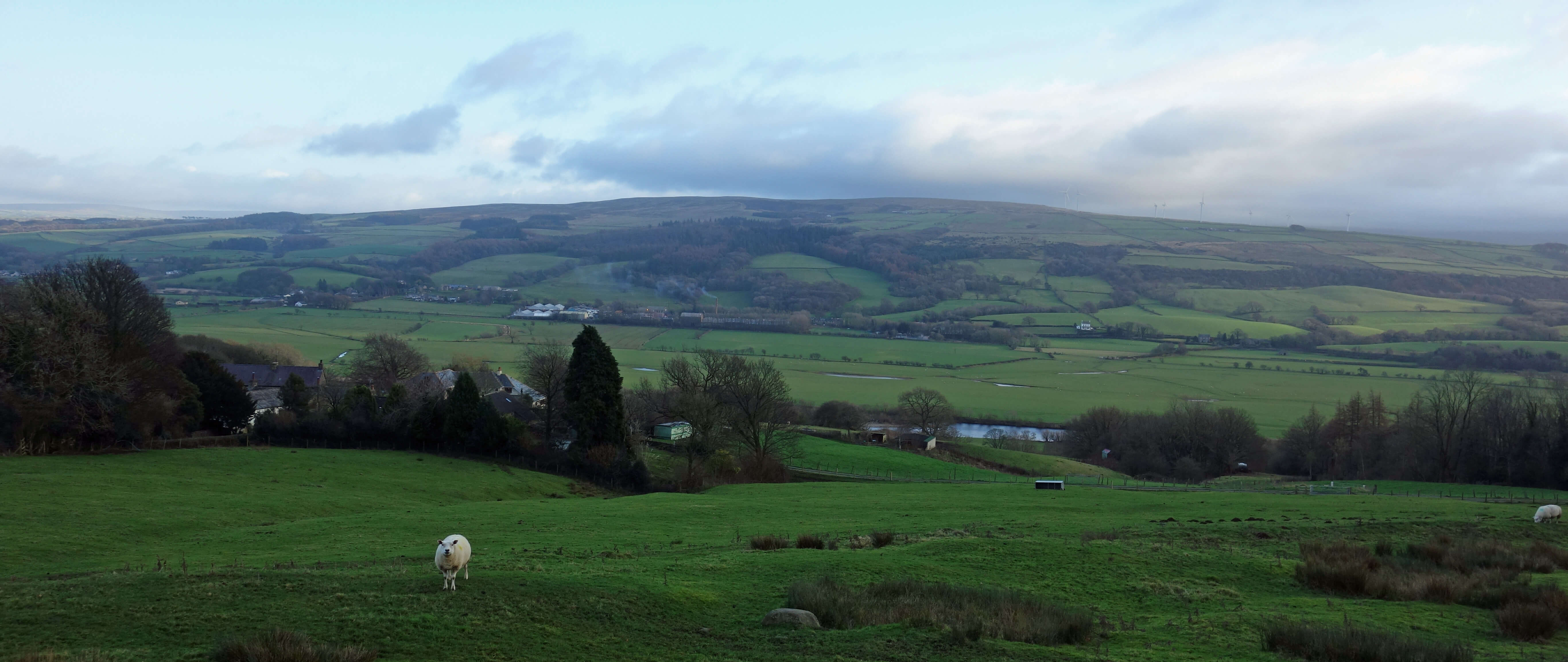
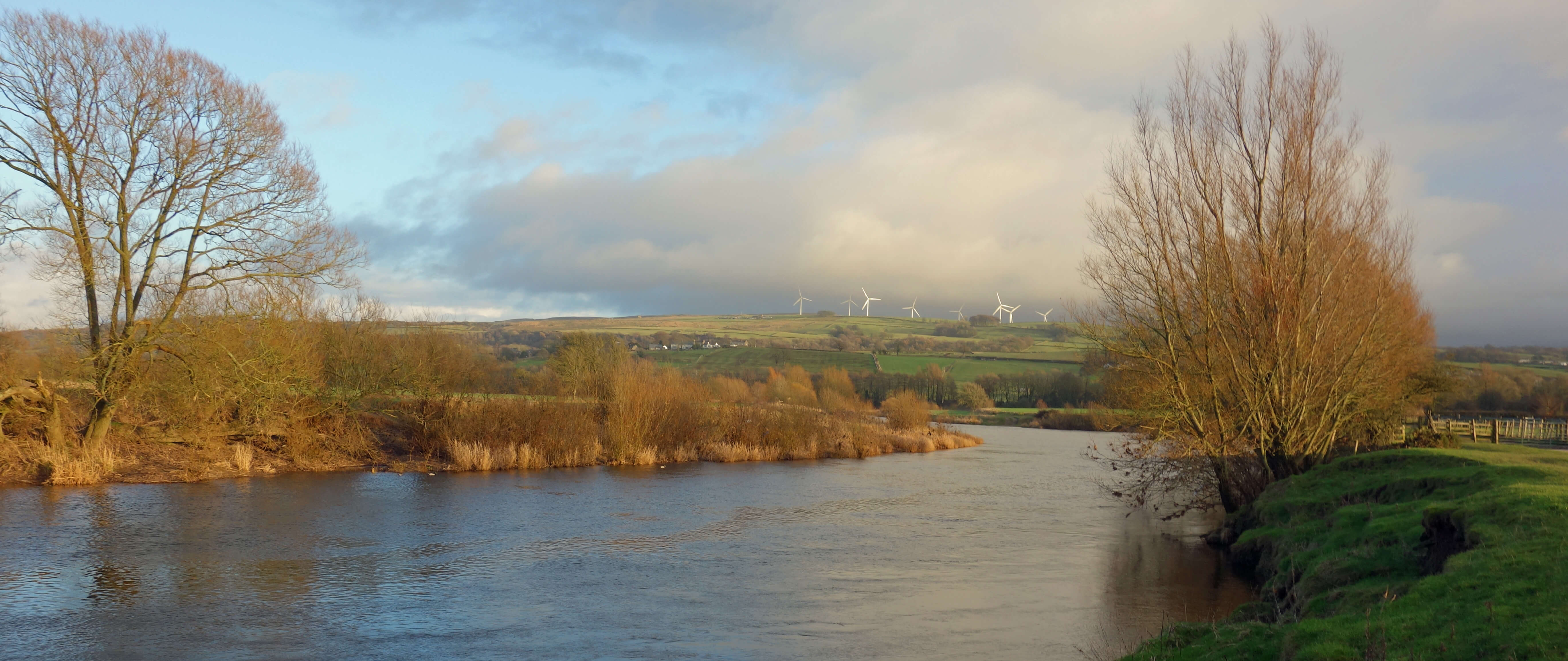
 After several gloomy days, a cheerful sky lured me out, but it wasn’t cheerful enough to lure me far. I walked across the River Lune for a loop through the Highfields (Far, Middle and Lower) on the opposite bank. This is familiar terrain, which has the disadvantage that I would probably find little new to say about it but the advantage that I didn’t really need a map to make sure that I didn’t lose my way.
When it comes to wayfinding people tend to fall into one of two groups: they either prefer to use (physical or mental) maps – or they prefer to follow directions (remembered or told to them).I will call the two groups ‘mappers’ and ‘followers’. Mappers apply a ‘spatial’ approach in which they rely on features of the landscape and how they relate to one another to tell them where they are. Followers apply an ‘egocentric’ approach, whereby they relate everything to their own position. Ordinarily, people will opt for their preferred strategy but in some situations it may not be possible. For example, a mapper summoned to a meeting in a large, unfamiliar building may well temporarily become a follower – ‘take the lift to the tenth floor, turn right, and the meeting room is 200 yards on the left’.
 Above the village of Aughton I checked the map just to be sure that I didn’t miss the footpath below
High Barn. I expect that most walkers are mappers. Certainly, I am. I don’t use any modern electronic
technology to find my way around on my walks. I always walk with an OS map in the backpack but I expect
to leave it there. Before the walk I copy on to an A4 sheet the relevant part of the map and fold it so
that one-eighth of it is visible (the part that I am walking on). As I walk along, I can fetch the map
from my pocket to check the fine detail of the walk in a couple of seconds, hardly breaking my stride.
I have found that I have developed the ability, when glancing at the map, to remember my route quite far
ahead (as a good orienteer does, I’m sure). This, I think, is a legacy of running around with a
map stuffed in my shorts. As a runner, you want to get into a rhythm and not have to keep stopping to check the route every few yards. So, as I walk along, I have a fairly detailed mental map of the route ahead.
Above the village of Aughton I checked the map just to be sure that I didn’t miss the footpath below
High Barn. I expect that most walkers are mappers. Certainly, I am. I don’t use any modern electronic
technology to find my way around on my walks. I always walk with an OS map in the backpack but I expect
to leave it there. Before the walk I copy on to an A4 sheet the relevant part of the map and fold it so
that one-eighth of it is visible (the part that I am walking on). As I walk along, I can fetch the map
from my pocket to check the fine detail of the walk in a couple of seconds, hardly breaking my stride.
I have found that I have developed the ability, when glancing at the map, to remember my route quite far
ahead (as a good orienteer does, I’m sure). This, I think, is a legacy of running around with a
map stuffed in my shorts. As a runner, you want to get into a rhythm and not have to keep stopping to check the route every few yards. So, as I walk along, I have a fairly detailed mental map of the route ahead.
Mappers tend to have larger hippocampi than followers.This is a generalisation of the famous study of London taxi-drivers which found that they had larger hippocampi than normal. It has been found that the strategies of mappers and followers exercise different parts of the brain. Mappers mostly use the hippocampus, a part of the brain which plays an important role in memory, including spatial memory to enable navigation. Followers mostly use the caudate nucleus, which is involved in movement control and the learning of habitual behaviours. People have more grey matter in those organs which they exercise during wayfinding.
People with larger hippocampi than normal are less likely to develop dementia and similar problems as they age.It isn’t always the case that an enlarged organ is a good thing but it seems that an enlarged hippocampus (at least one enlarged by active use rather than some physical deformity) has its benefits. As is well known, the hippocampus is one of the first areas of the brain to be affected by Alzheimer’s disease and a decline in spatial reasoning is one of its first symptoms.
Mappers are less likely than followers to develop dementia and similar problems.I hope so. As Bond (2020, p93) puts it, “Navigating spatially by studying the lie of the land and picturing where you are in relation to where you want to be … is the road to cognitive riches”. To put the conclusion negatively, followers – such as those that rely on GPS devices to tell them where to go – are more likely to develop dementia than mappers. GPSs are too new for this negative effect to have been confirmed by experimental studies but the conclusion seems to follow. As the Wayfinding book discusses, there are other more subtle and more profound reasons to be wary of GPS devices, since they further loosen the evolutionarily important association that we developed with our environment and may lead us to be uninterested in our physical and mental place in the world and indeed in the world itself. So I’m content to stick with the old-fashioned paper map in my pocket.
Home Preamble Index Areas References Me
© John Self, 2018-

Top photo: The western Howgills from Dillicar; Bottom photo: Blencathra from Great Mell Fell