
Home
Preamble
Index
Areas
Dales
Hills
Lakes
Places
Reserves
Rivers
Structures
Villages
References
Me
Saunterings: Walking in North-West England
Saunterings is a set of reflections based upon walks around the counties of Cumbria, Lancashire and
North Yorkshire in North-West England
(as defined in the Preamble).
Here is a list of all Saunterings so far.
Guaranteed ad-free, AI-free and free!
221. Small Water with Little ‘Uns
When they all returned from Easter Sunday morning church I assumed that we’d have a
gentle picnic outing. But no, it was decided that we would drive to the Mardale
Head car park even though I knew that it would be full on a sunny Bank Holiday day.
Sure enough, cars were parked all along the road well before we neared the car park.
But, lo and behold, there was a space for us at the car park. Someone had presumably
just left. So, what do I know?
We duly set off on the path that leads eventually to the Nan Bield Pass
into Kentmere. While I puffed and panted up the slope the three youngest of us
(12, 10 and 6 (minus 2 days)) ran and scrambled about with unseemly energy. We
thankfully paused halfway up to Small Water for the promised picnic, with a view
back to Haweswater, which had much less water than normal.
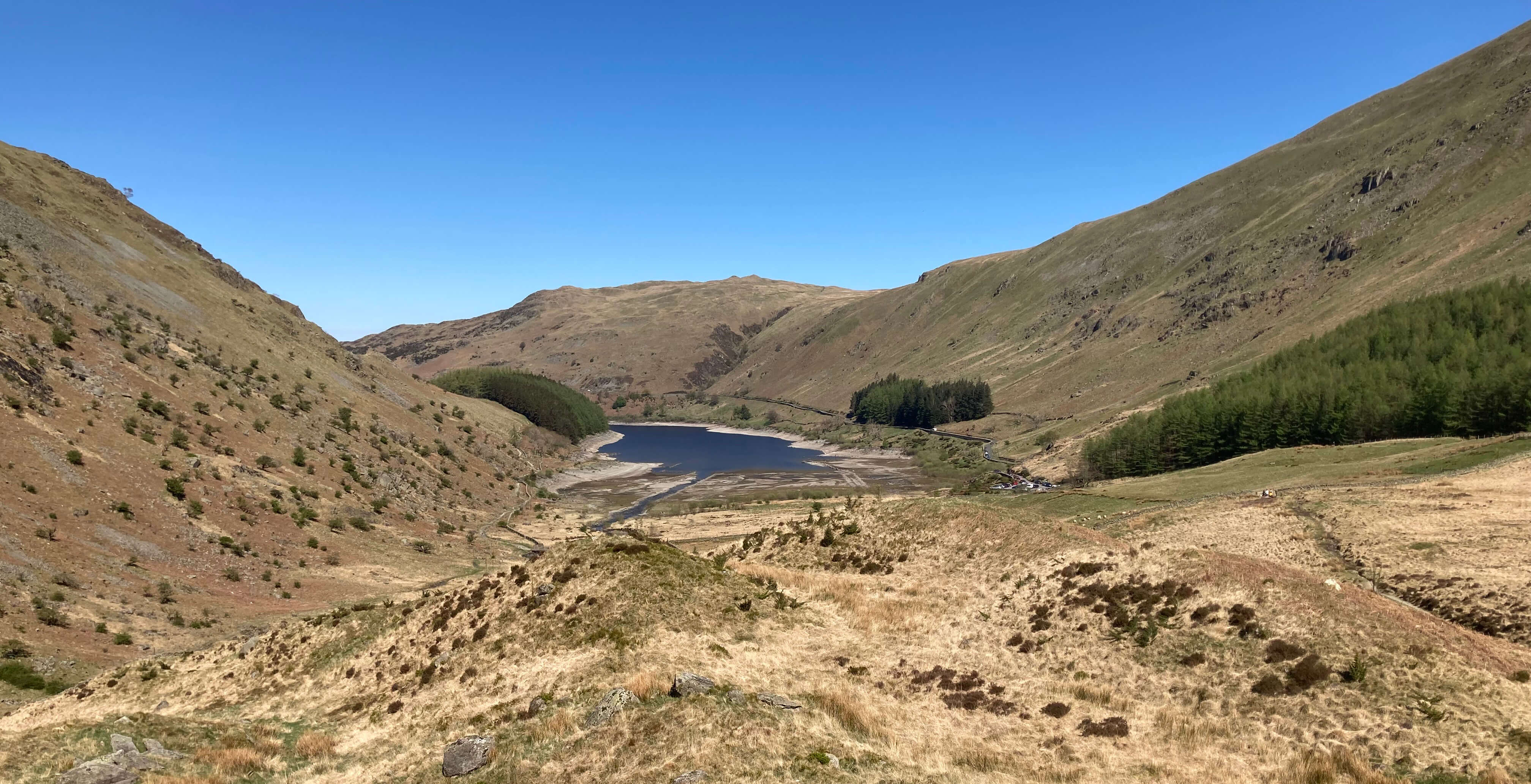
Looking back to Haweswater from the picnic spot
Easter eggs consumed, we continued to Small Water. I forged ahead determined to
show the youngsters that there was some energy left in the old legs. It was easy
to keep ahead because they detoured far more than was necessary to scramble over
every beck and rock on and off the way. They’ll learn.
I sat quietly by the lake waiting for the youngsters, their parents and Ruth
to join me. Small Water lies at about 450 metres and is not so small, being about
360 by 180 metres. A few walkers passed us on this popular route and
the children frolicked by and in the tarn. While they were very much in the
here-and-now my mind wandered. A long time ago (in fact, 1988, according to my
records) I had a memorable run from Kentmere Church (at 160 metres), over the
Nan Bield Pass (640 metres), down to the Mardale Head car park (250 metres),
over the Gatescarth Pass (567 metres), down to Sadgill in Longsleddale (180 metres)
and over the old track (350 metres) back to Kentmere. Earlier, as we had driven
along the length of Haweswater Reservoir, I had remarked that I had run around
it (in 1989, in fact) but I remember nothing of that run, probably because
running along the road on the eastern side is best forgotten.
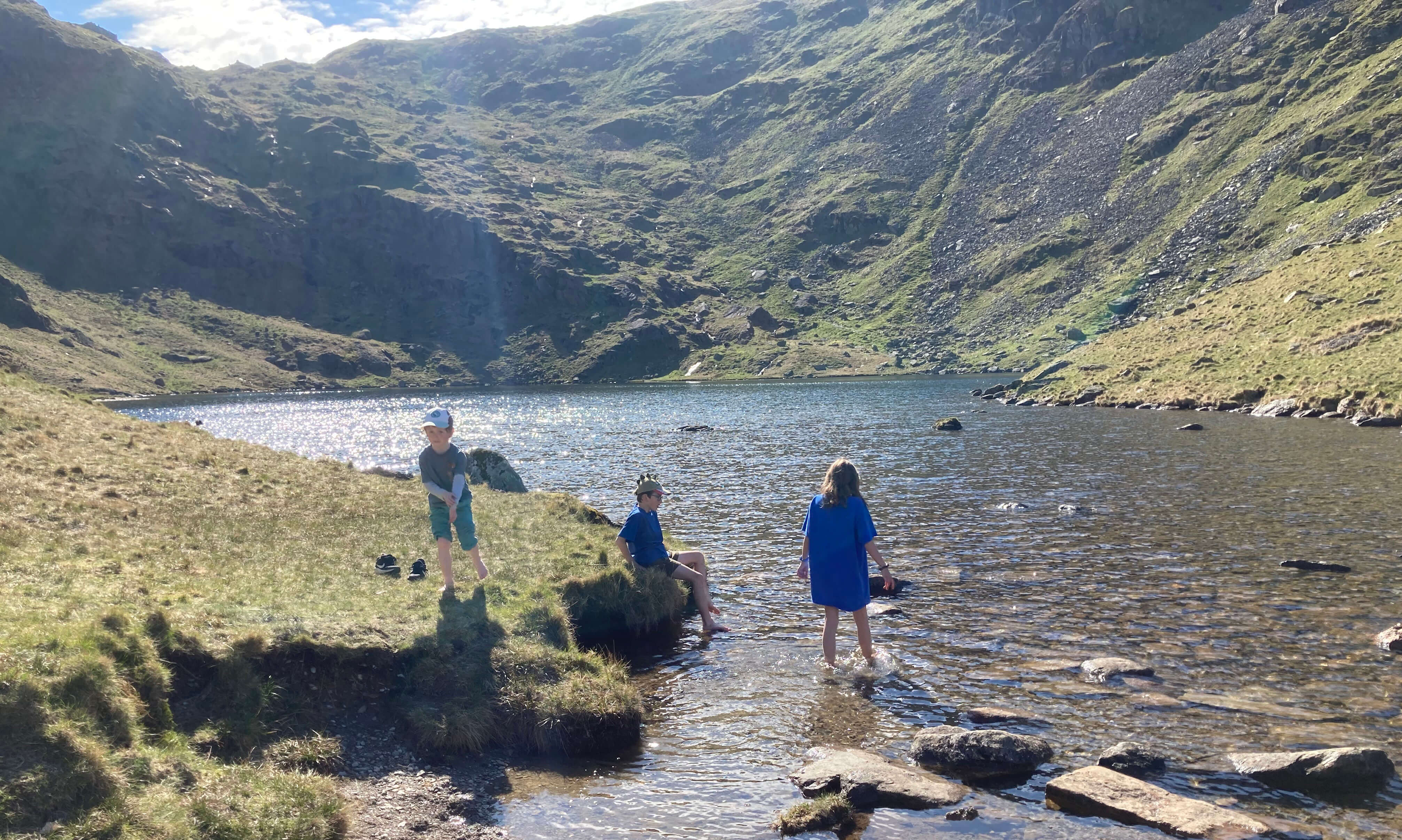
Small Water, with the Nan Bield Pass ahead
Son Martin also recalled a family Boxing Day (1996, in fact) walk up Harter Fell (779 metres)
in the snow, using the Gatescarth and Nan Bield Passes – and was tempted to tackle it
again. But he conceded that even the energetic youngsters (not to mention the oldies)
might find that a challenge. Instead we decided to walk across to Blea Water, described
as “the king of the Lakeland tarns” by Drews (1995).
It is always a little risky leaving the established paths in the Lake District
because even if the map suggests benign terrain you are liable to come across rocky
outcrops and boggy areas that have to be negotiated. It was quite a scramble but
at least the area marked on the map as Mardale Waters was much drier than it must
normally be. We paused to reflect that even though we were only a mile or two from
all the parked cars in Mardale we could see nobody else at all. The ridge of Rough
Crag ran in front of us, with Blea Water tucked, unseen, above and to the left.
The others crossed Blea Water Beck but I continued up, enjoying the struggle
now, on the left of it, believing that it was possible to cross the tarn’s dam.
Wrong again. So I crossed the beck here, which is probably less easy to do when
there’s a normal flow. Blea Water, at 482 metres, was largely in shadow, with the
sun being just above the precipitous Blea Water Crag, and it was difficult to really
appreciate the setting in a rocky combe below High Street and Riggindale Crag.
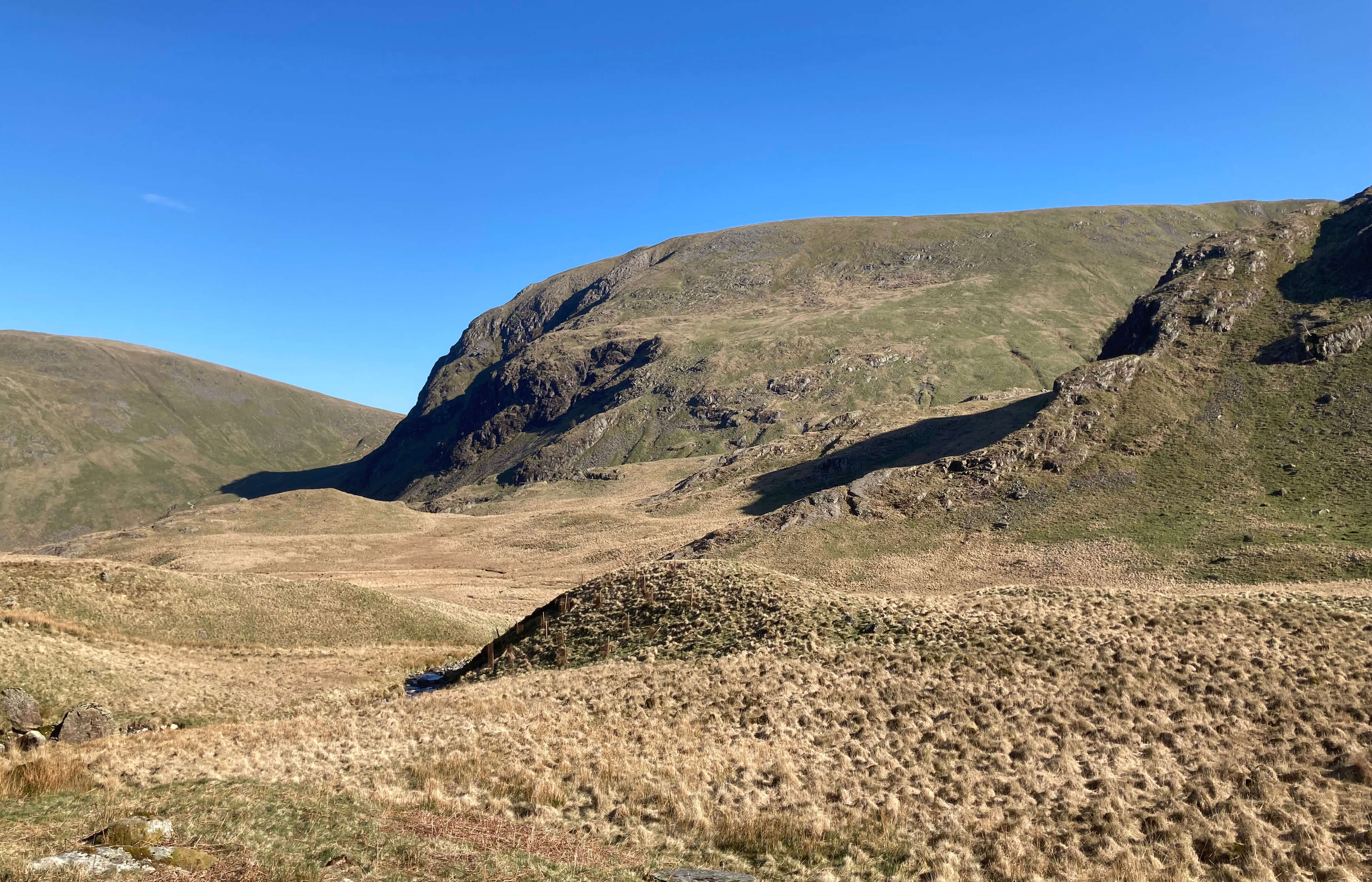
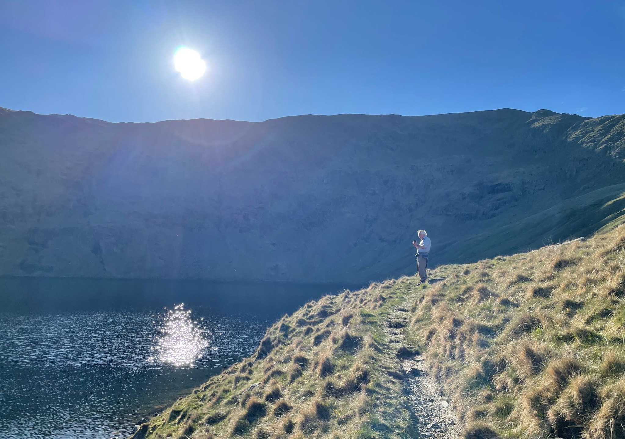
Left: Looking back to Harter Fell from Mardale Waters; Right: Blea
Water
On the previous visit here in 2018 [12] we had met a United
Utilities team who were considering removing the dam. Have they lowered the middle
part or was there always a gap there? (I don't remember from the
previous visit.) The tarn's banks don't look like they were once underwater, so I think it's the latter.
Anyway, United Utilities have more important problems to deal with than this
dam, which is small and hardly noticeable. The mystery really is why it was ever built.
We walked slowly down past the Mardale Waters waterfalls to the car park, with
the children still having energy to
spare while I floundered on the slippery path. It’s not just that we lose energy as we age.
We also lose reactiveness and flexibility, so that the natural instinctive response to
changes underfoot fades. While we slow it is a joy to see the next (actually,
next-after-next) generation’s uninhibited exuberance in these wild surroundings.
Their own joy is never explicit – they don’t pause to express awe or pleasure
within the natural environment – but it is implicit in their reaction to being here.
The contrast between my labours and their youthful energy naturally prompts
reflections on one’s own past and, especially, future outings. I must accept, for
example, that I will never walk along Helvellyn's Striding Edge again. I feel that I could be
(or become) fit enough to do so but my careful doddery traverse of the ridge would
get in the way of younger folk nipping along, for whom this is their rightful domain.
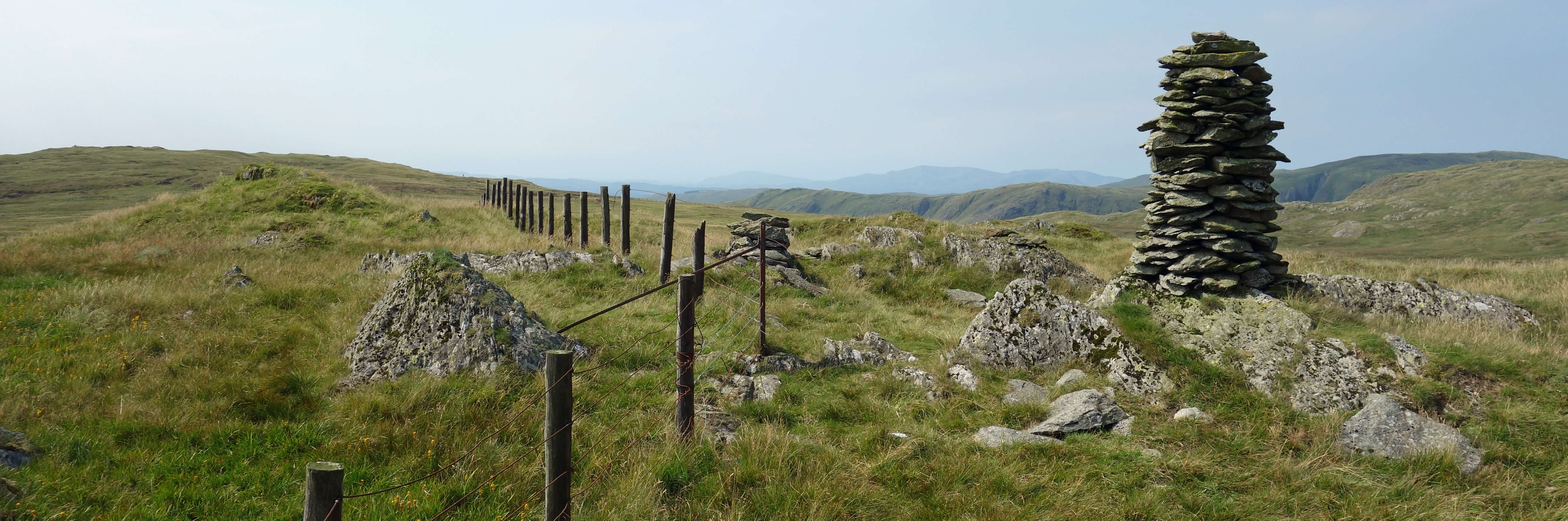 I must also accept that Saunterings has taken on the feel of a valedictory
tour. I remember reaching the top of a hill (in fact, this hill to the right) and
finding a couple already sat there. We chatted about our different routes up and
they said that next time they'd try my route. It would have been polite to
reciprocate the thought but instead my immediate reaction was that I wouldn't
be walking up this hill again. Not because it wasn't worth walking up again but
because I had such a long list of places where I wanted to walk that I doubted
that I had enough years left for another visit.
It's a sad thought but it has to be acknowledged.
I must also accept that Saunterings has taken on the feel of a valedictory
tour. I remember reaching the top of a hill (in fact, this hill to the right) and
finding a couple already sat there. We chatted about our different routes up and
they said that next time they'd try my route. It would have been polite to
reciprocate the thought but instead my immediate reaction was that I wouldn't
be walking up this hill again. Not because it wasn't worth walking up again but
because I had such a long list of places where I wanted to walk that I doubted
that I had enough years left for another visit.
It's a sad thought but it has to be acknowledged.
We paused in Shap for fish-and-chips (and variations). The children
still had energy to dash around the playground. It’s exhausting.
Date: April 20th 2025
Start: NY469107, Mardale Head car park (Map: OL5)
Route: SW – Small Water – NW – Blea Water – E – Mardale Head car park
Distance: 3 miles (rather more for the children); Ascent: 250 metres
867 +506 /2400
Home
Preamble
Index
Areas
Dales
Hills
Lakes
Places
Reserves
Rivers
Structures
Villages
References
Me
© John Self, 2018-
Contact: johnselfdrakkar@gmail.com

Top photo: Rainbow over Kisdon in Swaledale;
Bottom photo: Ullswater