
Home Preamble Index Areas Map References Me Drakkar
Nicky Nook
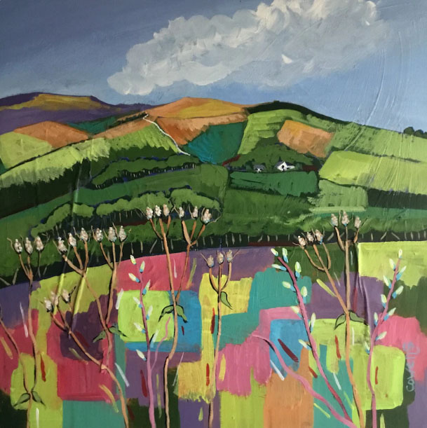
This depiction differed somewhat from the first view of Nicky Nook that I gained as I walked along Gubberford Lane towards Scorton (shown below). Nicky Nook is a modest little hill, only 215 metres high, that lies to the east of the M6 just south of the Lancaster (nÚe Forton) Service Station. There is no drama to the hill, no crags or precipices û just well-worn paths around and to the top. In January and partly in the shade it completely lacked the vibrant colours of the painting. In the summer and in sunshine it does too, really. So what is being attempted with the Nicky Nook painting?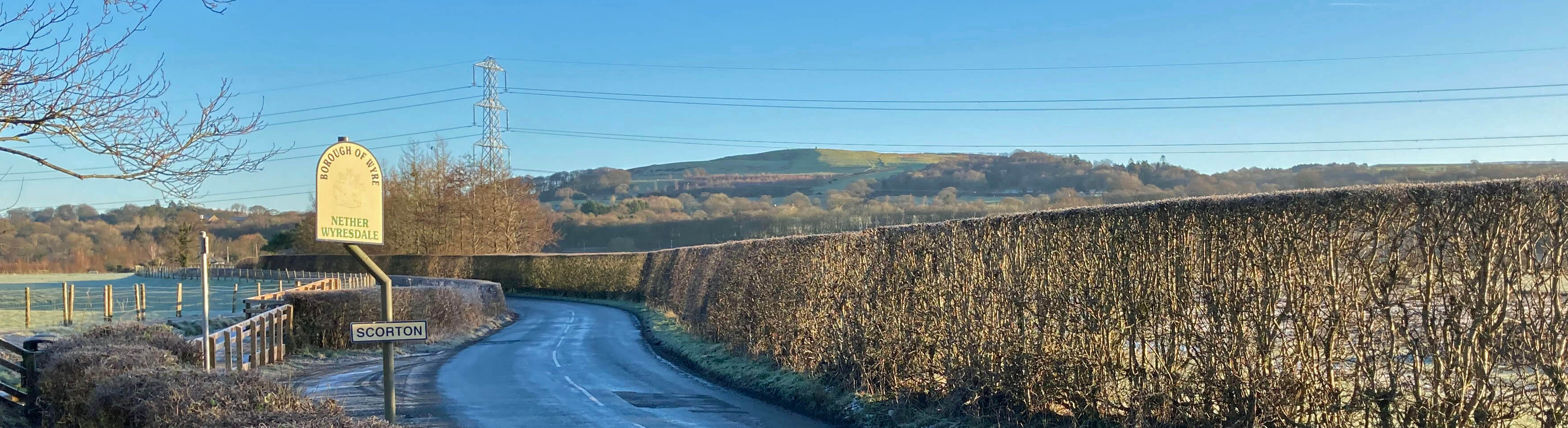
Nicky Nook from Gubberford Lane, approaching Scorton
Landscape art, in the sense of depictions of natural scenes such as rivers and mountains, has existed for millennia but in the UK the concepts of ælandscapeÆ and ælandscape artÆ developed concurrently in the 18th and 19th centuries when painters such as Constable and Turner established landscape art as a respected genre. At first landscape artists focussed upon three aspects: the pastoral (conveying a peaceful, contented air due to humanityÆs taming of nature), the picturesque (showing the beauty and wildness of untamed natural scenery) and the sublime (displaying the power of nature, almost as a warning to those who seek to tame it). Artists did not feel bound to seek fidelity with the natural scene. They felt free to omit or add features (for example, to include humans at ease in the foreground of a bucolic scene) or to distort them (to exaggerate, perhaps, the fearsomeness of a mountain). Nonetheless, a viewer of a landscape painting could agree that it was indeed a depiction of Flatford Mill, Mount Fuji or the Langdale Pikes, as the case may be.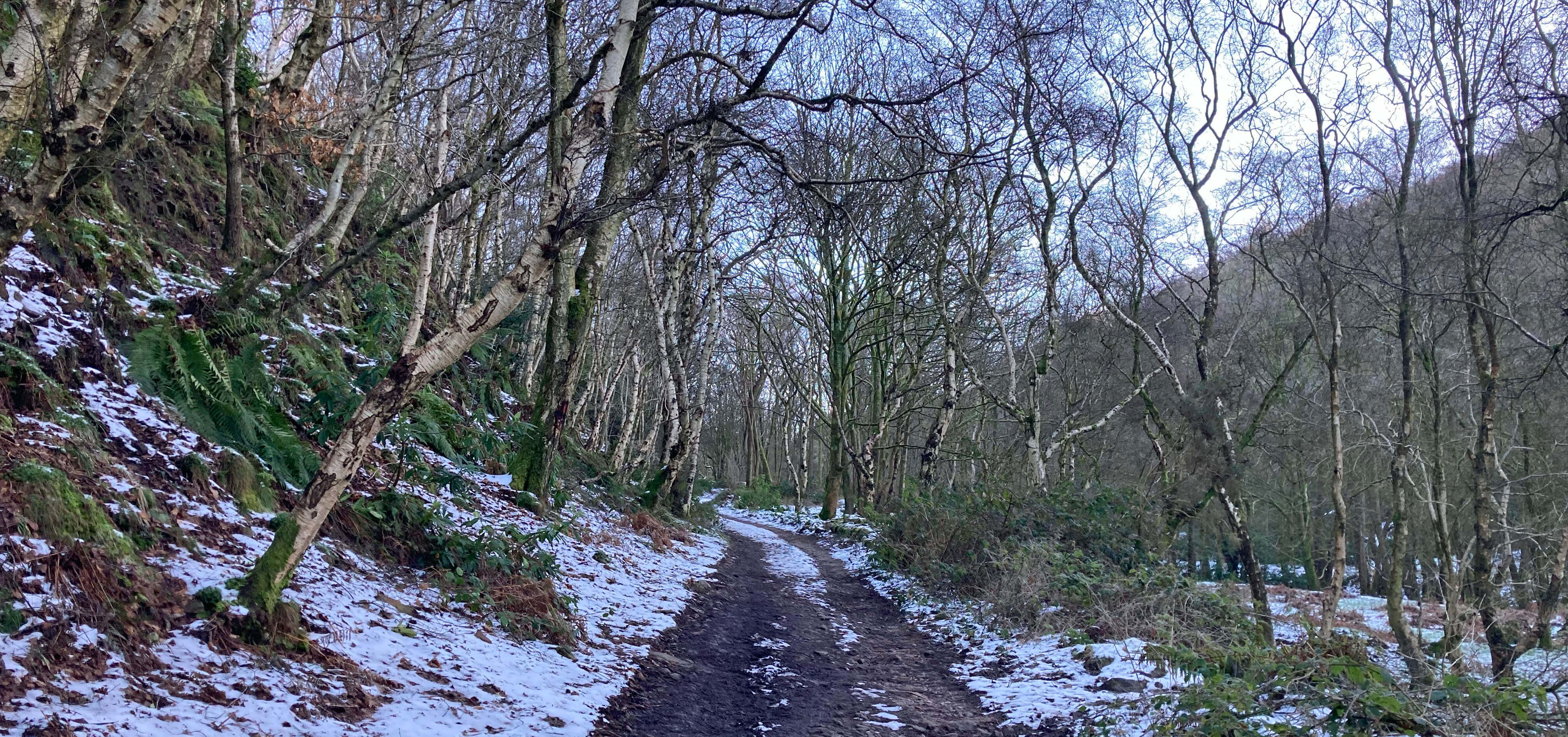
Silver birches on the path up to Grizedale Reservoir
The painting below is entitled æNicky NookÆ but it is so lacking in distinctive detail that it is hard to be sure that it is of our Nicky Nook. Assuming that it is, it can only be of the woodland path that I followed past the reservoir. The painting seems to me to be in the early pastoral style, intended to convey a pleasurable sense of the scene. I think of it as hotel art û inoffensive, soothing, but not something youÆd want on your wall to look at every day. It may be more realistic than the first Nicky Nook painting but it is not as interesting.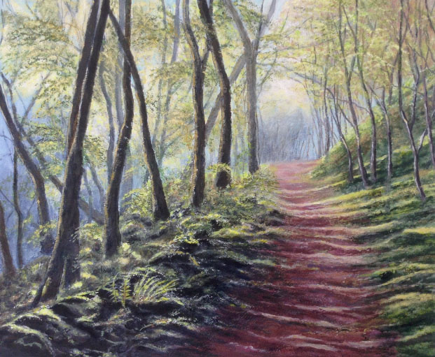
Nicky Nook
I emerged from the wood, in sunshine at last, confused at first, after the silence, by a low rumble û which I realised was the sound of the motorway. The top of Nicky Nook is a renowned viewpoint, despite its unassuming height. Inland, we see the Bowland hills of Clougha Pike, Grit Fell and WardÆs Stone beyond Harrisend Fell, and to the west Fylde, Blackpool Tower, Morecambe Bay, the Lake District skyline (snow-capped on this occasion), and the Isle of Man (or at least the grey outline of its hills).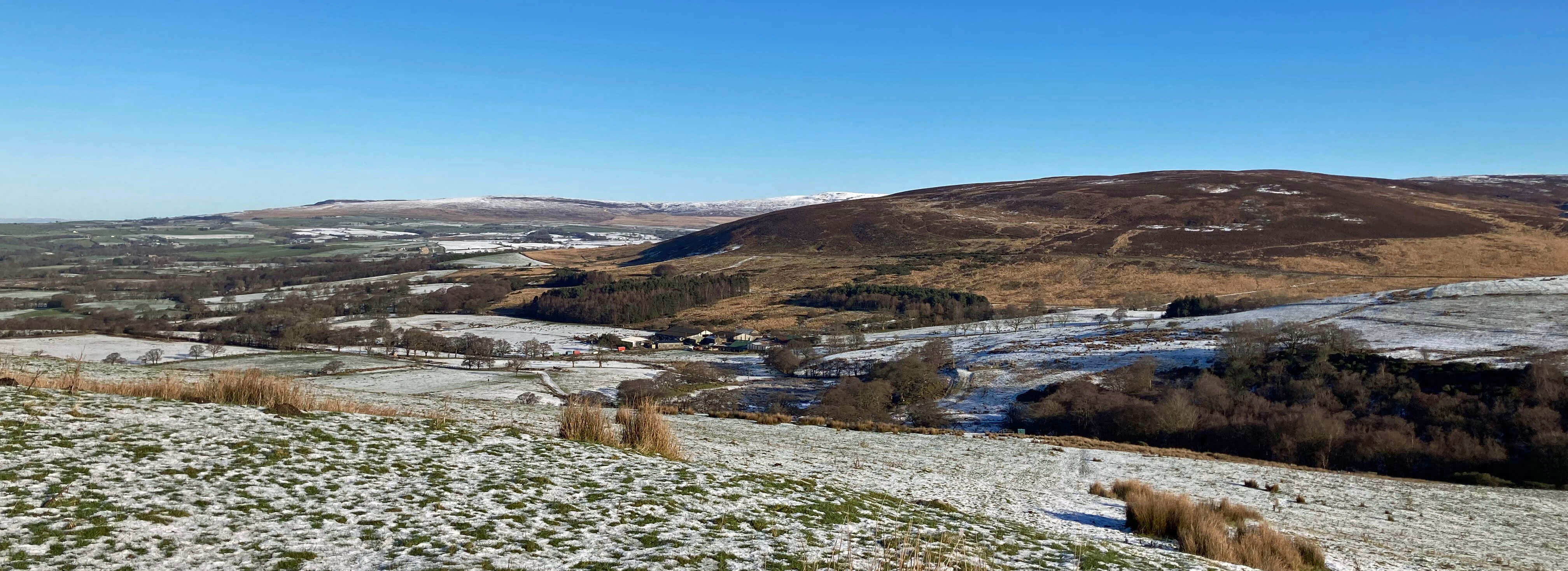
From Nicky Nook to Clougha Pike, Grit Fell, Ward's Stone and Harrisend Fell
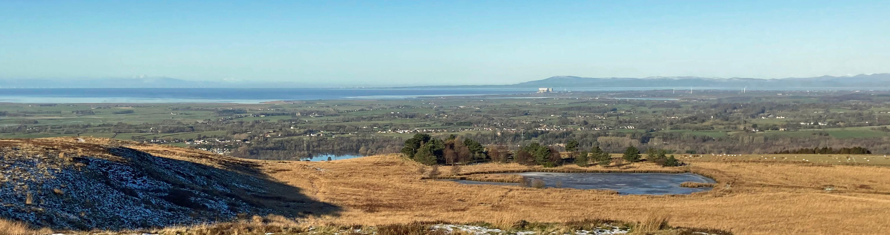
From Nicky Nook to the Lune Estuary, with Black Combe behind the power station and the grey outline of Isle of Man hills to the left
The painting below, entitled æLune Estuary from Nicky NookÆ, seems, to me, to be in a style somewhere between the previous two. The colouring is unnaturally bright and there is little attempt to realistically depict much of what can be seen in the view. In fact, from an apparently nearer vantage point, it depicts more of the Lune estuary than I could see from Nicky Nook. It does nonetheless convey an impression of the flat fields of Fylde to the estuary.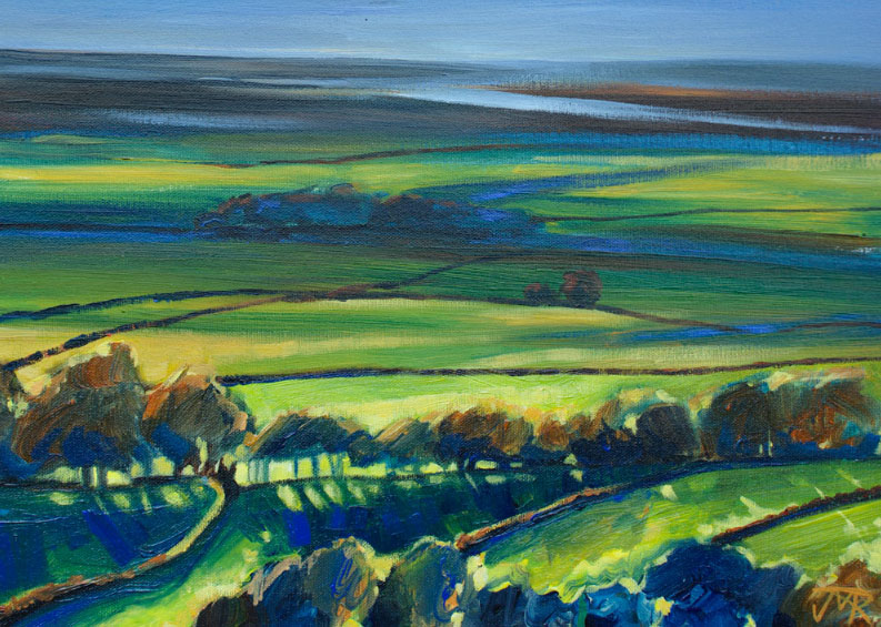
Lune Estuary from Nicky Nook
The path down from Nicky Nook was no fun at all. It is such a popular route up from Scorton that walkers had compressed the snow into ice. I passed a number of walkers on their way up and they all kindly warned me that my path ahead was slippery. In return, I warned them that paths down are always more slippery than paths up.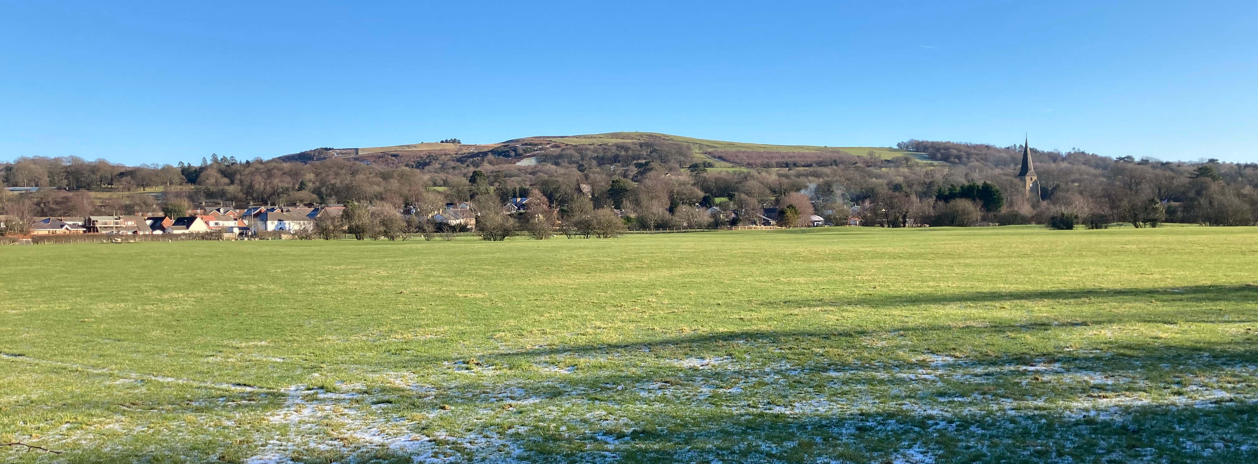
Scorton and Nicky Nook
Please note: details of the three paintings are given at these web-sites:
Home Preamble Index Areas Map References Me Drakkar
® John Self, Drakkar Press, 2018-

Top photo: The western Howgills from Dillicar; Bottom photo: Blencathra from Great Mell Fell